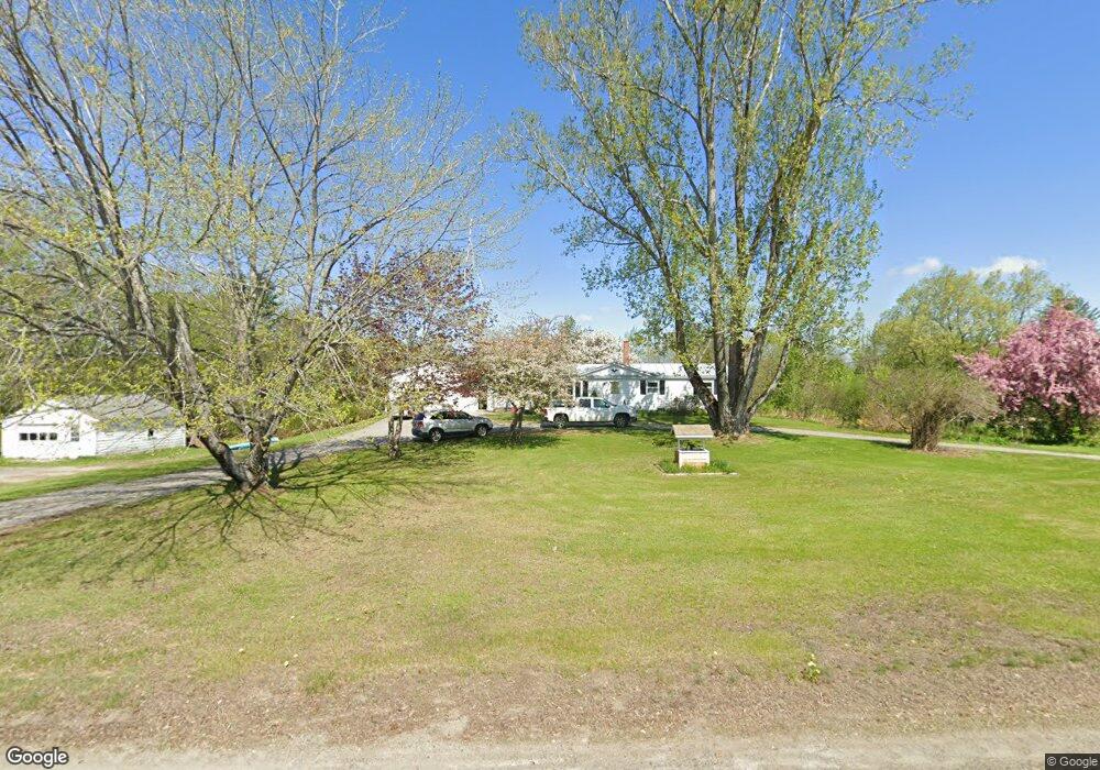
1965 Mercer Rd Mercer, ME 04957
Estimated Value: $275,000 - $322,000
3
Beds
1
Bath
1,272
Sq Ft
$231/Sq Ft
Est. Value
About This Home
This home is located at 1965 Mercer Rd, Mercer, ME 04957 and is currently estimated at $293,242, approximately $230 per square foot. 1965 Mercer Rd is a home located in Somerset County.
Ownership History
Date
Name
Owned For
Owner Type
Purchase Details
Closed on
Sep 22, 2016
Sold by
Redlevske Brent L Est
Bought by
Redlevske Casaundra B
Current Estimated Value
Home Financials for this Owner
Home Financials are based on the most recent Mortgage that was taken out on this home.
Original Mortgage
$105,000
Interest Rate
3.45%
Mortgage Type
Commercial
Purchase Details
Closed on
Nov 8, 2006
Sold by
Redlevske Harvard L and Redlevske Dorothy K
Bought by
Redlevske Brent L and Redlevske Barry A
Create a Home Valuation Report for This Property
The Home Valuation Report is an in-depth analysis detailing your home's value as well as a comparison with similar homes in the area
Home Values in the Area
Average Home Value in this Area
Purchase History
| Date | Buyer | Sale Price | Title Company |
|---|---|---|---|
| Redlevske Casaundra B | -- | -- | |
| Redlevske Casaundra B | -- | -- | |
| Redlevske Casaundra B | -- | -- | |
| Redlevske Brent L | -- | -- |
Source: Public Records
Mortgage History
| Date | Status | Borrower | Loan Amount |
|---|---|---|---|
| Closed | Redlevske Casaundra B | $105,000 |
Source: Public Records
Tax History Compared to Growth
Tax History
| Year | Tax Paid | Tax Assessment Tax Assessment Total Assessment is a certain percentage of the fair market value that is determined by local assessors to be the total taxable value of land and additions on the property. | Land | Improvement |
|---|---|---|---|---|
| 2024 | $2,424 | $230,900 | $97,600 | $133,300 |
| 2023 | $2,361 | $126,931 | $39,283 | $87,648 |
| 2022 | $2,234 | $126,931 | $39,283 | $87,648 |
| 2021 | $2,234 | $126,931 | $39,283 | $87,648 |
| 2020 | $2,189 | $124,393 | $37,783 | $86,610 |
| 2019 | $2,152 | $124,393 | $37,783 | $86,610 |
| 2018 | $2,040 | $124,393 | $37,783 | $86,610 |
| 2017 | $1,989 | $124,393 | $37,783 | $86,610 |
| 2016 | $1,984 | $124,393 | $37,783 | $86,610 |
| 2015 | $1,968 | $124,393 | $37,783 | $86,610 |
| 2014 | $1,896 | $124,393 | $37,783 | $86,610 |
Source: Public Records
Map
Nearby Homes
- 335 Swan Rd
- 257 Rome Rd
- 204 Rome Rd
- ML 18-40 Swan Rd
- 203 Beans Corner Rd
- 17 Claude Brewer Rd
- 331 Beans Corner Rd
- 681 Mile Hill Rd
- 35 Industry Rd
- 33 Kimball Pond
- 00 U S Highway 2
- 510 Branns Mill Rd
- 28 Cape Cod Hill Rd
- 349 Elm St
- Lot 9 & 12 Smith Rd
- 59 Chandler Rd
- 10 Trista Ln
- M10/18-7 Brown Rd
- 1550 New Sharon Rd
- M18L13 Mercer Rd