Estimated Value: $388,000 - $448,000
3
Beds
2
Baths
1,612
Sq Ft
$258/Sq Ft
Est. Value
About This Home
This home is located at 1965 Reynolds Dr, Azle, TX 76020 and is currently estimated at $415,629, approximately $257 per square foot. 1965 Reynolds Dr is a home located in Parker County with nearby schools including Azle Elementary School, Azle Junior High School, and Azle High School.
Ownership History
Date
Name
Owned For
Owner Type
Purchase Details
Closed on
Jun 4, 2015
Sold by
Scrimshire Shawna Lynn
Bought by
Price Zachary I and Price Jeannie E
Current Estimated Value
Home Financials for this Owner
Home Financials are based on the most recent Mortgage that was taken out on this home.
Original Mortgage
$235,000
Outstanding Balance
$181,558
Interest Rate
3.68%
Mortgage Type
VA
Estimated Equity
$234,071
Purchase Details
Closed on
Dec 6, 1989
Bought by
Price Zachary I and Price Jeannie E
Create a Home Valuation Report for This Property
The Home Valuation Report is an in-depth analysis detailing your home's value as well as a comparison with similar homes in the area
Home Values in the Area
Average Home Value in this Area
Purchase History
| Date | Buyer | Sale Price | Title Company |
|---|---|---|---|
| Price Zachary I | -- | Alamo Title Company | |
| Price Zachary I | -- | -- |
Source: Public Records
Mortgage History
| Date | Status | Borrower | Loan Amount |
|---|---|---|---|
| Open | Price Zachary I | $235,000 |
Source: Public Records
Tax History Compared to Growth
Tax History
| Year | Tax Paid | Tax Assessment Tax Assessment Total Assessment is a certain percentage of the fair market value that is determined by local assessors to be the total taxable value of land and additions on the property. | Land | Improvement |
|---|---|---|---|---|
| 2025 | $1,910 | $366,678 | -- | -- |
| 2024 | $1,910 | $333,344 | -- | -- |
| 2023 | $1,910 | $303,040 | $0 | $0 |
| 2022 | $5,062 | $273,590 | $106,640 | $166,950 |
| 2021 | $4,995 | $273,590 | $106,640 | $166,950 |
| 2020 | $4,516 | $234,210 | $63,410 | $170,800 |
| 2019 | $4,522 | $234,210 | $63,410 | $170,800 |
| 2018 | $4,124 | $215,970 | $54,750 | $161,220 |
| 2017 | $3,572 | $215,970 | $54,750 | $161,220 |
| 2016 | $3,247 | $166,220 | $54,750 | $111,470 |
| 2015 | $1,196 | $166,220 | $54,750 | $111,470 |
| 2014 | -- | $167,570 | $54,750 | $112,820 |
Source: Public Records
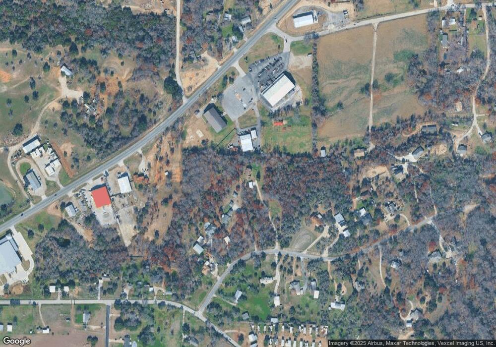
Map
Nearby Homes
- 595 Flat Rock Rd
- 1550 S Stewart St
- 6021 Piper Anne St
- 405 Glade Crest Rd
- TBD 2 Flat Rock Rd
- Lot 143 Blk 4 Veal Station Rd
- 4024 Olivia Lucille St
- 255 Baughman Hill Rd
- TBD Flat Rock Rd
- 181 Churchill Cir
- 209 Churchill Ct
- 1020 Don Eve Ct
- 1017 Don Eve Ct
- 1016 Don Eve Ct
- 1032 Don Eve Ct
- 1028 Don Eve Ct
- 1024 Don Eve Ct
- 1025 Don Eve Ct
- 1013 Don Eve Ct
- 1012 Don Eve Ct
- 1973 Reynolds Dr
- 1981 Reynolds Dr
- 1957 Reynolds Dr
- 1989 Reynolds Dr
- 11500 S Fm 730
- 11500 S Fm 730
- 1972 Reynolds Dr
- 1733 S Stewart St
- 1960 Reynolds Dr
- 1988 Reynolds Dr
- 112 Thomas Len Rd
- 1937 Reynolds Dr
- 11705 S Fm 730
- 457 Flat Rock Rd
- 11468 Fm Rd 730
- 1925 Reynolds Dr
- 11468 S Fm 730
- 1917 1917 Dr
- 120 Thomas Len Rd
- 1940 Reynolds Dr