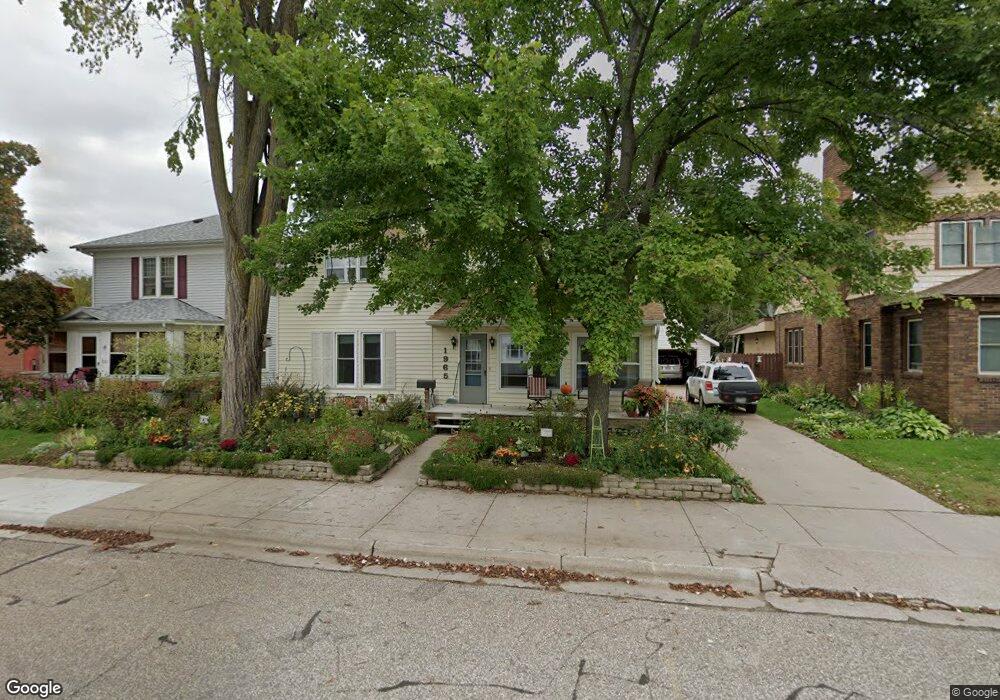
1965 Strongs Ave Stevens Point, WI 54481
Estimated Value: $179,000 - $294,000
4
Beds
2
Baths
--
Sq Ft
7,187
Sq Ft Lot
About This Home
This home is located at 1965 Strongs Ave, Stevens Point, WI 54481 and is currently estimated at $230,194. 1965 Strongs Ave is a home located in Portage County with nearby schools including Jefferson Elementary School, P.J. Jacobs Junior High School, and Stevens Point Area Senior High School.
Ownership History
Date
Name
Owned For
Owner Type
Purchase Details
Closed on
Oct 20, 2025
Sold by
Moore William S and Moore Mary Kay
Bought by
Blaskowski Michael and Blaskowski Sara
Current Estimated Value
Home Financials for this Owner
Home Financials are based on the most recent Mortgage that was taken out on this home.
Original Mortgage
$8,050
Outstanding Balance
$8,050
Interest Rate
6.5%
Mortgage Type
New Conventional
Estimated Equity
$222,144
Purchase Details
Closed on
Oct 26, 2018
Sold by
Kay Moore Mary
Bought by
Moore Mary Kay and Moore William S
Create a Home Valuation Report for This Property
The Home Valuation Report is an in-depth analysis detailing your home's value as well as a comparison with similar homes in the area
Home Values in the Area
Average Home Value in this Area
Purchase History
| Date | Buyer | Sale Price | Title Company |
|---|---|---|---|
| Blaskowski Michael | $230,000 | None Listed On Document | |
| Moore Mary Kay | -- | -- |
Source: Public Records
Mortgage History
| Date | Status | Borrower | Loan Amount |
|---|---|---|---|
| Open | Blaskowski Michael | $8,050 | |
| Open | Blaskowski Michael | $225,834 |
Source: Public Records
Tax History Compared to Growth
Tax History
| Year | Tax Paid | Tax Assessment Tax Assessment Total Assessment is a certain percentage of the fair market value that is determined by local assessors to be the total taxable value of land and additions on the property. | Land | Improvement |
|---|---|---|---|---|
| 2024 | $29 | $164,100 | $19,800 | $144,300 |
| 2023 | $0 | $164,100 | $19,800 | $144,300 |
| 2022 | $2,504 | $106,200 | $16,200 | $90,000 |
| 2021 | $2,416 | $106,200 | $16,200 | $90,000 |
| 2020 | $2,457 | $106,200 | $16,200 | $90,000 |
| 2019 | $2,411 | $106,200 | $16,200 | $90,000 |
| 2018 | $2,266 | $106,200 | $16,200 | $90,000 |
| 2017 | $2,220 | $106,200 | $16,200 | $90,000 |
| 2016 | $2,150 | $92,600 | $11,800 | $80,800 |
| 2015 | $2,177 | $92,600 | $11,800 | $80,800 |
| 2014 | $2,117 | $92,600 | $11,800 | $80,800 |
Source: Public Records
Map
Nearby Homes
- 2101 Strongs Ave
- 1949 Church St
- 1317 Wisconsin St
- 1025 Wisconsin St
- 2117 Wyatt Ave
- 2500 Water St
- 1417 Rogers St
- 2043 Ellis St
- 1700 Fremont St
- 1724 Main St
- 2301 Dixon St
- 1532 College Ave Unit 1101/1101A Rogers St
- 1016 3rd St
- 1016 Portage St
- 2716 Michigan Ave
- 416 W Scott St
- 909 Illinois Ave
- 1309 W Pearl St
- 1026 4th Ave
- 456 W Karner St
- 1957 Strongs Ave
- 1973 Strongs Ave
- 1983 Strongs Ave
- 1981 Strongs Ave Unit 1200 Shaurette Stree
- 1964 Church St
- 1972 Church St
- 1980 Strongs Ave
- 1980 Church St
- 1964 Strongs Ave
- 1956 Strongs Ave
- 1941 Strongs Ave
- 1948 Church St
- 1948 Strongs Ave
- 1124 Shaurette St
- 1933 Strongs Ave
- 1940 Strongs Ave
- 1932 Church St
- 2100 Church St
- 1209 Shaurette St
- 1108 Shaurette St