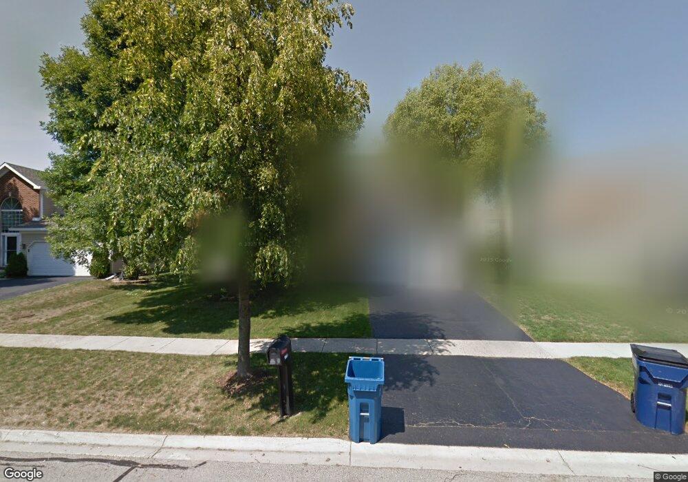
1965 Windmill Dr Hanover Park, IL 60133
South Tri Village NeighborhoodEstimated Value: $377,000 - $466,000
4
Beds
3
Baths
2,256
Sq Ft
$190/Sq Ft
Est. Value
About This Home
This home is located at 1965 Windmill Dr, Hanover Park, IL 60133 and is currently estimated at $429,035, approximately $190 per square foot. 1965 Windmill Dr is a home located in DuPage County with nearby schools including Elsie C. Johnson Elementary School, Stratford Middle School, and Glenbard North High School.
Ownership History
Date
Name
Owned For
Owner Type
Purchase Details
Closed on
Apr 30, 2004
Sold by
Kapuscik Barbara Kubiak and Kapuscik Jacek
Bought by
Robertson Harold P and Robertson Dana N
Current Estimated Value
Home Financials for this Owner
Home Financials are based on the most recent Mortgage that was taken out on this home.
Original Mortgage
$285,000
Outstanding Balance
$142,945
Interest Rate
6.5%
Mortgage Type
Purchase Money Mortgage
Estimated Equity
$286,090
Create a Home Valuation Report for This Property
The Home Valuation Report is an in-depth analysis detailing your home's value as well as a comparison with similar homes in the area
Home Values in the Area
Average Home Value in this Area
Purchase History
| Date | Buyer | Sale Price | Title Company |
|---|---|---|---|
| Robertson Harold P | $300,000 | Stewart Title Company |
Source: Public Records
Mortgage History
| Date | Status | Borrower | Loan Amount |
|---|---|---|---|
| Open | Robertson Harold P | $285,000 |
Source: Public Records
Tax History
| Year | Tax Paid | Tax Assessment Tax Assessment Total Assessment is a certain percentage of the fair market value that is determined by local assessors to be the total taxable value of land and additions on the property. | Land | Improvement |
|---|---|---|---|---|
| 2024 | $10,692 | $123,469 | $36,417 | $87,052 |
| 2023 | $10,007 | $112,020 | $33,040 | $78,980 |
| 2022 | $9,458 | $100,110 | $29,530 | $70,580 |
| 2021 | $9,093 | $95,030 | $28,030 | $67,000 |
| 2020 | $8,904 | $92,180 | $27,190 | $64,990 |
| 2019 | $8,596 | $88,890 | $26,220 | $62,670 |
| 2018 | $8,323 | $83,030 | $25,090 | $57,940 |
| 2017 | $8,249 | $79,720 | $24,090 | $55,630 |
| 2016 | $8,139 | $76,150 | $23,010 | $53,140 |
| 2015 | $8,233 | $72,080 | $21,780 | $50,300 |
| 2014 | $8,416 | $73,950 | $22,350 | $51,600 |
| 2013 | $8,334 | $75,720 | $22,880 | $52,840 |
Source: Public Records
Map
Nearby Homes
- 1901 Pastoral Ln
- 1840 Windmill Dr
- 4465 Morton Rd
- 2198 Wildwood Ln
- 3945 County Farm Rd
- 2325 Bayside Dr
- 2065 Millpond Ln
- 1516 Trenton Ln
- 1784 Mccormick Ln
- 1632 Columbia Cir Unit 2
- 1619 Camberley Ct Unit 2
- 1632 Columbia Cir Unit 4
- 2124 Baldwin Ln
- 1308 Coldspring Rd Unit 7
- 422 Cromwell Cir Unit 2
- 427 W Army Trail Rd
- 429 W Army Trail Rd
- 415 W Army Trail Rd
- 1414 Montauk Ct
- 403 Cromwell Cir Unit 2
- 1955 Windmill Dr
- 1975 Windmill Dr
- 1928 Pastoral Ln
- 1922 Pastoral Ln
- 1934 Pastoral Ln
- 1985 Windmill Dr
- 1945 Windmill Dr
- 1916 Pastoral Ln
- 1948 Windmill Dr
- 1940 Pastoral Ln
- 1936 Windmill Dr
- 1960 Windmill Dr
- 1935 Windmill Dr
- 1952 Pastoral Ln
- 1910 Pastoral Ln
- 1946 Pastoral Ln
- 1972 Windmill Dr
- 1924 Windmill Dr
- 1909 Pastoral Ln
- 1912 Windmill Dr
Your Personal Tour Guide
Ask me questions while you tour the home.