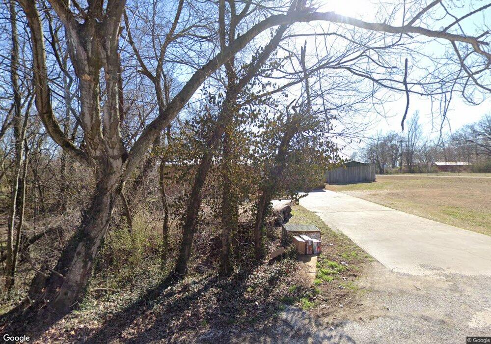
19657 Unity Rd Springdale, AR 72764
Estimated Value: $147,000 - $376,000
Studio
2
Baths
2,016
Sq Ft
$136/Sq Ft
Est. Value
About This Home
This home is located at 19657 Unity Rd, Springdale, AR 72764 and is currently estimated at $273,576, approximately $135 per square foot. 19657 Unity Rd is a home located in Washington County with nearby schools including Sonora Elementary School, Sonora Middle School, and Lakeside Junior High School.
Ownership History
Date
Name
Owned For
Owner Type
Purchase Details
Closed on
Aug 7, 2015
Sold by
Commissioner
Bought by
Vanderbilt Mortgage & Finance Inc
Current Estimated Value
Purchase Details
Closed on
Feb 1, 1993
Bought by
Truex Robert L
Purchase Details
Closed on
Dec 24, 1991
Bought by
Dunn Johnnie Harold and Dunn Linda S
Purchase Details
Closed on
Dec 19, 1990
Bought by
First State Bank, Springdale, Ar
Purchase Details
Closed on
Sep 29, 1989
Bought by
Ashmore Jerry
Purchase Details
Closed on
Sep 27, 1978
Bought by
Ashmore Mary Louise
Create a Home Valuation Report for This Property
The Home Valuation Report is an in-depth analysis detailing your home's value as well as a comparison with similar homes in the area
Home Values in the Area
Average Home Value in this Area
Purchase History
| Date | Buyer | Sale Price | Title Company |
|---|---|---|---|
| Vanderbilt Mortgage & Finance Inc | -- | -- | |
| Truex Robert L | $65,000 | -- | |
| Dunn Johnnie Harold | $49,000 | -- | |
| First State Bank, Springdale, Ar | -- | -- | |
| Ashmore Jerry | -- | -- | |
| Ashmore Mary Louise | -- | -- |
Source: Public Records
Tax History Compared to Growth
Tax History
| Year | Tax Paid | Tax Assessment Tax Assessment Total Assessment is a certain percentage of the fair market value that is determined by local assessors to be the total taxable value of land and additions on the property. | Land | Improvement |
|---|---|---|---|---|
| 2025 | $322 | $44,800 | $7,200 | $37,600 |
| 2024 | $422 | $44,800 | $7,200 | $37,600 |
| 2023 | $515 | $44,800 | $7,200 | $37,600 |
| 2022 | $554 | $30,210 | $5,400 | $24,810 |
| 2021 | $554 | $30,210 | $5,400 | $24,810 |
| 2020 | $554 | $30,210 | $5,400 | $24,810 |
| 2019 | $554 | $24,550 | $3,600 | $20,950 |
| 2018 | $579 | $24,550 | $3,600 | $20,950 |
| 2017 | $530 | $24,550 | $3,600 | $20,950 |
| 2016 | $570 | $24,550 | $3,600 | $20,950 |
| 2015 | $570 | $24,550 | $3,600 | $20,950 |
| 2014 | $576 | $19,062 | $1,645 | $17,417 |
Source: Public Records
Map
Nearby Homes
- 19731 Nob Hill Loop
- 0 N Lakeshore Wc 1064
- 22359 Derik Rd
- 22490 Derik Rd
- 0 War Eagle Wc 507
- 21732 Chinquapin Rd
- 19123 Hill Rd
- 22037 Dogwood Cir
- 18318 Oakridge Rd
- 21830 Friendship View Dr
- 17952 Pine Ridge
- TBD Tract B Hardwood Rd
- Lot 12 Barzel Point Rd
- 4.32 AC Barzel Point Rd
- 17950 Cate Farm Rd
- 0 Hickory Springs Rd
- TBD Hickory Springs Rd
- 14201 Horse Shoe Dr
- 23386 Copeland Ln
- 20507 Highway 303 S
- 21404 War Eagle Blacktop Rd
- 19679 Unity Rd
- 21461 War Eagle Blacktop Rd
- 21451 War Eagle Blacktop Rd
- 19667 Nob Hill Loop
- 21483 War Eagle Blacktop Rd
- 19692 Unity Rd
- 0 Dixon
- 21492 War Eagle Blacktop Rd
- 21423 War Eagle Blacktop Rd
- 19627 Nob Hill Loop
- 21509 War Eagle Blacktop Rd
- 0 War Eagle Blacktop Rd Unit 279075
- 0 War Eagle Blacktop Rd Unit 474245
- 658 War Eagle Blacktop
- 0 War Eagle Blacktop Rd Unit 340392
- 0 War Eagle Blacktop Rd Unit 340391
- 0 War Eagle Blacktop Rd Unit 277122
- 000 War Eagle Blacktop
- 0 War Eagle Blacktop Rd Unit 292442
