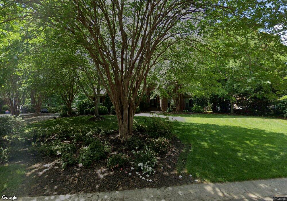
1966 Farrow Dr Rock Hill, SC 29732
Estimated Value: $735,000 - $869,000
5
Beds
4
Baths
3,916
Sq Ft
$201/Sq Ft
Est. Value
About This Home
This home is located at 1966 Farrow Dr, Rock Hill, SC 29732 and is currently estimated at $787,982, approximately $201 per square foot. 1966 Farrow Dr is a home located in York County with nearby schools including Rawlinson Road Middle School, Northwestern High School, and York Preparatory Academy.
Ownership History
Date
Name
Owned For
Owner Type
Purchase Details
Closed on
May 27, 2015
Sold by
Rome Gregory E and Rome Alyson R
Bought by
Moore Lewis D
Current Estimated Value
Home Financials for this Owner
Home Financials are based on the most recent Mortgage that was taken out on this home.
Original Mortgage
$390,600
Outstanding Balance
$304,354
Interest Rate
3.92%
Mortgage Type
New Conventional
Estimated Equity
$483,628
Purchase Details
Closed on
Feb 6, 2009
Sold by
Rome Alyson R and Rome Gregory E
Bought by
Meadow Lakes Ii Homeowners Association I
Purchase Details
Closed on
Aug 2, 2006
Sold by
Crook James D and Crook Susan
Bought by
Rome Alyson R and Rome Gregory E
Create a Home Valuation Report for This Property
The Home Valuation Report is an in-depth analysis detailing your home's value as well as a comparison with similar homes in the area
Home Values in the Area
Average Home Value in this Area
Purchase History
| Date | Buyer | Sale Price | Title Company |
|---|---|---|---|
| Moore Lewis D | $434,000 | -- | |
| Meadow Lakes Ii Homeowners Association I | -- | -- | |
| Rome Alyson R | $505,000 | None Available |
Source: Public Records
Mortgage History
| Date | Status | Borrower | Loan Amount |
|---|---|---|---|
| Open | Moore Lewis D | $390,600 |
Source: Public Records
Tax History Compared to Growth
Tax History
| Year | Tax Paid | Tax Assessment Tax Assessment Total Assessment is a certain percentage of the fair market value that is determined by local assessors to be the total taxable value of land and additions on the property. | Land | Improvement |
|---|---|---|---|---|
| 2024 | $3,684 | $16,790 | $4,180 | $12,610 |
| 2023 | $3,694 | $16,790 | $4,180 | $12,610 |
| 2022 | $3,719 | $16,790 | $4,180 | $12,610 |
| 2021 | -- | $16,790 | $4,180 | $12,610 |
| 2020 | $3,727 | $16,790 | $0 | $0 |
| 2019 | $3,746 | $16,360 | $0 | $0 |
| 2018 | $3,742 | $16,360 | $0 | $0 |
| 2017 | $3,604 | $16,360 | $0 | $0 |
| 2016 | $3,571 | $16,360 | $0 | $0 |
| 2014 | $3,702 | $23,460 | $6,300 | $17,160 |
| 2013 | $3,702 | $20,080 | $4,200 | $15,880 |
Source: Public Records
Map
Nearby Homes
- 1594 Summit View Dr
- 1593 Worthington Crossing
- 1548 Summit View Dr
- 2069 Landry Ln Unit 233
- 2076 Landry Ln Unit 232
- 1189 Quiet Acres Rd
- 2765 Dogwood Cir
- 1487 The Crossing
- 1183 Quiet Acres Rd
- 2615 Oakhurst Dr
- 1122 Wendy Rd
- 985 Montgomery Dr
- 1768 Williamsburg Dr
- 926 Meadow Lakes Rd
- 1085 Pinecrest Dr
- 829 Rawlinson Rd
- 981 Meadowlark Dr
- 446 Guiness Place
- 2358 Sparrow Dr
- 609 Rosemore Place
- 1976 Farrow Dr
- 1976 Farrow Dr Unit 208
- 1956 Farrow Dr
- 1986 Farrow Dr
- 1946 Farrow Dr
- 1963 Farrow Dr
- 1953 Farrow Dr
- 1973 Farrow Dr
- 1983 Farrow Dr
- 1968 Landry Ln
- 1943 Farrow Dr
- 1938 Farrow Dr
- 1958 Landry Ln
- 1978 Landry Ln
- 1687 Nestledown Ct
- 1948 Landry Ln
- 1962 Olde Oxford Ct
- 1970 Olde Oxford Ct
- 1954 Olde Oxford Ct
- 1993 Farrow Dr