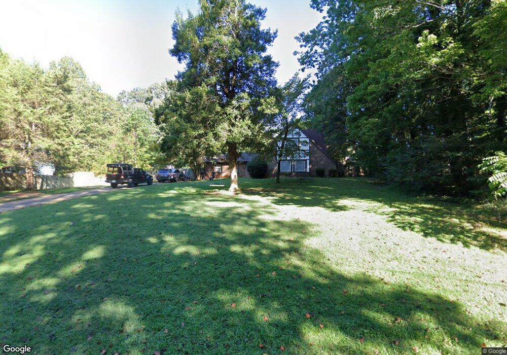
1966 Laurie Dr Haw River, NC 27258
Estimated Value: $259,000 - $294,000
4
Beds
2
Baths
1,726
Sq Ft
$163/Sq Ft
Est. Value
About This Home
This home is located at 1966 Laurie Dr, Haw River, NC 27258 and is currently estimated at $281,927, approximately $163 per square foot. 1966 Laurie Dr is a home located in Alamance County with nearby schools including Garrett Elementary School, Hawfields Middle School, and Alamance Community School.
Ownership History
Date
Name
Owned For
Owner Type
Purchase Details
Closed on
Sep 21, 2020
Sold by
Drake Nancy J
Bought by
Ackereizen Elizabeth and Ackereizen Joel
Current Estimated Value
Home Financials for this Owner
Home Financials are based on the most recent Mortgage that was taken out on this home.
Original Mortgage
$130,000
Outstanding Balance
$103,969
Interest Rate
2.8%
Mortgage Type
New Conventional
Estimated Equity
$177,958
Purchase Details
Closed on
May 15, 1995
Bought by
Drake Nancy J
Create a Home Valuation Report for This Property
The Home Valuation Report is an in-depth analysis detailing your home's value as well as a comparison with similar homes in the area
Home Values in the Area
Average Home Value in this Area
Purchase History
| Date | Buyer | Sale Price | Title Company |
|---|---|---|---|
| Ackereizen Elizabeth | $167,000 | None Available | |
| Drake Nancy J | $112,000 | -- |
Source: Public Records
Mortgage History
| Date | Status | Borrower | Loan Amount |
|---|---|---|---|
| Open | Ackereizen Elizabeth | $130,000 |
Source: Public Records
Tax History Compared to Growth
Tax History
| Year | Tax Paid | Tax Assessment Tax Assessment Total Assessment is a certain percentage of the fair market value that is determined by local assessors to be the total taxable value of land and additions on the property. | Land | Improvement |
|---|---|---|---|---|
| 2025 | $1,510 | $257,802 | $40,000 | $217,802 |
| 2024 | $1,446 | $257,802 | $40,000 | $217,802 |
| 2023 | $1,344 | $257,802 | $40,000 | $217,802 |
| 2022 | $1,159 | $148,383 | $35,000 | $113,383 |
| 2021 | $1,174 | $148,383 | $35,000 | $113,383 |
| 2020 | $1,189 | $148,383 | $35,000 | $113,383 |
| 2019 | $1,194 | $148,383 | $35,000 | $113,383 |
| 2018 | $0 | $148,383 | $35,000 | $113,383 |
| 2017 | $1,056 | $148,383 | $35,000 | $113,383 |
| 2016 | $1,030 | $144,044 | $27,027 | $117,017 |
| 2015 | $1,025 | $144,044 | $27,027 | $117,017 |
| 2014 | -- | $144,044 | $27,027 | $117,017 |
Source: Public Records
Map
Nearby Homes
- 1420 Haywood St
- 468 Fran Dr
- 464 Fran Dr
- 462 Fran Dr
- 460 Fran Dr
- VL Trollingwood Rd
- 470 Fran Dr
- Cameron Plan at Lawson Townes
- 635 Black Angus Dr
- 1679 U S 70
- 753 Gibson Rd
- 119 S Spray St
- 1760 Post Oak Dr
- 1204 Bethpage Dr
- 1122 Birkdale Dr
- 317 Single Tree Cir
- 131 N Wilkins Rd
- CALI Plan at Old Fields
- WILMINGTON Plan at Old Fields
- Alec Plan at Old Fields