1966 Lindsay Ln Unit 16 Ann Arbor, MI 48104
Allen NeighborhoodEstimated Value: $352,591 - $369,000
2
Beds
2
Baths
1,563
Sq Ft
$231/Sq Ft
Est. Value
About This Home
This home is located at 1966 Lindsay Ln Unit 16, Ann Arbor, MI 48104 and is currently estimated at $360,398, approximately $230 per square foot. 1966 Lindsay Ln Unit 16 is a home located in Washtenaw County with nearby schools including Allen Elementary School, Tappan Middle School, and Huron High School.
Ownership History
Date
Name
Owned For
Owner Type
Purchase Details
Closed on
Jul 17, 2006
Sold by
Patel Mahlaqa
Bought by
Ho Szu Shen
Current Estimated Value
Purchase Details
Closed on
Nov 2, 2004
Sold by
Terrasi Ursula Crenshaw and Mcdonald Jeanette
Bought by
Patel Mahlaqa
Home Financials for this Owner
Home Financials are based on the most recent Mortgage that was taken out on this home.
Original Mortgage
$210,900
Interest Rate
5%
Mortgage Type
Fannie Mae Freddie Mac
Purchase Details
Closed on
May 27, 1999
Sold by
Oak Homes Inc Charter
Bought by
Crenshaw Ursula
Create a Home Valuation Report for This Property
The Home Valuation Report is an in-depth analysis detailing your home's value as well as a comparison with similar homes in the area
Home Values in the Area
Average Home Value in this Area
Purchase History
| Date | Buyer | Sale Price | Title Company |
|---|---|---|---|
| Ho Szu Shen | $230,000 | None Available | |
| Patel Mahlaqa | $222,000 | -- | |
| Crenshaw Ursula | $172,446 | -- |
Source: Public Records
Mortgage History
| Date | Status | Borrower | Loan Amount |
|---|---|---|---|
| Previous Owner | Patel Mahlaqa | $210,900 |
Source: Public Records
Tax History Compared to Growth
Tax History
| Year | Tax Paid | Tax Assessment Tax Assessment Total Assessment is a certain percentage of the fair market value that is determined by local assessors to be the total taxable value of land and additions on the property. | Land | Improvement |
|---|---|---|---|---|
| 2025 | $6,081 | $168,800 | $0 | $0 |
| 2024 | $5,109 | $162,100 | $0 | $0 |
| 2023 | $4,718 | $156,100 | $0 | $0 |
| 2022 | $5,710 | $143,900 | $0 | $0 |
| 2021 | $5,549 | $147,200 | $0 | $0 |
| 2020 | $5,374 | $132,700 | $0 | $0 |
| 2019 | $5,126 | $110,300 | $110,300 | $0 |
| 2018 | $5,029 | $106,200 | $0 | $0 |
| 2017 | $4,852 | $101,500 | $0 | $0 |
| 2016 | $4,728 | $76,407 | $0 | $0 |
| 2015 | $4,534 | $76,179 | $0 | $0 |
| 2014 | $4,534 | $73,800 | $0 | $0 |
| 2013 | -- | $73,800 | $0 | $0 |
Source: Public Records
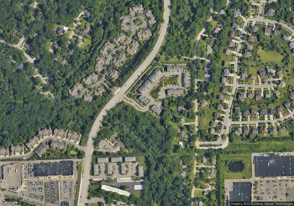
Map
Nearby Homes
- 1892 Lindsay Ln Unit 40
- 1535 Stonehaven St
- 3164 Asher Rd Unit 43
- 1690 Meadowside Dr
- 1365 Chalmers Dr
- 3093 Overridge Dr
- 2925 Exmoor Rd
- 2221 S Huron Pkwy Unit 3
- 1657 Glenwood Rd
- 3586 E Huron River Dr
- 2310 Pinecrest Ave
- 3595 E Huron River Dr
- 2468 Fernwood Ave
- 6 Salem Ct
- 3436 Edgewood Dr
- 2237 Trillium Ln
- 3455 Richard St
- 2460 Yost Blvd
- 2562 Fernwood Ave
- 2524 Elmwood Ave
- 1968 Lindsay Ln Unit 12
- 1966 Lindsay Ln Unit 204
- 1964 Lindsay Ln
- 1962 Lindsay Ln
- 1960 Lindsay Ln
- 1958 Lindsay Ln Unit 14
- 1954 Lindsay Ln Unit 9
- 1956 Lindsay Ln Unit 13
- 1947 Lindsay Ln
- 0 Lindsay Ln
- 1943 Lindsay Ln
- 1941 Lindsay Ln
- 1944 Lindsay Ln
- 1942 Lindsay Ln Unit 23
- 1938 Lindsay Ln Unit 18L
- 1940 Lindsay Ln Unit 24
- 1937 Lindsay Ln Unit 7
- 1934 Lindsay Ln Unit 25
- 1936 Lindsay Ln Unit 19
- 1930 Lindsay Ln Unit 20