1966 Mohegan Trail Block Island, RI 02807
Estimated Value: $3,031,155 - $3,432,000
3
Beds
4
Baths
2,983
Sq Ft
$1,070/Sq Ft
Est. Value
About This Home
This home is located at 1966 Mohegan Trail, Block Island, RI 02807 and is currently estimated at $3,191,385, approximately $1,069 per square foot. 1966 Mohegan Trail is a home with nearby schools including Block Island School.
Ownership History
Date
Name
Owned For
Owner Type
Purchase Details
Closed on
May 1, 2014
Sold by
Heritgage Assoc
Bought by
Lamoreaux Robert C
Current Estimated Value
Purchase Details
Closed on
Dec 30, 2004
Sold by
Agricola Robert and Agricola Maritha
Bought by
Heritage Assoc
Create a Home Valuation Report for This Property
The Home Valuation Report is an in-depth analysis detailing your home's value as well as a comparison with similar homes in the area
Home Values in the Area
Average Home Value in this Area
Purchase History
| Date | Buyer | Sale Price | Title Company |
|---|---|---|---|
| Lamoreaux Robert C | -- | -- | |
| Heritage Assoc | $1,325,000 | -- |
Source: Public Records
Mortgage History
| Date | Status | Borrower | Loan Amount |
|---|---|---|---|
| Open | Heritage Assoc | $735,000 |
Source: Public Records
Tax History Compared to Growth
Tax History
| Year | Tax Paid | Tax Assessment Tax Assessment Total Assessment is a certain percentage of the fair market value that is determined by local assessors to be the total taxable value of land and additions on the property. | Land | Improvement |
|---|---|---|---|---|
| 2024 | $13,643 | $2,471,500 | $1,198,300 | $1,273,200 |
| 2023 | $14,878 | $2,471,500 | $1,198,300 | $1,273,200 |
| 2022 | $11,255 | $1,589,680 | $1,082,720 | $506,960 |
| 2021 | $10,651 | $1,589,680 | $1,082,720 | $506,960 |
| 2020 | $10,110 | $1,589,680 | $1,082,720 | $506,960 |
| 2019 | $9,792 | $1,589,680 | $1,082,720 | $506,960 |
| 2018 | $9,699 | $1,630,080 | $1,082,720 | $547,360 |
| 2017 | $9,552 | $1,630,080 | $1,082,720 | $547,360 |
| 2016 | $9,324 | $1,630,080 | $1,082,720 | $547,360 |
| 2015 | $11,307 | $2,052,100 | $1,353,400 | $698,700 |
| 2014 | $10,998 | $2,059,600 | $1,353,400 | $706,200 |
| 2013 | $10,731 | $2,059,600 | $1,353,400 | $706,200 |
Source: Public Records
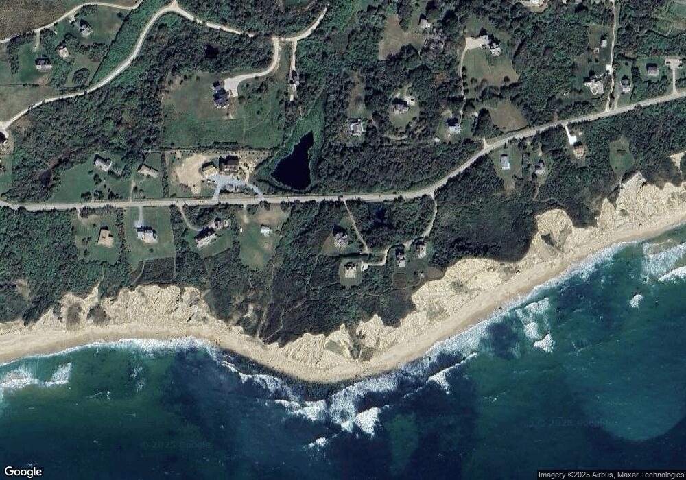
Map
Nearby Homes
- 0 Mohegan Trail
- 804 Mohegan Trail
- 1035 Mohegan Trail
- 1448 Mohegan Trail
- 1661 Sand Pond Rd
- 0 Snake Hole Rd
- 0 Pilot Hill Rd
- 1087 Lakeside Dr
- 194 Pilot Hill Rd
- 0 Spring St
- 0 Southeast Rd Unit 1381406
- 1289 High St
- 256 High St
- 481 Old Town Rd
- 1328 Cooneymus Rd
- 1501 Beacon Hill Rd
- 1596 W Side Rd
- 1557 W Side Rd
- 0 Coast Guard Rd
- 1210 Graces Cove Rd
- 800 Mohegan Trail
- 1967 Mohegan Trail
- 799 Mohegan Trail
- 1968 Mohegan Trail
- 802 Lakeside Dr
- 1454 Mohegan Trail
- 995 Mohegan Trail
- 1686 Mohegan Trail
- 803 Mohegan Trail
- 1014 Mohegan Trail
- 1082 Mohegan Trail
- 1066 Mohegan Trail
- 807 Mohegan Trail
- 801 Mohegan Trail
- 1808 Mohegan Trail
- 798 Mohegan Trail
- 1688 Mohegan Trail
- 1603R Payne Rd
- 975 Mohegan Trail
- 1656 Payne Rd