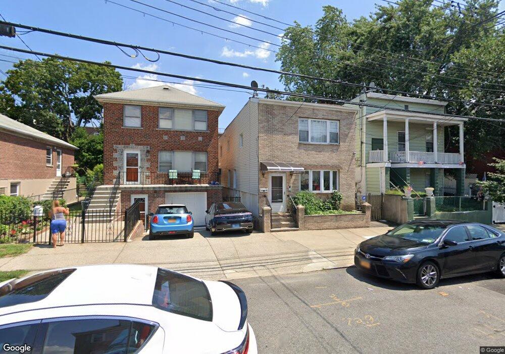
1966 Pilgrim Ave Bronx, NY 10461
Middletown-Pelham Bay NeighborhoodEstimated Value: $615,542 - $768,000
--
Bed
--
Bath
1,512
Sq Ft
$478/Sq Ft
Est. Value
About This Home
This home is located at 1966 Pilgrim Ave, Bronx, NY 10461 and is currently estimated at $723,136, approximately $478 per square foot. 1966 Pilgrim Ave is a home located in Bronx County with nearby schools including P.S. 71 Rose E Scala, Herbert H Lehman High School, and St. Theresa School.
Ownership History
Date
Name
Owned For
Owner Type
Purchase Details
Closed on
Jan 4, 2000
Sold by
Waterbury Management Corp
Bought by
Chen Chon Lai and Ho Mei Kai
Current Estimated Value
Home Financials for this Owner
Home Financials are based on the most recent Mortgage that was taken out on this home.
Original Mortgage
$150,000
Interest Rate
7.91%
Purchase Details
Closed on
Mar 18, 1998
Sold by
Valentino Vincent and Tartaglione Joanne
Bought by
Waterbury Management Corp
Create a Home Valuation Report for This Property
The Home Valuation Report is an in-depth analysis detailing your home's value as well as a comparison with similar homes in the area
Home Values in the Area
Average Home Value in this Area
Purchase History
| Date | Buyer | Sale Price | Title Company |
|---|---|---|---|
| Chen Chon Lai | $273,000 | -- | |
| Waterbury Management Corp | $75,000 | Chicago Title Insurance Co |
Source: Public Records
Mortgage History
| Date | Status | Borrower | Loan Amount |
|---|---|---|---|
| Closed | Chen Chon Lai | $150,000 |
Source: Public Records
Tax History Compared to Growth
Tax History
| Year | Tax Paid | Tax Assessment Tax Assessment Total Assessment is a certain percentage of the fair market value that is determined by local assessors to be the total taxable value of land and additions on the property. | Land | Improvement |
|---|---|---|---|---|
| 2025 | $1,957 | $28,663 | $5,558 | $23,105 |
| 2024 | $1,957 | $27,086 | $5,929 | $21,157 |
| 2023 | $2,066 | $26,836 | $5,564 | $21,272 |
| 2022 | $1,869 | $37,200 | $9,180 | $28,020 |
| 2021 | $1,803 | $34,440 | $9,180 | $25,260 |
| 2020 | $1,869 | $32,100 | $9,180 | $22,920 |
| 2019 | $1,702 | $29,640 | $9,180 | $20,460 |
| 2018 | $1,620 | $22,363 | $8,146 | $14,217 |
| 2017 | $1,505 | $21,105 | $7,144 | $13,961 |
| 2016 | $1,369 | $19,911 | $7,954 | $11,957 |
| 2015 | -- | $19,905 | $8,588 | $11,317 |
| 2014 | -- | $18,810 | $8,482 | $10,328 |
Source: Public Records
Map
Nearby Homes
- 1959B Edison Ave
- 1950 Pilgrim Ave
- 1932 Pilgrim Ave
- 2871 E 194th St
- 2010 Hobart Ave
- 2884 Saint Theresa Ave
- 2032 Hobart Ave
- 1926 Hutchinson River Pkwy E Unit E
- 2024 Continental Ave
- 2015 Saint Paul Ave Unit 6B
- 2015 St Paul Ave Unit 3G
- 2015 Saint Paul Ave Unit 3H
- 1865 Mulford Ave
- 1815 Mahan Ave
- 1836 Mulford Ave
- 1826 Mulford Ave
- 3036 Buhre Ave
- 1874 Pelham Pkwy S Unit 6E
- 1874 Pelham Pkwy S Unit 6M
- 1874 Pelham Pkwy S Unit 4R
- 1968 Pilgrim Ave
- 1962 Pilgrim Ave
- 1970 Pilgrim Ave
- 1954 Pilgrim Ave
- 1963 Edison Ave Unit A
- 1963 Edison Ave
- 1963A Edison Ave
- 1961B Edison Ave
- 1952 Pilgrim Ave
- 1961 Edison Ave
- 1961A Edison Ave
- 1965 Edison Ave
- 2884 Wilkinson Ave
- 2882 Wilkinson Ave
- 1959A Edison Ave
- 2872 Wilkinson Ave
- 2870 Wilkinson Ave
- 1959 Edison Ave
- 2886 Wilkinson Ave
- 1957 Edison Ave