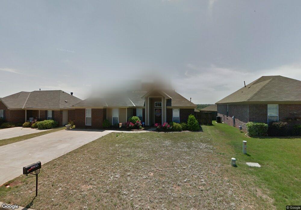
1966 Regent Rd Prattville, AL 36066
Estimated Value: $225,000 - $260,000
--
Bed
--
Bath
1,603
Sq Ft
$150/Sq Ft
Est. Value
About This Home
This home is located at 1966 Regent Rd, Prattville, AL 36066 and is currently estimated at $241,217, approximately $150 per square foot. 1966 Regent Rd is a home located in Autauga County with nearby schools including Daniel Pratt Elementary School, Prattville Jr High School, and Prattville High School.
Ownership History
Date
Name
Owned For
Owner Type
Purchase Details
Closed on
Jun 12, 2025
Sold by
Waites Venus M
Bought by
Ott James Trace and Harris Mckinzie
Current Estimated Value
Home Financials for this Owner
Home Financials are based on the most recent Mortgage that was taken out on this home.
Original Mortgage
$253,523
Outstanding Balance
$252,866
Interest Rate
6.76%
Mortgage Type
FHA
Estimated Equity
-$11,649
Create a Home Valuation Report for This Property
The Home Valuation Report is an in-depth analysis detailing your home's value as well as a comparison with similar homes in the area
Home Values in the Area
Average Home Value in this Area
Purchase History
| Date | Buyer | Sale Price | Title Company |
|---|---|---|---|
| Ott James Trace | $258,200 | None Listed On Document | |
| Ott James Trace | $258,200 | None Listed On Document |
Source: Public Records
Mortgage History
| Date | Status | Borrower | Loan Amount |
|---|---|---|---|
| Open | Ott James Trace | $253,523 | |
| Closed | Ott James Trace | $253,523 |
Source: Public Records
Tax History Compared to Growth
Tax History
| Year | Tax Paid | Tax Assessment Tax Assessment Total Assessment is a certain percentage of the fair market value that is determined by local assessors to be the total taxable value of land and additions on the property. | Land | Improvement |
|---|---|---|---|---|
| 2025 | $605 | $20,840 | $0 | $0 |
| 2024 | $578 | $19,960 | $0 | $0 |
| 2023 | $547 | $18,960 | $0 | $0 |
| 2022 | $505 | $17,600 | $0 | $0 |
| 2021 | $459 | $16,140 | $0 | $0 |
| 2020 | $435 | $15,340 | $0 | $0 |
| 2019 | $425 | $15,020 | $0 | $0 |
| 2018 | $429 | $15,160 | $0 | $0 |
| 2017 | $413 | $14,640 | $0 | $0 |
| 2015 | $404 | $0 | $0 | $0 |
| 2014 | $391 | $13,920 | $3,000 | $10,920 |
| 2013 | -- | $15,140 | $4,000 | $11,140 |
Source: Public Records
Map
Nearby Homes
- 112 Turnberry Ct
- 616 Little Farm Rd
- 1014 Kelly Way
- BEAU Plan at Highland Farms
- HARPER Plan at Highland Farms
- CALI Plan at Highland Farms
- FREEPORT Plan at Highland Farms
- WILLOW Plan at Highland Farms
- HAYDEN Plan at Highland Farms
- LAKESIDE Plan at Highland Farms
- PENWELL Plan at Highland Farms
- MAZIE Plan at Highland Farms
- 1013 Kelly Way
- 1011 Kelly Way
- 104 Grasmere Ct
- 1012 Kelly Way
- 1006 Kelly Way
- 1010 Kelly Way
- 787 Stapleford Trail
- 1002 Kelly Way
- 1968 Regent Rd
- 1964 Regent Rd
- 663 Little Farm Rd
- 1970 Regent Rd
- 1962 Regent Rd
- 661 Little Farm Rd
- 1967 Regent Rd
- 1972 Regent Rd
- 1965 Regent Rd
- 1960 Regent Rd
- 1969 Regent Rd
- 1963 Regent Rd
- 1971 Regent Rd
- 648 Little Farm Rd
- 1958 Regent Rd
- 659 Little Farm Rd
- 1974 Regent Rd
- 1956 Regent Rd
- 1961 Regent Rd
- 1973 Regent Rd