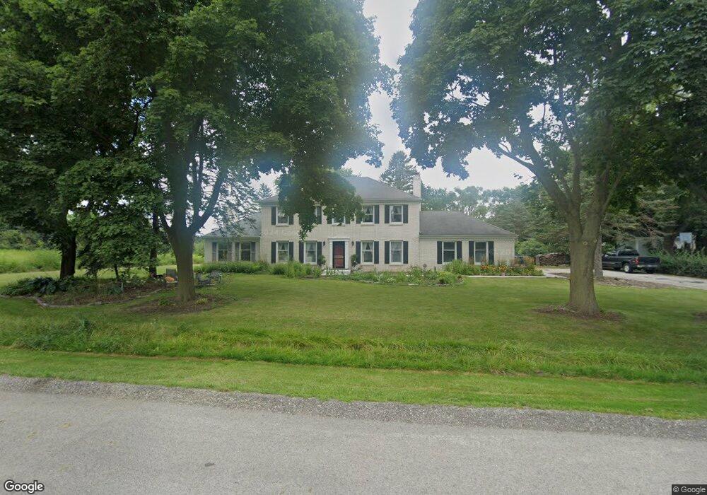
1966 Saint Andrews Dr Libertyville, IL 60048
Estimated Value: $693,193 - $772,000
--
Bed
3
Baths
2,839
Sq Ft
$255/Sq Ft
Est. Value
About This Home
This home is located at 1966 Saint Andrews Dr, Libertyville, IL 60048 and is currently estimated at $723,048, approximately $254 per square foot. 1966 Saint Andrews Dr is a home located in Lake County with nearby schools including Adler Park School, Highland Middle School, and Libertyville High School.
Ownership History
Date
Name
Owned For
Owner Type
Purchase Details
Closed on
Aug 31, 1999
Sold by
Mosior Dorothy L and Mosior John W
Bought by
Miksch David W
Current Estimated Value
Home Financials for this Owner
Home Financials are based on the most recent Mortgage that was taken out on this home.
Original Mortgage
$423,000
Outstanding Balance
$129,162
Interest Rate
8.21%
Estimated Equity
$593,886
Purchase Details
Closed on
Mar 24, 1997
Sold by
Mosior Dorothy L
Bought by
Mosior Dorothy L and Mosior John W
Create a Home Valuation Report for This Property
The Home Valuation Report is an in-depth analysis detailing your home's value as well as a comparison with similar homes in the area
Home Values in the Area
Average Home Value in this Area
Purchase History
| Date | Buyer | Sale Price | Title Company |
|---|---|---|---|
| Miksch David W | $470,000 | -- | |
| Mosior Dorothy L | -- | -- | |
| Mosior Dorothy L | -- | -- |
Source: Public Records
Mortgage History
| Date | Status | Borrower | Loan Amount |
|---|---|---|---|
| Open | Miksch David W | $423,000 |
Source: Public Records
Tax History Compared to Growth
Tax History
| Year | Tax Paid | Tax Assessment Tax Assessment Total Assessment is a certain percentage of the fair market value that is determined by local assessors to be the total taxable value of land and additions on the property. | Land | Improvement |
|---|---|---|---|---|
| 2024 | $13,155 | $190,262 | $57,831 | $132,431 |
| 2023 | $13,155 | $175,486 | $53,340 | $122,146 |
| 2022 | $12,033 | $160,482 | $51,269 | $109,213 |
| 2021 | $10,678 | $145,395 | $46,449 | $98,946 |
| 2020 | $10,267 | $142,950 | $45,668 | $97,282 |
| 2019 | $10,008 | $141,591 | $45,234 | $96,357 |
| 2018 | $9,774 | $143,340 | $47,059 | $96,281 |
| 2017 | $9,613 | $138,814 | $45,573 | $93,241 |
| 2016 | $9,275 | $131,614 | $43,209 | $88,405 |
| 2015 | $9,174 | $123,015 | $40,386 | $82,629 |
| 2014 | $9,989 | $121,364 | $39,844 | $81,520 |
| 2012 | $9,848 | $134,526 | $44,166 | $90,360 |
Source: Public Records
Map
Nearby Homes
- 1960 Pinehurst Ct
- 1917 Halifax St
- 1708 Park Crest Ct
- 1801 Torrey Pkwy
- 1834 Torrey Pkwy Unit 103
- 1509 Eric Ln
- 1304 Lingonberry Ct
- 18879 W Arbor Blvd
- 1607 Mulberry Dr
- 1544 Portia Rd
- 32381 N Forest Dr
- 1338 Trinity Place
- 178 Brookhill Rd
- 1512 Sunnyview Rd
- 1216 Kensington Dr
- 1209 Kensington Dr
- 107 Brookside Ct
- 360 Ambria Dr
- 1935 Lynn Cir
- 911 Paradise Ln
- 1962 Saint Andrews Dr
- 1967 Saint Andrews Dr
- 1961 Saint Andrews Dr
- 18684 W Bull Creek Dr
- 30908 N Pinehurst Ct
- 1510 Bull Creek Dr
- 18642 W Bull Creek Dr
- 1955 Saint Andrews Dr
- 1967 Pinehurst Ct
- 1961 Pinehurst Ct
- 30883 N Leesley Ct
- 30903 N Leesley Ct
- 1502 Bull Creek Dr
- 1515 Bull Creek Dr
- 1515 Bull Creek Dr
- 30857 N Leesley Ct
- 30917 N Leesley Ct
- 1964 Pinehurst Ct
- 1964 Pinehurst Ct
- 1511 Bull Creek Dr Unit 2