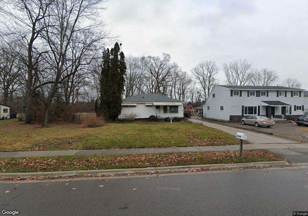
19660 Brentwood St Livonia, MI 48152
Estimated Value: $169,000 - $186,590
--
Bed
1
Bath
864
Sq Ft
$203/Sq Ft
Est. Value
About This Home
This home is located at 19660 Brentwood St, Livonia, MI 48152 and is currently estimated at $175,648, approximately $203 per square foot. 19660 Brentwood St is a home located in Wayne County with nearby schools including Clarenceville High School, David Ellis Academy West, and Grand River Academy.
Ownership History
Date
Name
Owned For
Owner Type
Purchase Details
Closed on
Feb 18, 2025
Sold by
Paschke David J
Bought by
David J Paschke Revocable Family Trust and Paschke
Current Estimated Value
Purchase Details
Closed on
Jan 23, 2025
Sold by
Dorothy M Paschke Trust and Robbins Ann Marie
Bought by
Paschke David J
Purchase Details
Closed on
Dec 3, 1990
Sold by
Paschke Elmer R and Paschke Dorothy M
Bought by
Dorothy M Paschke Trust and Paschke
Create a Home Valuation Report for This Property
The Home Valuation Report is an in-depth analysis detailing your home's value as well as a comparison with similar homes in the area
Home Values in the Area
Average Home Value in this Area
Purchase History
| Date | Buyer | Sale Price | Title Company |
|---|---|---|---|
| David J Paschke Revocable Family Trust | -- | None Listed On Document | |
| David J Paschke Revocable Family Trust | -- | None Listed On Document | |
| Paschke David J | $164,500 | Minnesota Title | |
| Dorothy M Paschke Trust | -- | None Listed On Document |
Source: Public Records
Tax History Compared to Growth
Tax History
| Year | Tax Paid | Tax Assessment Tax Assessment Total Assessment is a certain percentage of the fair market value that is determined by local assessors to be the total taxable value of land and additions on the property. | Land | Improvement |
|---|---|---|---|---|
| 2025 | $1,007 | $81,900 | $0 | $0 |
| 2024 | $1,007 | $75,200 | $0 | $0 |
| 2023 | $963 | $68,300 | $0 | $0 |
| 2022 | $1,600 | $58,600 | $0 | $0 |
| 2021 | $1,557 | $55,300 | $0 | $0 |
| 2019 | $1,517 | $51,000 | $0 | $0 |
| 2018 | $834 | $47,300 | $0 | $0 |
| 2017 | $1,255 | $43,600 | $0 | $0 |
| 2016 | $1,421 | $43,600 | $0 | $0 |
| 2015 | $3,739 | $41,320 | $0 | $0 |
| 2012 | -- | $41,040 | $23,380 | $17,660 |
Source: Public Records
Map
Nearby Homes
- 19499 Saint Francis St
- 19661 Antago St
- 20159 Deering St
- 20229 Floral St
- 27725 Norfolk St
- 20135 Saint Francis St
- 18884 Lathers St
- 19643 Inkster Rd
- 18913 Gillman St
- 19435 Inkster Rd
- 19424 Inkster Rd
- 20555 Angling St
- 27440 Fargo St
- 20577 Angling St
- 19701 Seminole
- 19169 Inkster Rd
- 19904 Seminole
- 29675 Nottingham Cir Unit 20
- 28418 W 8 Mile Rd Unit C1
- 28418 W 8 Mile Rd Unit A1
- 19674 Brentwood St
- 19636 Brentwood St
- 19694 Brentwood St
- 19655 Brentwood St
- 19675 Brentwood St
- 19720 Brentwood St
- 19629 Brentwood St
- 28385 Pembroke St
- 28369 Pembroke St
- 19193 Meadowridge Dr Unit 5
- 19730 Brentwood St
- 28355 Pembroke St
- 19693 Brentwood St
- 28515 Pembroke St
- 19605 Brentwood St
- 19568 Brentwood St
- 28343 Pembroke St
- 28525 Pembroke St
- 28331 Pembroke St
- 19185 Meadowridge Dr