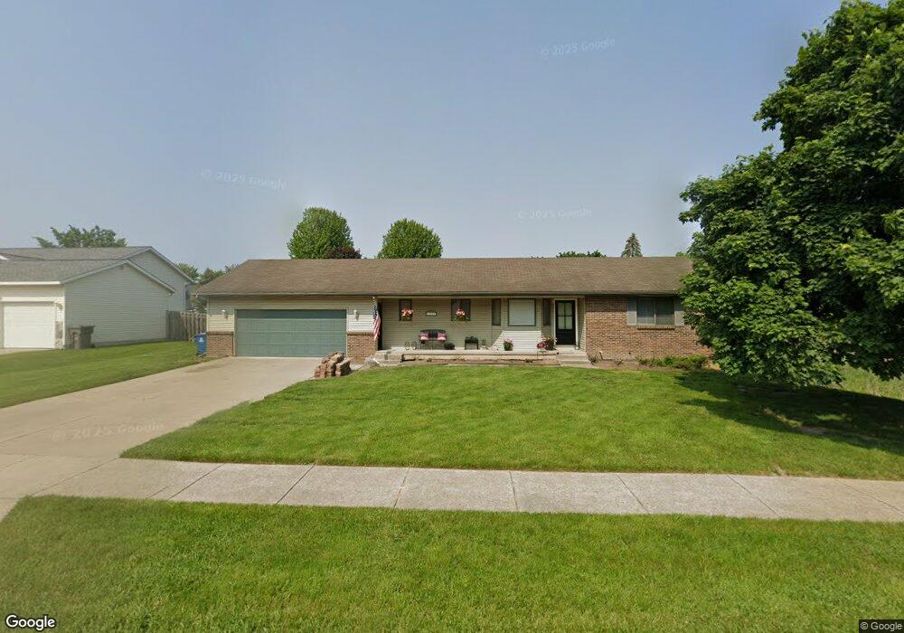
1967 Mullins Ave NW Grand Rapids, MI 49534
Estimated Value: $316,573 - $368,000
2
Beds
2
Baths
1,224
Sq Ft
$281/Sq Ft
Est. Value
About This Home
This home is located at 1967 Mullins Ave NW, Grand Rapids, MI 49534 and is currently estimated at $343,393, approximately $280 per square foot. 1967 Mullins Ave NW is a home located in Kent County with nearby schools including Kenowa Hills Central Elementary School, Kenowa Hills Middle School, and Kenowa Hills High School.
Ownership History
Date
Name
Owned For
Owner Type
Purchase Details
Closed on
Mar 18, 2024
Sold by
Ide Jordan P and Wolgamuth Rachel B
Bought by
Ide Jordan P and Ide Brianne
Current Estimated Value
Purchase Details
Closed on
Oct 20, 2023
Sold by
Ide Keith and Ide Elise
Bought by
Ide Keith
Purchase Details
Closed on
Aug 26, 2020
Sold by
Ide Elise
Bought by
Ide Keith and Ide Elise
Home Financials for this Owner
Home Financials are based on the most recent Mortgage that was taken out on this home.
Original Mortgage
$114,770
Interest Rate
2.71%
Mortgage Type
New Conventional
Purchase Details
Closed on
Jun 22, 1998
Sold by
Szost David E
Bought by
Anderson Christopher and Ide Elise
Purchase Details
Closed on
Jan 21, 1992
Bought by
Szost David E and Ide Elise
Create a Home Valuation Report for This Property
The Home Valuation Report is an in-depth analysis detailing your home's value as well as a comparison with similar homes in the area
Home Values in the Area
Average Home Value in this Area
Purchase History
| Date | Buyer | Sale Price | Title Company |
|---|---|---|---|
| Ide Jordan P | -- | None Listed On Document | |
| Ide Keith | -- | None Listed On Document | |
| Ide Keith | -- | Amrock Inc | |
| Anderson Christopher | $123,000 | -- | |
| Szost David E | $20,000 | -- |
Source: Public Records
Mortgage History
| Date | Status | Borrower | Loan Amount |
|---|---|---|---|
| Previous Owner | Ide Keith | $114,770 |
Source: Public Records
Tax History Compared to Growth
Tax History
| Year | Tax Paid | Tax Assessment Tax Assessment Total Assessment is a certain percentage of the fair market value that is determined by local assessors to be the total taxable value of land and additions on the property. | Land | Improvement |
|---|---|---|---|---|
| 2025 | $3,341 | $142,700 | $0 | $0 |
| 2024 | $3,341 | $122,400 | $0 | $0 |
| 2023 | $1,845 | $112,300 | $0 | $0 |
| 2022 | $1,985 | $104,000 | $0 | $0 |
| 2021 | $1,934 | $96,400 | $0 | $0 |
| 2020 | $1,697 | $91,700 | $0 | $0 |
| 2019 | $3,142 | $83,800 | $0 | $0 |
| 2018 | $1,835 | $78,000 | $0 | $0 |
| 2017 | $1,784 | $70,000 | $0 | $0 |
| 2016 | $1,688 | $66,500 | $0 | $0 |
| 2015 | $1,594 | $66,500 | $0 | $0 |
| 2013 | -- | $59,500 | $0 | $0 |
Source: Public Records
Map
Nearby Homes
- 3560 Richmond St NW
- 1781 Mullins Ave NW
- 3120 Richmond St NW
- 3080 Richmond St NW
- 1733 Whitmore Ave NW
- 1596 Geddes Ave NW
- 2140 Kinney Ave NW
- 1524 Stark Ave NW
- 2220 Elmridge Dr NW
- 1300 Lancaster Ave NW
- 1289 Lancaster Ave NW
- 2558 Meadow Ridge Dr
- 2549 Meadow Ridge Dr Unit 51
- 2716 Elmridge Dr NW
- 3405 3 Mile Rd NW
- 2551 Kinney Ave NW
- 2530 Westbrook Dr NW
- 2505 Longmeadow St NW
- 1302 Hillburn Ave NW
- 1270 Hillburn Ave NW Unit 35
- 1949 Mullins Ave NW
- 3442 Richmond St NW
- 1950 Ruthven Ave NW
- 1937 Mullins Ave NW
- 1976 Mullins Ave NW
- 1938 Ruthven Ave NW
- 1954 Mullins Ave NW
- 1942 Mullins Ave NW
- 1925 Mullins Ave NW
- 1926 Ruthven Ave NW
- 1957 Ruthven Ave NW
- 1969 Ruthven Ave NW
- 1930 Mullins Ave NW
- 1945 Ruthven Ave NW
- 1913 Mullins Ave NW
- 1914 Ruthven Ave NW
- 1933 Ruthven Ave NW
- 3358 Richmond St NW
- 1921 Ruthven Ave NW
- 1901 Mullins Ave NW