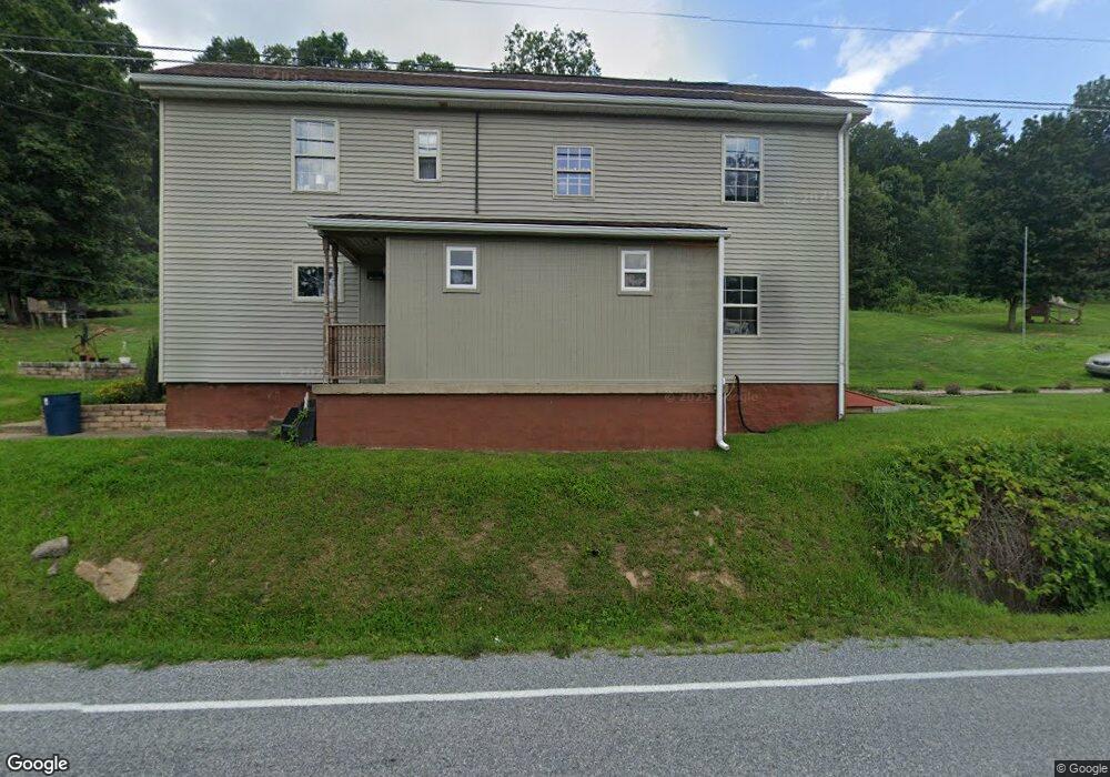
1967 Upper Rd Shamokin, PA 17872
Estimated Value: $119,851 - $178,000
Studio
--
Bath
--
Sq Ft
226,512
Sq Ft Lot
About This Home
This home is located at 1967 Upper Rd, Shamokin, PA 17872 and is currently estimated at $149,713. 1967 Upper Rd is a home located in Northumberland County with nearby schools including Line Mountain Elementary School, Line Mountain Middle School, and Line Mountain Junior/Senior High School.
Ownership History
Date
Name
Owned For
Owner Type
Purchase Details
Closed on
May 8, 2014
Sold by
Miller Kurt A
Bought by
Haupt Haupt and Long Michon K
Current Estimated Value
Home Financials for this Owner
Home Financials are based on the most recent Mortgage that was taken out on this home.
Original Mortgage
$76,095
Outstanding Balance
$58,145
Interest Rate
4.4%
Mortgage Type
FHA
Estimated Equity
$91,568
Purchase Details
Closed on
Aug 4, 2008
Sold by
Moroskie Barry T and Moroskie Stacey
Bought by
Miller Kurt A
Home Financials for this Owner
Home Financials are based on the most recent Mortgage that was taken out on this home.
Original Mortgage
$89,500
Interest Rate
6.49%
Mortgage Type
VA
Create a Home Valuation Report for This Property
The Home Valuation Report is an in-depth analysis detailing your home's value as well as a comparison with similar homes in the area
Purchase History
| Date | Buyer | Sale Price | Title Company |
|---|---|---|---|
| Haupt Haupt | $77,500 | None Available | |
| Miller Kurt A | $89,500 | None Available |
Source: Public Records
Mortgage History
| Date | Status | Borrower | Loan Amount |
|---|---|---|---|
| Open | Haupt Haupt | $76,095 | |
| Previous Owner | Miller Kurt A | $89,500 |
Source: Public Records
Tax History
| Year | Tax Paid | Tax Assessment Tax Assessment Total Assessment is a certain percentage of the fair market value that is determined by local assessors to be the total taxable value of land and additions on the property. | Land | Improvement |
|---|---|---|---|---|
| 2025 | $884 | $7,450 | $2,800 | $4,650 |
| 2024 | $847 | $7,450 | $2,800 | $4,650 |
| 2023 | $847 | $7,450 | $2,800 | $4,650 |
| 2022 | $847 | $7,450 | $2,800 | $4,650 |
| 2021 | $847 | $7,450 | $2,800 | $4,650 |
| 2020 | $847 | $7,450 | $2,800 | $4,650 |
| 2019 | $824 | $7,450 | $2,800 | $4,650 |
| 2018 | $806 | $7,450 | $2,800 | $4,650 |
| 2017 | $762 | $7,450 | $2,800 | $4,650 |
| 2016 | -- | $7,450 | $2,800 | $4,650 |
| 2015 | -- | $7,450 | $2,800 | $4,650 |
| 2014 | -- | $7,450 | $2,800 | $4,650 |
Source: Public Records
Map
Nearby Homes
- LOT# 3 Blacks Ln
- LOT#2 Blacks Ln
- 234 Trevorton Rd
- 576 E Shamokin St
- 377 Trevorton Rd
- 783 Trevorton Rd
- 100 W Shamokin St
- 223 E Market St
- 417 W Shamokin St
- 347 W Market St
- 444 W Market St
- 901 W Coal St
- 231 N 7th St
- 225 S 11th St
- 0 Hedge Ln
- 120 Dans Way
- 1714 W Pine St
- 1610 W Willow St
- 1839 Trevorton Rd
- 1728 W Walnut St
Your Personal Tour Guide
Ask me questions while you tour the home.