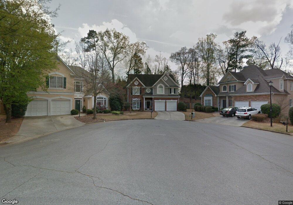
1967 Wellesley Trace Atlanta, GA 30338
Estimated Value: $655,281 - $752,000
3
Beds
3
Baths
2,477
Sq Ft
$286/Sq Ft
Est. Value
About This Home
This home is located at 1967 Wellesley Trace, Atlanta, GA 30338 and is currently estimated at $707,320, approximately $285 per square foot. 1967 Wellesley Trace is a home located in DeKalb County with nearby schools including Vanderlyn Elementary School, Peachtree Middle School, and Dunwoody High School.
Ownership History
Date
Name
Owned For
Owner Type
Purchase Details
Closed on
Apr 14, 2006
Sold by
Smith Elizabeth N
Bought by
Shah Jasmine and Shah Snehal
Current Estimated Value
Home Financials for this Owner
Home Financials are based on the most recent Mortgage that was taken out on this home.
Original Mortgage
$287,900
Outstanding Balance
$162,997
Interest Rate
6.2%
Mortgage Type
New Conventional
Estimated Equity
$544,323
Purchase Details
Closed on
Nov 12, 2004
Sold by
Bostic Beth
Bought by
Smith Elizabeth N
Home Financials for this Owner
Home Financials are based on the most recent Mortgage that was taken out on this home.
Original Mortgage
$239,000
Interest Rate
5.77%
Mortgage Type
New Conventional
Purchase Details
Closed on
Jul 25, 1997
Sold by
Mccar Dev Corp
Bought by
Bostic Beth
Create a Home Valuation Report for This Property
The Home Valuation Report is an in-depth analysis detailing your home's value as well as a comparison with similar homes in the area
Home Values in the Area
Average Home Value in this Area
Purchase History
| Date | Buyer | Sale Price | Title Company |
|---|---|---|---|
| Shah Jasmine | $359,900 | -- | |
| Smith Elizabeth N | $339,000 | -- | |
| Bostic Beth | $225,000 | -- |
Source: Public Records
Mortgage History
| Date | Status | Borrower | Loan Amount |
|---|---|---|---|
| Open | Shah Jasmine | $287,900 | |
| Closed | Shah Jasmine | $287,900 | |
| Previous Owner | Smith Elizabeth N | $239,000 |
Source: Public Records
Tax History Compared to Growth
Tax History
| Year | Tax Paid | Tax Assessment Tax Assessment Total Assessment is a certain percentage of the fair market value that is determined by local assessors to be the total taxable value of land and additions on the property. | Land | Improvement |
|---|---|---|---|---|
| 2025 | $6,169 | $238,160 | $54,000 | $184,160 |
| 2024 | $5,345 | $198,000 | $53,460 | $144,540 |
| 2023 | $5,345 | $198,000 | $53,460 | $144,540 |
| 2022 | $4,764 | $202,640 | $54,000 | $148,640 |
| 2021 | $4,865 | $179,440 | $54,000 | $125,440 |
| 2020 | $4,870 | $175,560 | $54,000 | $121,560 |
| 2019 | $4,504 | $162,680 | $54,000 | $108,680 |
| 2018 | $4,433 | $161,400 | $54,000 | $107,400 |
| 2017 | $4,694 | $148,080 | $40,120 | $107,960 |
| 2016 | $4,351 | $138,840 | $40,120 | $98,720 |
| 2014 | $4,366 | $135,920 | $40,000 | $95,920 |
Source: Public Records
Map
Nearby Homes
- 1983 Wellesley Trace
- 1971 Wellesley Trace
- 1933 Rotherham Way
- 5212 Falkirk Dr
- 5401 Seaton Way
- 5437 Oxford Chase Way
- 5417 Trentham Dr
- 5383 Trentham Dr
- 5427 Trentham Dr
- 5377 Trentham Dr
- 5436 Trentham Dr
- 1959 Clairborne Ct
- 1960 Clairborne Ct
- 5513 N Peachtree Rd
- 4101 Dunwoody Club Dr Unit 49
- 5318 Brooke Farm Dr
- 5231 Seaton Dr
- 1963 Wellesley Trace
- 1957 Wellesley Trace
- 1977 Wellesley Trace
- 5281 Oxford Chase Way Unit 1
- 2222 Vernon Oaks Way
- 5285 Oxford Chase Way
- 1951 Wellesley Trace
- 1893 Wellesley Trace
- 5289 Oxford Chase Way
- 2234 Vernon Oaks Way
- 1970 Wellesley Trace
- 0 Wellesley Trace Unit 8517861
- 0 Wellesley Trace Unit 8193988
- 0 Vernon Oaks Way
- 1989 Wellesley Trace
- 1945 Wellesley Trace
- 1984 Wellesley Trace
- 5295 Oxford Chase Way Unit 1
- 2246 Vernon Oaks Way
- 2221 Vernon Oaks Way