1967 Whitepath Rd Ellijay, GA 30540
Estimated Value: $346,000 - $488,381
2
Beds
1
Bath
1,012
Sq Ft
$404/Sq Ft
Est. Value
About This Home
This home is located at 1967 Whitepath Rd, Ellijay, GA 30540 and is currently estimated at $409,345, approximately $404 per square foot. 1967 Whitepath Rd is a home located in Gilmer County with nearby schools including Ellijay Elementary School, Clear Creek Elementary School, and Gilmer Middle School.
Ownership History
Date
Name
Owned For
Owner Type
Purchase Details
Closed on
Dec 16, 2020
Sold by
Thurman William Jackson
Bought by
Thurman William J and Thurman Sandra P
Current Estimated Value
Purchase Details
Closed on
Mar 14, 2011
Sold by
Thurman William Jack and Thurman Eugene H
Bought by
Thurman Harol Jack
Purchase Details
Closed on
Feb 18, 2011
Sold by
Thurman Harold Eugene
Bought by
Bymaster Richard and Bymaster Jessica
Create a Home Valuation Report for This Property
The Home Valuation Report is an in-depth analysis detailing your home's value as well as a comparison with similar homes in the area
Home Values in the Area
Average Home Value in this Area
Purchase History
| Date | Buyer | Sale Price | Title Company |
|---|---|---|---|
| Thurman William J | -- | -- | |
| Thurman Harol Jack | -- | -- | |
| Thurman William Jack | -- | -- | |
| Bymaster Richard | $100,000 | -- |
Source: Public Records
Tax History Compared to Growth
Tax History
| Year | Tax Paid | Tax Assessment Tax Assessment Total Assessment is a certain percentage of the fair market value that is determined by local assessors to be the total taxable value of land and additions on the property. | Land | Improvement |
|---|---|---|---|---|
| 2025 | $266 | $189,376 | $145,440 | $43,936 |
| 2024 | $266 | $154,576 | $110,800 | $43,776 |
| 2023 | $876 | $154,576 | $110,800 | $43,776 |
| 2022 | $931 | $139,896 | $100,720 | $39,176 |
| 2021 | $996 | $147,056 | $116,080 | $30,976 |
| 2020 | $970 | $141,904 | $116,080 | $25,824 |
| 2019 | $985 | $141,904 | $116,080 | $25,824 |
| 2018 | $985 | $139,544 | $113,720 | $25,824 |
| 2017 | $604 | $121,704 | $113,720 | $7,984 |
| 2016 | $603 | $121,704 | $113,720 | $7,984 |
| 2015 | $554 | $101,040 | $95,400 | $5,640 |
| 2014 | $562 | $93,400 | $87,840 | $5,560 |
| 2013 | -- | $101,440 | $95,880 | $5,560 |
Source: Public Records
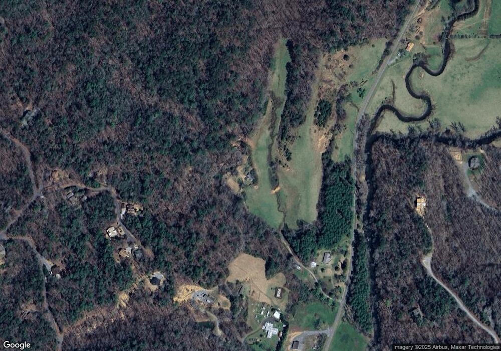
Map
Nearby Homes
- 0 Whitepath Rd Unit 10642608
- 0 Whitepath Rd Unit 420241
- 0 Whitepath Rd Unit 7680613
- 0 Whitepath Rd Unit 1
- 0 Whitepath Rd Unit 2
- 0 Whitepath Rd Unit 10642597
- 78 Pocola Ct
- 454, 455 Seneca Dr
- 0 Seneca Dr Unit 10497887
- 200 Lookiba Ln
- Lot 272 Seneca Dr
- 112 Seneca Dr
- 445 Apache Ct
- 153AC Whitepath Rd
- 152AC Whitepath Rd
- LOT 508 Chicasaw Dr
- 804 Pocaset Dr
- 382 Pocaset
- 228 Toccoa Ct
- Lot 235 Toccoa Ct
- 125 Oleta Ct
- 1969 Whitepath Rd
- Lt15 River Escape
- 1841 Whitepath Rd
- 168 Oleta Ct
- LT123 Buckhorn Estates
- 158 Oleta Ct
- 93 Oleta Ct
- 1837 Whitepath Rd
- 134 Oleta Ct
- L 127 Oleta Ct
- L-121 Oleta Ct
- 122 Oleta Ct
- 1915 Whitepath Rd
- 10 River Escape Trail
- LT 5 River Escape
- 0 Oleta Ct Unit 268931
- 0 Oleta Ct Unit LOT 127 7149576
- 60 Oleta Ct
- 0 Whitepath Rd Unit 8048493