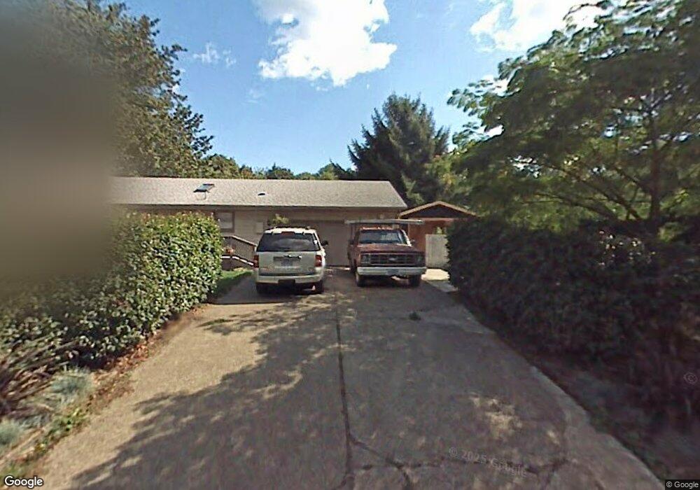
19670 SW Bolds Way West Linn, OR 97068
Stafford NeighborhoodEstimated Value: $513,880 - $880,000
3
Beds
2
Baths
1,456
Sq Ft
$434/Sq Ft
Est. Value
About This Home
This home is located at 19670 SW Bolds Way, West Linn, OR 97068 and is currently estimated at $631,470, approximately $433 per square foot. 19670 SW Bolds Way is a home located in Clackamas County with nearby schools including Stafford Primary School, West Linn High School, and Three Rivers Charter School.
Ownership History
Date
Name
Owned For
Owner Type
Purchase Details
Closed on
Sep 23, 2002
Sold by
Thompson Roy and Thompson Tracy Lou
Bought by
Thompson Roy and Thompson Tracy Lou
Current Estimated Value
Home Financials for this Owner
Home Financials are based on the most recent Mortgage that was taken out on this home.
Original Mortgage
$124,000
Interest Rate
6.16%
Purchase Details
Closed on
Jul 15, 1996
Sold by
Alas Rolando O and Hunt Angela J
Bought by
Thompson Roy and Burney Tracy Lou
Home Financials for this Owner
Home Financials are based on the most recent Mortgage that was taken out on this home.
Original Mortgage
$131,084
Interest Rate
8.3%
Mortgage Type
FHA
Create a Home Valuation Report for This Property
The Home Valuation Report is an in-depth analysis detailing your home's value as well as a comparison with similar homes in the area
Home Values in the Area
Average Home Value in this Area
Purchase History
| Date | Buyer | Sale Price | Title Company |
|---|---|---|---|
| Thompson Roy | -- | First American Title Ins Co | |
| Thompson Roy | $132,500 | Fidelity National Title Co |
Source: Public Records
Mortgage History
| Date | Status | Borrower | Loan Amount |
|---|---|---|---|
| Closed | Thompson Roy | $124,000 | |
| Closed | Thompson Roy | $131,084 |
Source: Public Records
Tax History Compared to Growth
Tax History
| Year | Tax Paid | Tax Assessment Tax Assessment Total Assessment is a certain percentage of the fair market value that is determined by local assessors to be the total taxable value of land and additions on the property. | Land | Improvement |
|---|---|---|---|---|
| 2025 | $4,313 | $248,785 | -- | -- |
| 2024 | $4,151 | $241,539 | -- | -- |
| 2023 | $4,151 | $234,504 | $0 | $0 |
| 2022 | $3,911 | $227,674 | $0 | $0 |
| 2021 | $3,701 | $221,043 | $0 | $0 |
| 2020 | $3,727 | $214,605 | $0 | $0 |
| 2019 | $3,556 | $208,355 | $0 | $0 |
| 2018 | $3,386 | $202,286 | $0 | $0 |
| 2017 | $3,260 | $196,394 | $0 | $0 |
| 2016 | $3,176 | $190,674 | $0 | $0 |
| 2015 | $3,006 | $185,120 | $0 | $0 |
| 2014 | $2,822 | $179,728 | $0 | $0 |
Source: Public Records
Map
Nearby Homes
- 1550 SW Shadow Wood Dr
- 1550 Shadow Wood Dr
- 3140 SW Childs Rd
- 541 SW Ashdown Cir
- 18815 Hilltop Rd
- 19229 35th Place
- 12 Dover Way
- 17958 Saint Clair Dr
- 3777 Rivers Edge Dr
- 451 S Wilda Rd
- 0 S Sweetbriar Rd Unit 23219494
- 2306 Mayors Ln
- 17901 Hillside Dr
- 6 Westminster Dr
- 3990 SW Borland Rd
- 1849 Cloverleaf Rd
- 4123 Chad Dr
- 4201 Childs Rd
- 18706 Bryant Rd
- 17349 Banyan Ln
- 1595 Shadow Wood Dr
- 0 SW Bolds Way Unit 8048789
- 0 SW Bolds Way Unit 22310942
- 0 SW Bolds Way
- 19650 SW Bolds Way
- 19730 SW Bolds Way
- 1585 Shadow Wood Dr
- 1625 Shadow Wood Dr
- 0 NW Bolds Way
- 19675 SW Bolds Way
- 1125 SW Royal Dr
- 19651 SW Bolds Way
- 1600 Shadow Wood Dr
- 1580 Shadow Wood Dr
- 1565 Shadow Wood Dr
- 19725 SW Bolds Way
- 1651 Shadow Wood Dr
- 19640 SW Bolds Way
- 1661 SW Royal Dr
- 1661 SW Royal Dr