19675 Jamestown Rd Breese, IL 62230
Estimated Value: $176,000 - $829,000
--
Bed
1
Bath
2,328
Sq Ft
$195/Sq Ft
Est. Value
About This Home
This home is located at 19675 Jamestown Rd, Breese, IL 62230 and is currently estimated at $453,164, approximately $194 per square foot. 19675 Jamestown Rd is a home located in Clinton County with nearby schools including St Rose Elementary School and Central Community High School.
Ownership History
Date
Name
Owned For
Owner Type
Purchase Details
Closed on
Mar 22, 2005
Sold by
Trame Donna L
Bought by
Henrichs Roger J and Henrichs Lorraine C
Current Estimated Value
Home Financials for this Owner
Home Financials are based on the most recent Mortgage that was taken out on this home.
Original Mortgage
$424,700
Interest Rate
6.1%
Mortgage Type
Future Advance Clause Open End Mortgage
Create a Home Valuation Report for This Property
The Home Valuation Report is an in-depth analysis detailing your home's value as well as a comparison with similar homes in the area
Home Values in the Area
Average Home Value in this Area
Purchase History
| Date | Buyer | Sale Price | Title Company |
|---|---|---|---|
| Henrichs Roger J | $428,500 | None Available |
Source: Public Records
Mortgage History
| Date | Status | Borrower | Loan Amount |
|---|---|---|---|
| Closed | Henrichs Roger J | $424,700 |
Source: Public Records
Tax History Compared to Growth
Tax History
| Year | Tax Paid | Tax Assessment Tax Assessment Total Assessment is a certain percentage of the fair market value that is determined by local assessors to be the total taxable value of land and additions on the property. | Land | Improvement |
|---|---|---|---|---|
| 2024 | $5,692 | $118,200 | $24,020 | $94,180 |
| 2023 | $5,692 | $106,960 | $21,340 | $85,620 |
| 2022 | $5,666 | $105,850 | $21,040 | $84,810 |
| 2021 | $6,122 | $98,170 | $18,910 | $79,260 |
| 2020 | $5,533 | $91,820 | $17,050 | $74,770 |
| 2019 | $5,543 | $90,634 | $15,864 | $74,770 |
| 2018 | $5,641 | $87,162 | $13,792 | $73,370 |
| 2017 | $5,695 | $86,187 | $12,817 | $73,370 |
| 2016 | $5,591 | $85,339 | $11,969 | $73,370 |
| 2015 | $5,756 | $84,534 | $11,164 | $73,370 |
| 2013 | $5,756 | $87,058 | $10,228 | $76,830 |
Source: Public Records
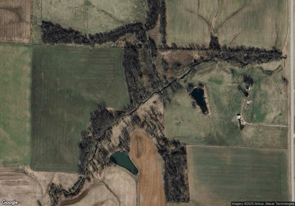
Map
Nearby Homes
- 17811 East St
- 22809 Saint Rose Rd
- 4 Hill Valley Dr
- 10675 Buckingham Ct
- 13964 Best One Dr
- 13898 Lincoln Dr
- 000 Hug Cemetery Rd
- 13613 Alpine Way
- 13636 Alpine Way
- 13642 Saint Rose Rd
- 923 N 6th St
- 325 N Walnut St
- 290 N Elm St
- 1031 N 1st St
- 126 Jefferson Dr
- 12740 Iberg Rd
- 429 S 6th St
- 620 S 6th St
- 24 Lori Ann Ct
- 255 Regency Ct
- 19808 Jamestown Rd
- 19101 Jamestown Rd
- 19900 Jamestown Rd
- 19816 Jamestown Rd
- 19820 Jamestown Rd
- 19824 Jamestown Rd
- 19424 Ellwood Rd
- 10010 Goodings Ford Rd
- 19502 Jamestown Rd
- 18909 Jamestown Rd
- 18925 Rosewood Ln
- 10110 Goodings Ford Rd
- 10102 Goodings Ford Rd
- 18909 Rosewood Ln
- 20194 Jamestown Rd
- 10207 Goodings Ford Rd
- 20227 Jamestown Rd
- 18855 Rosewood Ln
- 18808 Jamestown Rd
- 20220 Jamestown Rd