19679 S 221st East Ave Haskell, OK 74436
Estimated Value: $327,707 - $398,000
--
Bed
1
Bath
1,989
Sq Ft
$182/Sq Ft
Est. Value
About This Home
This home is located at 19679 S 221st East Ave, Haskell, OK 74436 and is currently estimated at $362,854, approximately $182 per square foot. 19679 S 221st East Ave is a home located in Wagoner County with nearby schools including Mary White Elementary School, Haskell Middle School, and Haskell High School.
Ownership History
Date
Name
Owned For
Owner Type
Purchase Details
Closed on
May 9, 2014
Sold by
Mullen Terry W
Bought by
Mullen Terry W and Mullen Susan G
Current Estimated Value
Purchase Details
Closed on
Oct 24, 2001
Sold by
Brown Brown J and Brown Connie R
Bought by
Mullen Terry W and Mullen Susan G
Purchase Details
Closed on
Jun 15, 1999
Sold by
Lohman Pat
Purchase Details
Closed on
Oct 26, 1994
Sold by
Davito Richard W and Davito Gloria
Purchase Details
Closed on
Oct 23, 1992
Sold by
Davito R W
Create a Home Valuation Report for This Property
The Home Valuation Report is an in-depth analysis detailing your home's value as well as a comparison with similar homes in the area
Home Values in the Area
Average Home Value in this Area
Purchase History
| Date | Buyer | Sale Price | Title Company |
|---|---|---|---|
| Mullen Terry W | -- | Titleone Llc | |
| Mullen Terry W | $105,000 | -- | |
| -- | $15,000 | -- | |
| -- | -- | -- | |
| -- | -- | -- |
Source: Public Records
Tax History Compared to Growth
Tax History
| Year | Tax Paid | Tax Assessment Tax Assessment Total Assessment is a certain percentage of the fair market value that is determined by local assessors to be the total taxable value of land and additions on the property. | Land | Improvement |
|---|---|---|---|---|
| 2025 | $1,287 | $15,700 | $3,632 | $12,068 |
| 2024 | $1,287 | $15,242 | $3,526 | $11,716 |
| 2023 | $1,247 | $14,798 | $3,365 | $11,433 |
| 2022 | $1,311 | $14,368 | $3,192 | $11,176 |
| 2021 | $1,324 | $13,949 | $2,999 | $10,950 |
| 2020 | $1,301 | $13,543 | $2,805 | $10,738 |
| 2019 | $1,237 | $13,149 | $2,627 | $10,522 |
| 2018 | $1,213 | $12,766 | $2,471 | $10,295 |
| 2017 | $1,163 | $12,394 | $2,351 | $10,043 |
| 2016 | $1,060 | $12,033 | $2,240 | $9,793 |
| 2015 | $1,037 | $11,683 | $2,240 | $9,443 |
| 2014 | $1,008 | $11,342 | $2,240 | $9,102 |
Source: Public Records
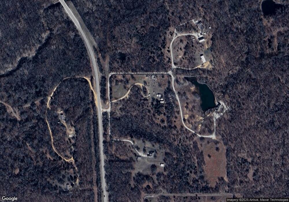
Map
Nearby Homes
- 19300 U S Highway 64
- 0 S 221st East Ave
- 19018 Us Highway 64
- 18925 S 205th St S
- 0000 Bakers Rd
- 27000 E 201st St S
- 21301 E 201st St S
- 25888 E 191st St S
- 19923 W 80th St N
- 16602 S 203rd East Ave
- 224 Duncan Rd
- 17304 E 176th St S
- 17331 E 174th St S
- 23574 E 161st St S
- 17402 E 176th St S
- 16610 S 185th East Ave
- 20861 E 161st St S
- 0 W Duncan Road Haskell Ok Rd
- 17440 E 165th St S
- 212 N Cattle Dr
- 22174 E 198th St S
- 19873 S 219th East Ave
- 19909 Us Highway 64
- 20008 S 219th East Ave
- 19307 E 186th East Ave
- 22083 E 201st St S
- 20039 Us Highway 64
- 20123 Us Highway 64
- 19327 Us Highway 64
- 65A Rr 2
- 80A Rr 2
- 70 Rr 2
- 82A Rr 2
- 68 Rr 2
- 19300 Us Highway 64
- 21649 E 201st St S
- 19225 Us Highway 64
- 20196 S 221st East Ave
- 20172 Us Highway 64
- 22074 E 191st St S