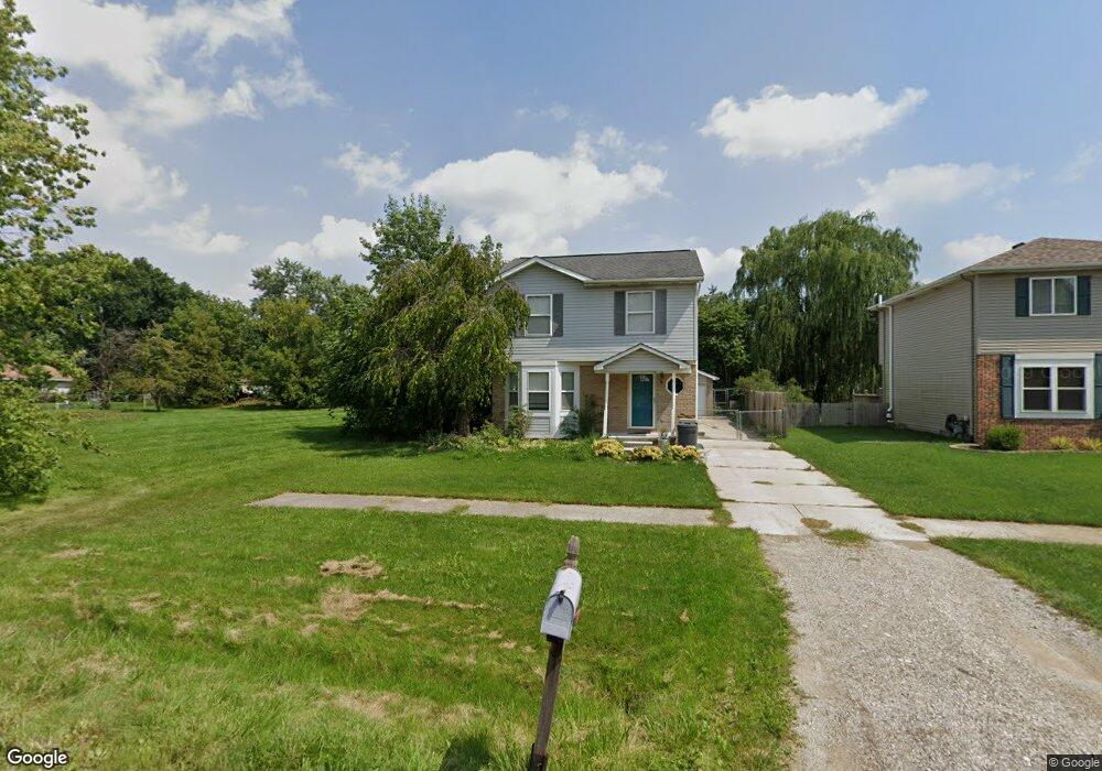
1968 Brookline St Unit Bldg-Unit Canton, MI 48187
Estimated Value: $322,000 - $334,000
--
Bed
2
Baths
1,366
Sq Ft
$239/Sq Ft
Est. Value
About This Home
This home is located at 1968 Brookline St Unit Bldg-Unit, Canton, MI 48187 and is currently estimated at $326,037, approximately $238 per square foot. 1968 Brookline St Unit Bldg-Unit is a home located in Wayne County with nearby schools including Canton High School, Discovery Middle School, and Salem High School.
Ownership History
Date
Name
Owned For
Owner Type
Purchase Details
Closed on
Sep 13, 2024
Sold by
Mccormick Colleen and Samaha Alan
Bought by
Khodabakhsh Marziyeh and Abavisani Ali
Current Estimated Value
Purchase Details
Closed on
Mar 5, 2021
Sold by
Mccormick Colleen Nicole and Mccormick Colleen
Bought by
Mccormick Colleen and Samaha Alan
Home Financials for this Owner
Home Financials are based on the most recent Mortgage that was taken out on this home.
Original Mortgage
$190,000
Interest Rate
2.7%
Mortgage Type
New Conventional
Purchase Details
Closed on
Feb 12, 2018
Sold by
Madden Teresa Chandra
Bought by
Mccormick Colleen Nicole
Purchase Details
Closed on
Aug 3, 2012
Sold by
Berent Michael Frank
Bought by
Madden Teresa Chandra
Create a Home Valuation Report for This Property
The Home Valuation Report is an in-depth analysis detailing your home's value as well as a comparison with similar homes in the area
Home Values in the Area
Average Home Value in this Area
Purchase History
| Date | Buyer | Sale Price | Title Company |
|---|---|---|---|
| Khodabakhsh Marziyeh | $310,000 | None Listed On Document | |
| Khodabakhsh Marziyeh | $310,000 | None Listed On Document | |
| Mccormick Colleen | -- | None Available | |
| Mccormick Colleen Nicole | $199,900 | None Available | |
| Madden Teresa Chandra | -- | None Available |
Source: Public Records
Mortgage History
| Date | Status | Borrower | Loan Amount |
|---|---|---|---|
| Previous Owner | Mccormick Colleen | $190,000 |
Source: Public Records
Tax History Compared to Growth
Tax History
| Year | Tax Paid | Tax Assessment Tax Assessment Total Assessment is a certain percentage of the fair market value that is determined by local assessors to be the total taxable value of land and additions on the property. | Land | Improvement |
|---|---|---|---|---|
| 2025 | $1,981 | $137,000 | $0 | $0 |
| 2024 | $1,981 | $135,700 | $0 | $0 |
| 2023 | $1,888 | $119,800 | $0 | $0 |
| 2022 | $4,152 | $106,400 | $0 | $0 |
| 2021 | $4,028 | $100,000 | $0 | $0 |
| 2020 | $3,977 | $98,500 | $0 | $0 |
| 2019 | $3,907 | $93,310 | $0 | $0 |
| 2018 | $1,236 | $89,420 | $0 | $0 |
| 2017 | $3,147 | $88,400 | $0 | $0 |
| 2016 | $2,771 | $84,200 | $0 | $0 |
| 2015 | $6,789 | $79,160 | $0 | $0 |
| 2013 | $6,577 | $70,380 | $0 | $0 |
| 2010 | -- | $76,410 | $17,886 | $58,524 |
Source: Public Records
Map
Nearby Homes
- 1822 N Sheldon Rd
- 58560 Stuart Dr
- 1796 Oakview Dr
- 44497 Savery Dr Unit 103
- 1945 W Franklin Dr Unit 13
- 1710 Longfellow Dr
- 5887 Northford
- 1625 Longfellow Dr
- 6011 Beaufort Dr
- 1322 Saltz Ct
- 43706 Westminister Way
- 43625 Westminister Way
- 6171 Gloucester Dr
- 44585 Nantucket Dr
- 44150 Duchess Dr
- 43530 Westminister Way
- 1494 Ranier Blvd
- 43764 Hanford Rd
- 44737 Fair Oaks Dr
- 835 Coldrose Way
- 1968 Brookline St
- 1960 Brookline St
- 1944 Brookline St
- 1943 Elmhurst St
- 1943 Elmhurst St
- 2028 Brookline St
- 2028 Brookline St
- 2028 Brookline St
- 2028 Brookline St
- 1977 Elmhurst St
- 1977 Elmhurst St
- 1920 Brookline St
- 1929 Elmhurst St
- 1957 Brookline St
- 5960 Braemore Dr
- 5892 Braemore Dr
- 5816 Braemore Dr
- 5960 Braemore Dr
- 5892 Braemore Dr
- 5858 Braemore Dr