1968 Coopers Landing Quincy, MI 49082
Estimated Value: $359,810 - $472,000
--
Bed
1
Bath
2,086
Sq Ft
$200/Sq Ft
Est. Value
About This Home
This home is located at 1968 Coopers Landing, Quincy, MI 49082 and is currently estimated at $417,453, approximately $200 per square foot. 1968 Coopers Landing is a home located in Hillsdale County with nearby schools including Reynolds Elementary School and Reading High School.
Ownership History
Date
Name
Owned For
Owner Type
Purchase Details
Closed on
Jul 23, 2020
Sold by
Church John E and Church Verna M
Bought by
Bretz Gregory and Bretz Beth
Current Estimated Value
Home Financials for this Owner
Home Financials are based on the most recent Mortgage that was taken out on this home.
Original Mortgage
$225,600
Outstanding Balance
$200,418
Interest Rate
3.2%
Mortgage Type
New Conventional
Estimated Equity
$217,035
Purchase Details
Closed on
Mar 21, 2008
Sold by
Tolles Gary J and Tolles Lori A
Bought by
Church John E and Church Verna M
Purchase Details
Closed on
Oct 1, 2007
Sold by
Chesney Carol L
Bought by
Tolles Gary J and Tolles Lori A
Home Financials for this Owner
Home Financials are based on the most recent Mortgage that was taken out on this home.
Original Mortgage
$149,400
Interest Rate
6.55%
Mortgage Type
Unknown
Create a Home Valuation Report for This Property
The Home Valuation Report is an in-depth analysis detailing your home's value as well as a comparison with similar homes in the area
Home Values in the Area
Average Home Value in this Area
Purchase History
| Date | Buyer | Sale Price | Title Company |
|---|---|---|---|
| Bretz Gregory | $282,000 | Public Title Company | |
| Church John E | $137,500 | First American Title Ins | |
| Tolles Gary J | $166,000 | None Available |
Source: Public Records
Mortgage History
| Date | Status | Borrower | Loan Amount |
|---|---|---|---|
| Open | Bretz Gregory | $225,600 | |
| Previous Owner | Tolles Gary J | $149,400 |
Source: Public Records
Tax History Compared to Growth
Tax History
| Year | Tax Paid | Tax Assessment Tax Assessment Total Assessment is a certain percentage of the fair market value that is determined by local assessors to be the total taxable value of land and additions on the property. | Land | Improvement |
|---|---|---|---|---|
| 2025 | $4,692 | $152,800 | $0 | $0 |
| 2024 | $1,186 | $155,300 | $0 | $0 |
| 2023 | $1,130 | $142,400 | $0 | $0 |
| 2022 | $4,331 | $118,000 | $0 | $0 |
| 2021 | $4,205 | $95,000 | $0 | $0 |
| 2020 | $1,807 | $66,000 | $0 | $0 |
| 2019 | $1,757 | $59,100 | $0 | $0 |
| 2018 | $1,690 | $48,300 | $0 | $0 |
| 2017 | $1,641 | $47,000 | $0 | $0 |
| 2016 | $1,627 | $40,000 | $0 | $0 |
| 2015 | $410 | $40,000 | $0 | $0 |
| 2013 | $398 | $36,950 | $0 | $0 |
| 2012 | $388 | $35,450 | $0 | $0 |
Source: Public Records
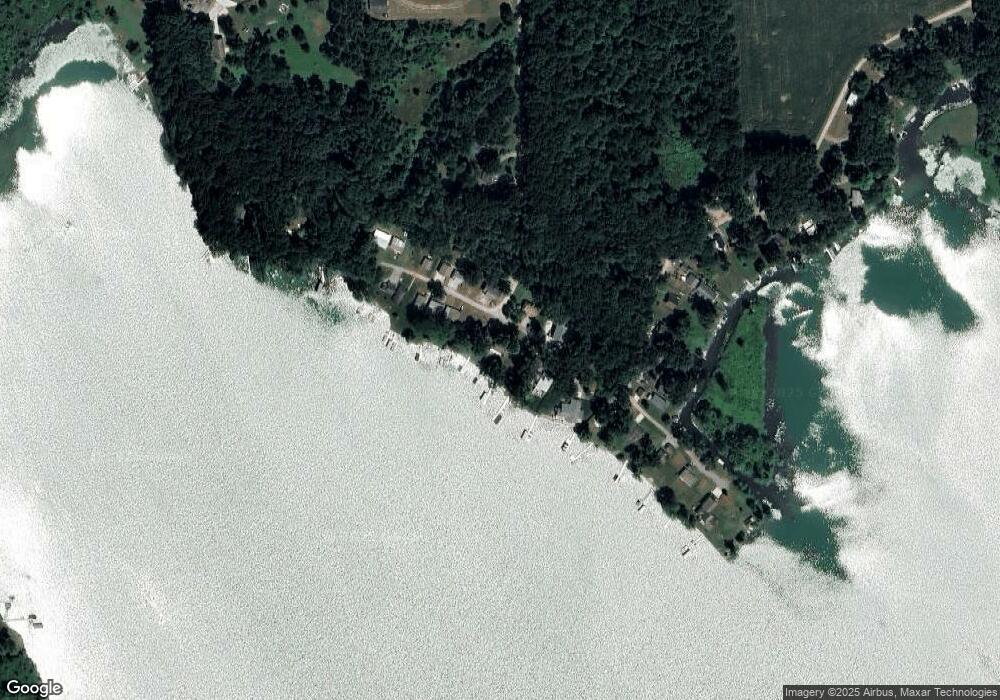
Map
Nearby Homes
- 2408 Spruce Dr
- 2251 Hemlock Rd
- 9921 Bankers Rd
- 1631 Pierce Rd
- 3870 Rus Dic Dr
- 4111 Blair Rd
- 238 Maple Rd
- 9500 Humphrey Rd
- 5160 Quackenbush Rd
- 5211 Long Lake Rd
- 5343 Beverly Dr
- 0 Wildwood Rd
- 1063 Fisher Rd
- 2520 S Sand Lake Rd
- 2201 S Sand Lake Rd
- 2651 S Sand Lake Rd
- 112 E State St
- 4251 Squires Rd
- 0 W Silver St Unit 25044322
- 211 S Ray Quincy Rd
- 1974 Coopers Landing
- 1968 Cooper Rd
- 1986 Cooper Rd
- 1986 Coopers Landing
- 1952 Cooper Rd
- 1962 Cooper Rd
- 1985 Cooper Rd
- 1973 Coopers Landing
- 0 Coopers Rd
- 1986 Cooper Rd
- 1963 Coopers Landing
- 1944 Coopers Landing
- 1952 Cooper Rd
- 1985 Cooper Rd
- 2000 Cooper Rd
- 1951 Coopers Landing
- 1932 Coopers Landing
- 1945 Coopers Landing
- 1938 Cooper Rd
- 1939 Coopers Landing