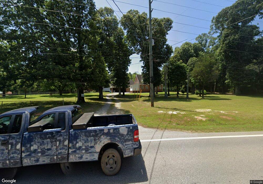
1968 Highway 16 E Jackson, GA 30233
Estimated Value: $297,223 - $355,000
Studio
2
Baths
2,726
Sq Ft
$121/Sq Ft
Est. Value
About This Home
This home is located at 1968 Highway 16 E, Jackson, GA 30233 and is currently estimated at $330,056, approximately $121 per square foot. 1968 Highway 16 E is a home located in Butts County with nearby schools including Jackson High School.
Ownership History
Date
Name
Owned For
Owner Type
Purchase Details
Closed on
Jul 9, 2019
Sold by
Browning Robert Wayne
Bought by
Mcgregor Adamar and Mcgregor Arnold J
Current Estimated Value
Home Financials for this Owner
Home Financials are based on the most recent Mortgage that was taken out on this home.
Original Mortgage
$119,225
Outstanding Balance
$103,776
Interest Rate
3.82%
Mortgage Type
New Conventional
Estimated Equity
$226,280
Purchase Details
Closed on
Apr 2, 2014
Sold by
Browning John Randall
Bought by
Browning Robert Wayne
Create a Home Valuation Report for This Property
The Home Valuation Report is an in-depth analysis detailing your home's value as well as a comparison with similar homes in the area
Home Values in the Area
Average Home Value in this Area
Purchase History
| Date | Buyer | Sale Price | Title Company |
|---|---|---|---|
| Mcgregor Adamar | $125,500 | -- | |
| Browning Robert Wayne | -- | -- |
Source: Public Records
Mortgage History
| Date | Status | Borrower | Loan Amount |
|---|---|---|---|
| Open | Mcgregor Adamar | $119,225 |
Source: Public Records
Tax History
| Year | Tax Paid | Tax Assessment Tax Assessment Total Assessment is a certain percentage of the fair market value that is determined by local assessors to be the total taxable value of land and additions on the property. | Land | Improvement |
|---|---|---|---|---|
| 2025 | $2,772 | $122,815 | $10,000 | $112,815 |
| 2024 | $2,772 | $122,815 | $10,000 | $112,815 |
| 2023 | $2,916 | $85,134 | $10,000 | $75,134 |
| 2022 | $1,709 | $64,993 | $7,200 | $57,793 |
| 2021 | $1,412 | $50,611 | $6,160 | $44,451 |
| 2020 | $1,366 | $47,284 | $6,160 | $41,124 |
| 2019 | $1,373 | $47,085 | $6,160 | $40,925 |
| 2018 | $1,253 | $41,189 | $6,160 | $35,029 |
| 2017 | $1,249 | $40,340 | $6,160 | $34,180 |
| 2016 | $1,282 | $40,340 | $6,160 | $34,180 |
| 2015 | $1,271 | $40,340 | $6,160 | $34,180 |
| 2014 | $931 | $38,240 | $6,160 | $32,080 |
Source: Public Records
Map
Nearby Homes
- 586 Higgins Rd
- 153 Highland Cir
- 176 Randall Ave
- 129 Higgins Rd
- 157 Watkins Rd
- 301 Giles Ferry Rd
- 87 Highway 87
- 139 Pineview Rd
- 395 Heard St
- 200 Douglas Creek Rd
- 300 Douglas Creek Rd
- 1516 Stark Rd
- 149 Woody Rd
- 1706 Stark Rd
- 1777 Stark Rd
- 124 Ward Rd
- 700 Georgia 87
- 0 Bakers Cir Hall Bridge Rd Unit 10699133
- 0 Highway 42 S Unit 10520658
- 1262 E Highway 16
- 1984 Highway 16 E
- 1967 Highway 16 E
- 1993 Highway 16
- 1922 Highway 16 E
- 115 Bob Thomas Rd
- 1931 Highway 16 E
- 0 Bob Thomas Rd Unit 7019659
- 0 Bob Thomas Rd Unit 7019647
- 1903 Highway 16 E
- 436 Higgins Rd
- 1896 E Highway 16 E
- 388 Higgins Rd
- 170 Dave Bailey Rd
- 290 Dave Bailey Rd
- 246 Bob Thomas Rd
- 193 Dave Bailey Rd
- 193 Dave Bailey Rd
- 476 Higgins Rd
- 1910 Higgins Rd SW
- 194 Dave Bailey Rd
Your Personal Tour Guide
Ask me questions while you tour the home.