1968 Park Ave W Ontario, OH 44906
Estimated Value: $172,209 - $219,000
2
Beds
1
Bath
936
Sq Ft
$203/Sq Ft
Est. Value
About This Home
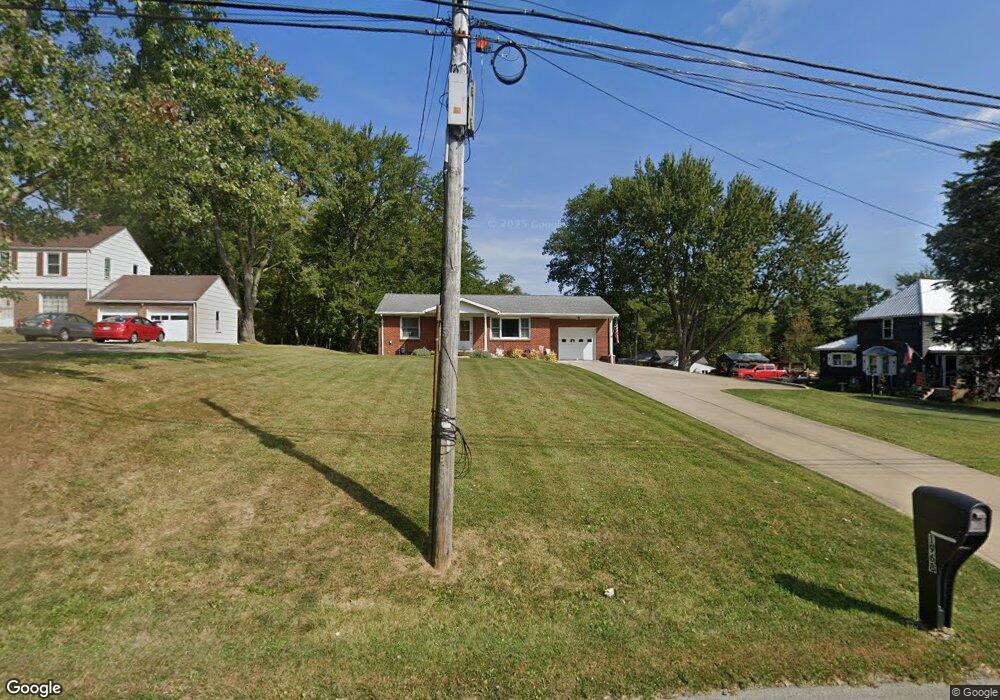
This home is located at 1968 Park Ave W, Ontario, OH 44906 and is currently estimated at $190,302, approximately $203 per square foot. 1968 Park Ave W is a home located in Richland County with nearby schools including Stingel Elementary School, Ontario Middle School, and Ontario High School.
Ownership History
Date
Name
Owned For
Owner Type
Purchase Details
Closed on
Apr 6, 2017
Sold by
Nothacker Victoria L
Bought by
Nothacker Victoria L and Nothacker Brent E
Current Estimated Value
Purchase Details
Closed on
Sep 6, 2010
Sold by
Robson Donald P
Bought by
Robson Donald P and Nothacker Victoria L
Purchase Details
Closed on
Dec 5, 2007
Sold by
Robson Sandra L
Bought by
Robson Sandra L and Robson Donald Preston
Create a Home Valuation Report for This Property
The Home Valuation Report is an in-depth analysis detailing your home's value as well as a comparison with similar homes in the area
Home Values in the Area
Average Home Value in this Area
Purchase History
| Date | Buyer | Sale Price | Title Company |
|---|---|---|---|
| Nothacker Victoria L | -- | Attorney | |
| Robson Donald P | -- | Attorney | |
| Robson Sandra L | -- | Attorney |
Source: Public Records
Tax History Compared to Growth
Tax History
| Year | Tax Paid | Tax Assessment Tax Assessment Total Assessment is a certain percentage of the fair market value that is determined by local assessors to be the total taxable value of land and additions on the property. | Land | Improvement |
|---|---|---|---|---|
| 2024 | $2,755 | $54,090 | $15,790 | $38,300 |
| 2023 | $2,755 | $54,090 | $15,790 | $38,300 |
| 2022 | $2,065 | $34,900 | $12,180 | $22,720 |
| 2021 | $2,069 | $34,900 | $12,180 | $22,720 |
| 2020 | $2,209 | $34,900 | $12,180 | $22,720 |
| 2019 | $2,069 | $29,590 | $10,330 | $19,260 |
| 2018 | $1,764 | $29,590 | $10,330 | $19,260 |
| 2017 | $1,777 | $29,590 | $10,330 | $19,260 |
| 2016 | $1,818 | $30,800 | $11,020 | $19,780 |
| 2015 | $1,818 | $30,800 | $11,020 | $19,780 |
| 2014 | $1,820 | $30,800 | $11,020 | $19,780 |
| 2012 | $855 | $31,750 | $11,360 | $20,390 |
Source: Public Records
Map
Nearby Homes
- 1996 Park Ave W
- 99 Scotland Blvd
- 175 Maple Ln
- 2281 Park Ave W
- 0 Millsboro Rd Unit 9067349
- 0 Millsboro Rd Unit 9066844
- 125 Hilltop Rd
- 230 Clare Rd
- 1431 Silver Ln
- 2585 Deerfield Ln
- 720 Lindaire Ln E
- 405 Maple Ln Unit 405 & 407
- 295 Meadowlark Dr
- 1496 W 4th St
- 1947 Teakwood Dr
- 2007 Teakwood Dr
- 2010 Teakwood Dr
- 204 Lasalle St
- 1915 Teakwood Dr Unit 1915
- 648 Villa Dr Unit 648
- 1978 Park Ave W
- 1958 Park Ave W
- 1960 Park Ave W
- 1952 Park Ave W
- 1986 Park Ave W
- 468 W Shore Dr
- 0 Flowers Rd
- 1942 Park Ave W
- 1936 Park Ave W Unit West
- 1936 Park Ave W
- 1926 Park Ave W
- 1914 Park Ave W
- 1964 Park Ave W
- 20 Sunset Rd
- 30 Sunset Rd
- 46 Sunset Rd
- 2031 Park Ave W
- 1892 Park Ave W
- 60 Sunset Rd
- 27 Sunset Rd N