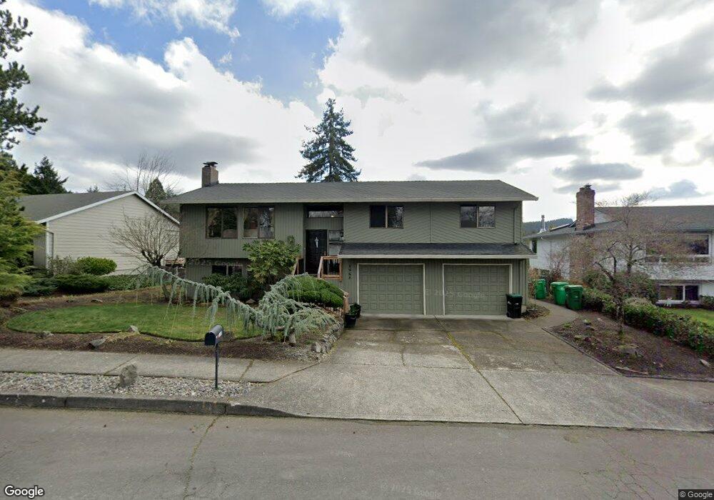
1968 SW 25th St Gresham, OR 97080
Southwest Gresham NeighborhoodEstimated Value: $512,000 - $534,698
About This Home
This home is located at 1968 SW 25th St, Gresham, OR 97080 and is currently estimated at $526,675, approximately $369 per square foot. 1968 SW 25th St is a home located in Multnomah County with nearby schools including Dexter McCarty Middle School, Gresham High School, and Portland Adventist Elementary School.
Ownership History
We collect this data history from publicly available records. To have your information removed, we recommend requesting removal directly through your county’s website.
Purchase Details
Purchase Details
Home Financials for this Owner
Home Financials are based on the most recent Mortgage that was taken out on this home.Home Values in the Area
Average Home Value in this Area
Purchase History
We collect this data history from publicly available records. To have your information removed, we recommend requesting removal directly through your county’s website.
| Date | Buyer | Sale Price | Title Company |
|---|---|---|---|
| -- | None Listed On Document | ||
| -- | Fidelity Natl Ttl Co Of Or |
Mortgage History
We collect this data history from publicly available records. To have your information removed, we recommend requesting removal directly through your county’s website.
| Date | Status | Borrower | Loan Amount |
|---|---|---|---|
| Previous Owner | $239,500 |
Tax History
We collect this data history from publicly available records. To have your information removed, we recommend requesting removal directly through your county’s website.
| Year | Tax Paid | Tax Assessment Tax Assessment Total Assessment is a certain percentage of the fair market value that is determined by local assessors to be the total taxable value of land and additions on the property. | Land | Improvement |
|---|---|---|---|---|
| 2025 | $6,491 | $318,990 | -- | -- |
| 2024 | $6,214 | $309,700 | -- | -- |
| 2023 | $5,661 | $300,680 | $0 | $0 |
| 2022 | $5,503 | $291,930 | $0 | $0 |
| 2021 | $5,364 | $283,430 | $0 | $0 |
| 2020 | $5,047 | $275,180 | $0 | $0 |
| 2019 | $4,915 | $267,170 | $0 | $0 |
| 2018 | $4,687 | $259,390 | $0 | $0 |
| 2017 | $4,496 | $251,840 | $0 | $0 |
| 2016 | $3,964 | $244,510 | $0 | $0 |
| 2015 | $3,879 | $237,390 | $0 | $0 |
| 2014 | $3,784 | $230,480 | $0 | $0 |
Map
- 2331 SW 27th Dr
- 2188 SW Binford Lake Pkwy
- 1944 SW 20th Ct
- 2650 SW 22nd Ct
- 2791 SW Myers Dr
- 1363 SW Binford Lake Pkwy
- 1278 SW 27th Ct
- 1261 SW Binford Lake Pkwy
- 1859 SW Angeline Ave
- 2068 SW 34th St
- 1320 SW 31st St
- 1721 SW Butler Rd
- 1333 SW 19th Dr
- 1488 SW 17th Ct
- 1488 SW 17th Ct Unit N
- 1479 SW Willowbrook Ct
- 3511 SW Eleven Mile Ave
- 3533 SW Eleven Mile Ave
- 3512 SW Battaglia Ave
- 3555 SW Eleven Mile Ave
- 1974 SW 25th St
- 1960 SW 25th St
- 1969 SW 26th Ct
- 1955 SW 26th Ct
- 2550 SW Wonderview Dr
- 1983 SW 26th Ct
- 1934 SW 25th St
- 1941 SW 26th Ct
- 1981 SW 25th St
- 1975 SW 25th St
- 2496 SW Wonderview Dr
- 2572 SW Wonderview Dr
- 1961 SW 25th St
- 1928 SW 25th St
- 1949 SW 25th St
- 2452 SW Wonderview Dr
- 1929 SW 26th Ct
- 1976 SW 26th Ct
- 1931 SW 25th St
- 1910 SW 25th St
Ask me questions while you tour the home.