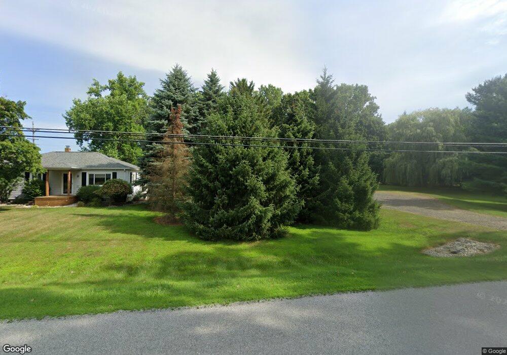
1968 W Taft Rd Saint Johns, MI 48879
Estimated Value: $220,727 - $280,000
3
Beds
2
Baths
1,976
Sq Ft
$124/Sq Ft
Est. Value
About This Home
This home is located at 1968 W Taft Rd, Saint Johns, MI 48879 and is currently estimated at $245,932, approximately $124 per square foot. 1968 W Taft Rd is a home located in Clinton County with nearby schools including St. Johns High School.
Ownership History
Date
Name
Owned For
Owner Type
Purchase Details
Closed on
Aug 30, 2023
Sold by
Sleep Andrew and Sleep Raye
Bought by
Bancroft Nathaniel Albert
Current Estimated Value
Purchase Details
Closed on
Oct 31, 2019
Sold by
Sleep Andrew
Bought by
Sleep Andrew and Sleep Raye Ann
Home Financials for this Owner
Home Financials are based on the most recent Mortgage that was taken out on this home.
Original Mortgage
$134,000
Interest Rate
3.6%
Mortgage Type
New Conventional
Purchase Details
Closed on
Sep 7, 2018
Sold by
Sleep Douglas E
Bought by
Sleep Andrew
Home Financials for this Owner
Home Financials are based on the most recent Mortgage that was taken out on this home.
Original Mortgage
$124,000
Interest Rate
4.5%
Mortgage Type
New Conventional
Purchase Details
Closed on
May 28, 2010
Sold by
Gilbert Gerald G
Bought by
Sleep Douglas E
Home Financials for this Owner
Home Financials are based on the most recent Mortgage that was taken out on this home.
Original Mortgage
$107,200
Interest Rate
5.13%
Mortgage Type
Future Advance Clause Open End Mortgage
Create a Home Valuation Report for This Property
The Home Valuation Report is an in-depth analysis detailing your home's value as well as a comparison with similar homes in the area
Home Values in the Area
Average Home Value in this Area
Purchase History
| Date | Buyer | Sale Price | Title Company |
|---|---|---|---|
| Bancroft Nathaniel Albert | $245,000 | None Listed On Document | |
| Sleep Andrew | -- | None Available | |
| Sleep Andrew | $155,000 | None Available | |
| Sleep Douglas E | $134,000 | None Available |
Source: Public Records
Mortgage History
| Date | Status | Borrower | Loan Amount |
|---|---|---|---|
| Previous Owner | Sleep Andrew | $134,000 | |
| Previous Owner | Sleep Andrew | $124,000 | |
| Previous Owner | Sleep Douglas E | $107,200 |
Source: Public Records
Tax History Compared to Growth
Tax History
| Year | Tax Paid | Tax Assessment Tax Assessment Total Assessment is a certain percentage of the fair market value that is determined by local assessors to be the total taxable value of land and additions on the property. | Land | Improvement |
|---|---|---|---|---|
| 2025 | -- | $91,300 | $20,300 | $71,000 |
| 2024 | $8 | $82,700 | $20,000 | $62,700 |
| 2023 | $723 | $75,300 | $0 | $0 |
| 2022 | $1,662 | $66,700 | $20,300 | $46,400 |
| 2021 | $1,595 | $61,000 | $16,800 | $44,200 |
| 2020 | $1,551 | $59,400 | $15,000 | $44,400 |
| 2019 | $1,440 | $54,500 | $11,500 | $43,000 |
| 2018 | $1,267 | $50,900 | $10,100 | $40,800 |
| 2017 | -- | $50,500 | $9,100 | $41,400 |
| 2016 | $1,227 | $50,400 | $9,100 | $41,300 |
| 2015 | -- | $48,000 | $0 | $0 |
| 2011 | -- | $52,200 | $0 | $0 |
Source: Public Records
Map
Nearby Homes
- 2327 W Taft Rd
- 1030 Woodridge Dr
- 1055 Summerfield Ln
- 3180 S Bus 127
- 2320 Secretariat Ln
- 2353 Winners Cir
- 2386 W Gallant Fox Way
- 6089 S Loomis Rd
- 1300 Superior Dr Unit 1
- 1396 Superior Dr Unit 28
- 1398 Superior Dr Unit 27
- 1467 Superior Dr Unit 18
- 1465 Superior Dr Unit 17
- 1275 Fieldstone Dr
- 700 E Townsend Rd
- 210 Hurd St
- 1004 Lincolnshire Dr
- 806 S Church St
- 410 W Baldwin St
- 1455 W Hyde Rd