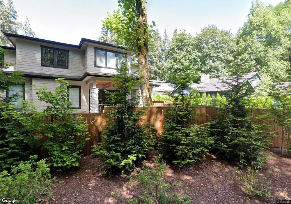
19680 Canal Rd Lake Oswego, OR 97035
Rosewood NeighborhoodEstimated Value: $1,545,000 - $1,650,000
6
Beds
4
Baths
3,900
Sq Ft
$409/Sq Ft
Est. Value
About This Home
This home is located at 19680 Canal Rd, Lake Oswego, OR 97035 and is currently estimated at $1,593,896, approximately $408 per square foot. 19680 Canal Rd is a home located in Clackamas County with nearby schools including River Grove Elementary School, Lakeridge Middle School, and Lakeridge High School.
Ownership History
Date
Name
Owned For
Owner Type
Purchase Details
Closed on
Oct 2, 2025
Sold by
Roll Christopher
Bought by
Roll Family Trust and Roll
Current Estimated Value
Purchase Details
Closed on
Jul 1, 2019
Sold by
Pacific Nw Investments Llc
Bought by
Roll Christopher
Home Financials for this Owner
Home Financials are based on the most recent Mortgage that was taken out on this home.
Original Mortgage
$764,557
Interest Rate
2.75%
Mortgage Type
Adjustable Rate Mortgage/ARM
Create a Home Valuation Report for This Property
The Home Valuation Report is an in-depth analysis detailing your home's value as well as a comparison with similar homes in the area
Home Values in the Area
Average Home Value in this Area
Purchase History
| Date | Buyer | Sale Price | Title Company |
|---|---|---|---|
| Roll Family Trust | -- | None Listed On Document | |
| Roll Christopher | $1,092,225 | Lawyers Title Of Oregon Llc |
Source: Public Records
Mortgage History
| Date | Status | Borrower | Loan Amount |
|---|---|---|---|
| Previous Owner | Roll Christopher | $764,557 |
Source: Public Records
Map
Nearby Homes
- 4550 Dogwood Dr
- 4055 Trout Way
- 4760 Dogwood Dr
- 4485 SW Joshua St
- 18863 Indian Springs Rd
- 4886 Sage Hen Cir
- 5120 SW Wichita St
- 19368 Riverwood Ln
- 4140 Melissa Dr
- 18978 Arrowwood Ave
- 19125 35th Place
- 4316 Albert Cir
- 4361 Albert Cir
- 4054 Canal Woods Ct
- 18679 Indian Creek Dr
- 19317 Lorna Ln
- 18434 Sandpiper Cir
- 19319 Dogwood Ct
- 4217 Albert Cir
- 19088 Barton Rd
- 4500 West Rd
- 19666 Canal Rd
- 4471 West Rd Unit Lot 4
- 4485 West Rd
- 19651 Canal Rd
- 4515 West Rd
- 4531 West Rd
- 4545 Dogwood Dr
- 19664 River Run Relisted Dr
- 19664 River Run Dr
- 19630 River Run Dr
- 4536 Dogwood Dr
- 17900 Canal Rd
- 19596 River Run Dr
- 4540 Dogwood Dr
- 4591 Dogwood Dr
- 19562 River Run Dr
- 19700 River Run Dr
- 19777 Sycamore Ave
- 19524 River Run Dr
Your Personal Tour Guide
Ask me questions while you tour the home.