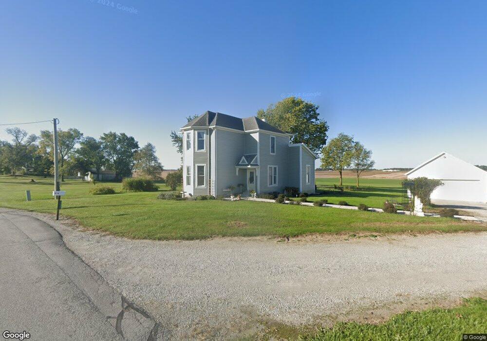
19681 Short Line Rd Wapakoneta, OH 45895
Estimated Value: $214,871 - $415,000
5
Beds
1
Bath
2,128
Sq Ft
$143/Sq Ft
Est. Value
About This Home
This home is located at 19681 Short Line Rd, Wapakoneta, OH 45895 and is currently estimated at $304,968, approximately $143 per square foot. 19681 Short Line Rd is a home located in Auglaize County with nearby schools including Wapakoneta Elementary School, Wapakoneta High School, and Wapakoneta Middle School.
Ownership History
Date
Name
Owned For
Owner Type
Purchase Details
Closed on
Mar 14, 1998
Sold by
Edmiston Vivian A
Bought by
Hemleben Thad
Current Estimated Value
Purchase Details
Closed on
Mar 11, 1994
Sold by
Edmiston Vivian A
Bought by
Edmiston Vivian A
Purchase Details
Closed on
Nov 18, 1993
Sold by
Birt David M
Bought by
Edmiston Vivian A
Purchase Details
Closed on
Nov 13, 1992
Sold by
Edmiston Vivian A
Bought by
Birt David M
Purchase Details
Closed on
Jul 9, 1992
Sold by
Kiser Alma M
Bought by
Edmiston Vivian A
Create a Home Valuation Report for This Property
The Home Valuation Report is an in-depth analysis detailing your home's value as well as a comparison with similar homes in the area
Home Values in the Area
Average Home Value in this Area
Purchase History
| Date | Buyer | Sale Price | Title Company |
|---|---|---|---|
| Hemleben Thad | $65,000 | -- | |
| Edmiston Vivian A | $47,500 | -- | |
| Edmiston Vivian A | -- | -- | |
| Birt David M | $62,500 | -- | |
| Edmiston Vivian A | -- | -- |
Source: Public Records
Tax History Compared to Growth
Tax History
| Year | Tax Paid | Tax Assessment Tax Assessment Total Assessment is a certain percentage of the fair market value that is determined by local assessors to be the total taxable value of land and additions on the property. | Land | Improvement |
|---|---|---|---|---|
| 2024 | $1,970 | $40,610 | $15,470 | $25,140 |
| 2023 | $1,333 | $40,610 | $15,470 | $25,140 |
| 2022 | $1,210 | $33,830 | $14,070 | $19,760 |
| 2021 | $1,190 | $33,830 | $14,070 | $19,760 |
| 2020 | $1,176 | $33,825 | $14,067 | $19,758 |
| 2019 | $1,030 | $28,533 | $11,820 | $16,713 |
| 2018 | $1,025 | $28,533 | $11,820 | $16,713 |
| 2017 | $1,018 | $28,533 | $11,820 | $16,713 |
| 2016 | $959 | $27,020 | $11,256 | $15,764 |
| 2015 | $962 | $27,020 | $11,256 | $15,764 |
| 2014 | $974 | $27,020 | $11,256 | $15,764 |
| 2013 | $1,002 | $27,020 | $11,256 | $15,764 |
Source: Public Records
Map
Nearby Homes
- 17054 State Route 198
- 22284 Ohio 198
- 1020 Timber Trail
- 7470 Fort Amanda Rd
- 1028 Stonegate Ct
- 920 Primrose Dr
- 924 Poppy Dr
- 311 Marcella Ln
- 17092 Hauss Rd
- 906 Aster Dr
- 808 Aster Dr
- 18609 County Road 25a
- 601 Warren St
- 310 W Main St
- 3650 Redbud Ln
- 0 Wapakoneta Cridersville Rd
- 322 Cole Dr
- 3523 Woodhaven Ln
- 3495 Woodhaven Ln
- 3680 Yoakam Rd
- 19595 Short Line Rd
- 12047 Ritchie Rd
- 12153 Ritchie Rd
- 19743 Short Line Rd
- 11792 Monroe Rd
- 12338 Ritchie Rd
- 11584 Monroe Rd
- 11513 Monroe Rd
- 12179 Buckland Holden Rd
- 12716 Ritchie Rd
- 12660 Ritchie Rd
- 12258 Buckland Holden Rd
- 12316 Buckland Holden Rd
- 12889 Ritchie Rd
- 12667 Buckland Holden Rd
- 19311 State Route 198
- 19614 State Route 198
- 19471 State Route 501