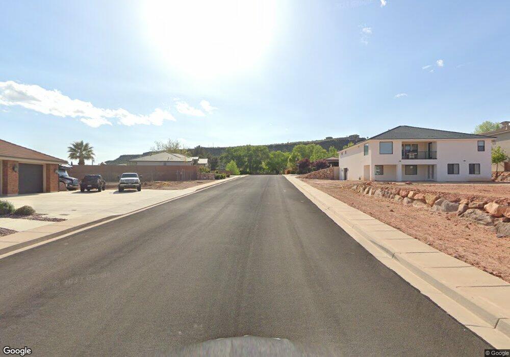
1969 E 1030 N St. George, UT 84770
Estimated Value: $350,000 - $418,000
3
Beds
2
Baths
1,094
Sq Ft
$342/Sq Ft
Est. Value
About This Home
This home is located at 1969 E 1030 N, St. George, UT 84770 and is currently estimated at $374,313, approximately $342 per square foot. 1969 E 1030 N is a home located in Washington County with nearby schools including Sandstone School, Pine View Middle School, and Fossil Ridge Intermediate School.
Ownership History
Date
Name
Owned For
Owner Type
Purchase Details
Closed on
Feb 18, 2022
Sold by
Chester Miller
Bought by
Chester Miller Revocable Living Trust
Current Estimated Value
Purchase Details
Closed on
Feb 15, 2022
Sold by
Chester Miller
Bought by
Chester Miller Revocable Living Trust
Purchase Details
Closed on
Jan 25, 2022
Sold by
Miller Chester W
Bought by
Miller Chester
Purchase Details
Closed on
Sep 27, 2010
Sold by
Cox D Todd D and Cox Heather M
Bought by
Miller Chester W and Miller Brandi L
Home Financials for this Owner
Home Financials are based on the most recent Mortgage that was taken out on this home.
Original Mortgage
$70,000
Interest Rate
4.35%
Mortgage Type
New Conventional
Create a Home Valuation Report for This Property
The Home Valuation Report is an in-depth analysis detailing your home's value as well as a comparison with similar homes in the area
Home Values in the Area
Average Home Value in this Area
Purchase History
| Date | Buyer | Sale Price | Title Company |
|---|---|---|---|
| Chester Miller Revocable Living Trust | -- | None Listed On Document | |
| Chester Miller Revocable Living Trust | -- | None Listed On Document | |
| Miller Chester | -- | Rampart Title | |
| Miller Chester W | -- | Dixie Title Co |
Source: Public Records
Mortgage History
| Date | Status | Borrower | Loan Amount |
|---|---|---|---|
| Previous Owner | Miller Chester W | $70,000 |
Source: Public Records
Tax History Compared to Growth
Tax History
| Year | Tax Paid | Tax Assessment Tax Assessment Total Assessment is a certain percentage of the fair market value that is determined by local assessors to be the total taxable value of land and additions on the property. | Land | Improvement |
|---|---|---|---|---|
| 2025 | $1,221 | $190,850 | $46,750 | $144,100 |
| 2023 | $1,313 | $196,240 | $44,000 | $152,240 |
| 2022 | $1,430 | $200,915 | $44,000 | $156,915 |
| 2021 | $1,219 | $255,500 | $60,000 | $195,500 |
| 2020 | $1,092 | $215,500 | $60,000 | $155,500 |
| 2019 | $1,035 | $199,600 | $55,000 | $144,600 |
| 2018 | $1,118 | $108,075 | $0 | $0 |
| 2017 | $959 | $92,675 | $0 | $0 |
| 2016 | $962 | $86,020 | $0 | $0 |
| 2015 | $931 | $79,805 | $0 | $0 |
| 2014 | $880 | $75,900 | $0 | $0 |
Source: Public Records
Map
Nearby Homes
- 1009 N 2050 E
- 1761 E 1150 N
- 1976 E 1200 Cir N
- 948 N 2050 East Cir
- 2031 E Colorado Dr
- 2031 E Colorado Dr Unit 209
- 2031 E Colorado Dr Unit 204
- 2031 E Colorado Dr Unit 406
- 0 Grand Heights Lot #53 Unit 25-264407
- 0 Unit 25-264406
- 991 Redrock Rd
- 0 Grand Heights Lot #66 Unit 25-264410
- 840 Twin Lakes Dr Unit 431
- 840 Twin Lakes Dr Unit 424
- 840 Twin Lakes Dr Unit 430
- 840 Twin Lakes Dr
- 840 Twin Lakes Dr Unit 225
- 840 Twin Lakes Dr Unit 228
- 840 Twin Lakes Dr Unit 414
- 840 Twin Lakes Dr Unit 411
- 1876 E 1030 N
- 1035 N 1900 E
- Lot 208 1830 Cir E
- 1045 N 1900 E
- 1036 N 1900 E
- 1024 N 1900 E
- 1838 E 1030 N
- 1838 E 1030
- Lot 207 1830 Cir E
- 1052 N 1830 Cir E
- 1830 1830 Cir E
- 1002 N 1900 E
- 1059 N 1900 E
- 1019 N 1950 E
- 1010 N 1800 E
- Lot 206 1830 Cir E
- 1028 N 1800 E
- Lot 201 1830 Cir E
- 1037 N 1830 East Cir
- 1934 E 1060 N