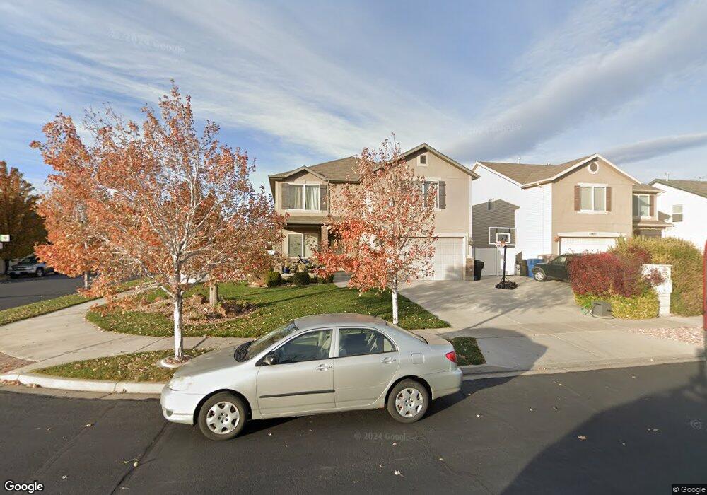
1969 E 1130 S Spanish Fork, UT 84660
Estimated Value: $582,480 - $638,000
5
Beds
3
Baths
3,327
Sq Ft
$182/Sq Ft
Est. Value
About This Home
This home is located at 1969 E 1130 S, Spanish Fork, UT 84660 and is currently estimated at $606,870, approximately $182 per square foot. 1969 E 1130 S is a home located in Utah County with nearby schools including East Meadows Elementary School, Spanish Fork Jr High School, and Spanish Fork High School.
Ownership History
Date
Name
Owned For
Owner Type
Purchase Details
Closed on
May 1, 2015
Sold by
Sharp David P and Sharp Shilley L
Bought by
Mitchell Mark and Mitchell Rachel
Current Estimated Value
Home Financials for this Owner
Home Financials are based on the most recent Mortgage that was taken out on this home.
Original Mortgage
$255,000
Outstanding Balance
$196,799
Interest Rate
3.73%
Mortgage Type
New Conventional
Estimated Equity
$410,071
Purchase Details
Closed on
Aug 2, 2006
Sold by
Salisbury Development Llc
Bought by
Fieldstone Homes Utah Llc
Create a Home Valuation Report for This Property
The Home Valuation Report is an in-depth analysis detailing your home's value as well as a comparison with similar homes in the area
Home Values in the Area
Average Home Value in this Area
Purchase History
| Date | Buyer | Sale Price | Title Company |
|---|---|---|---|
| Mitchell Mark | -- | Access Title Co | |
| Fieldstone Homes Utah Llc | -- | Provo Land Title Co |
Source: Public Records
Mortgage History
| Date | Status | Borrower | Loan Amount |
|---|---|---|---|
| Open | Mitchell Mark | $255,000 |
Source: Public Records
Tax History Compared to Growth
Tax History
| Year | Tax Paid | Tax Assessment Tax Assessment Total Assessment is a certain percentage of the fair market value that is determined by local assessors to be the total taxable value of land and additions on the property. | Land | Improvement |
|---|---|---|---|---|
| 2025 | $2,571 | $281,600 | $179,700 | $332,300 |
| 2024 | $2,571 | $264,990 | $0 | $0 |
| 2023 | $2,684 | $276,925 | $0 | $0 |
| 2022 | $2,682 | $271,425 | $0 | $0 |
| 2021 | $2,335 | $378,100 | $107,300 | $270,800 |
| 2020 | $2,212 | $348,200 | $97,500 | $250,700 |
| 2019 | $1,947 | $322,400 | $81,200 | $241,200 |
| 2018 | $1,885 | $301,800 | $76,700 | $225,100 |
| 2017 | $1,842 | $158,455 | $0 | $0 |
| 2016 | $1,753 | $148,830 | $0 | $0 |
| 2015 | $1,674 | $140,415 | $0 | $0 |
| 2014 | $1,510 | $127,105 | $0 | $0 |
Source: Public Records
Map
Nearby Homes
- 1093 S 1960 E
- 1236 S 2130 E
- 1246 S 2130 E
- 938 S 1740 E
- 1931 E 1400 S
- 1112 S 1660 E
- 2064 E 800 S
- 1184 S 2300 E
- 1033 S 1560 E
- 417 E 1460 S Unit 48
- 332 E 1460 S Unit 56
- 357 E 1460 S Unit 45
- 385 E 1460 S Unit 47
- 379 E 1460 S Unit 46
- 3509 E 1120 S Unit 109
- 3462 E 1120 S Unit 117
- 2308 E 830 S Unit 8
- 2342 E 830 S Unit 25
- 2342 E 830 S Unit 26
- 2342 E 830 S Unit 7