Estimated Value: $303,589 - $393,000
Studio
--
Bath
--
Sq Ft
16,988
Sq Ft Lot
About This Home
This home is located at 1969 Justin Dr, Omro, WI 54963 and is currently estimated at $365,147. 1969 Justin Dr is a home located in Winnebago County with nearby schools including Patch Elementary School, Omro Elementary School, and Omro Middle School.
Ownership History
Date
Name
Owned For
Owner Type
Purchase Details
Closed on
Aug 4, 2014
Sold by
Classic Homes By Kuba Ltd
Bought by
Westergard Matthew L and Westergard Kristin
Current Estimated Value
Home Financials for this Owner
Home Financials are based on the most recent Mortgage that was taken out on this home.
Original Mortgage
$141,650
Outstanding Balance
$108,330
Interest Rate
4.19%
Mortgage Type
New Conventional
Estimated Equity
$256,817
Create a Home Valuation Report for This Property
The Home Valuation Report is an in-depth analysis detailing your home's value as well as a comparison with similar homes in the area
Home Values in the Area
Average Home Value in this Area
Purchase History
| Date | Buyer | Sale Price | Title Company |
|---|---|---|---|
| Westergard Matthew L | $162,800 | None Available |
Source: Public Records
Mortgage History
| Date | Status | Borrower | Loan Amount |
|---|---|---|---|
| Open | Westergard Matthew L | $141,650 |
Source: Public Records
Tax History
| Year | Tax Paid | Tax Assessment Tax Assessment Total Assessment is a certain percentage of the fair market value that is determined by local assessors to be the total taxable value of land and additions on the property. | Land | Improvement |
|---|---|---|---|---|
| 2024 | $4,764 | $182,000 | $36,200 | $145,800 |
| 2023 | $4,308 | $182,000 | $36,200 | $145,800 |
| 2022 | $4,254 | $182,000 | $36,200 | $145,800 |
| 2021 | $4,012 | $182,000 | $36,200 | $145,800 |
| 2020 | $4,022 | $182,000 | $36,200 | $145,800 |
| 2019 | $3,870 | $182,000 | $36,200 | $145,800 |
| 2018 | $3,877 | $182,000 | $36,200 | $145,800 |
| 2017 | $3,654 | $152,900 | $20,000 | $132,900 |
| 2016 | $3,571 | $152,900 | $20,000 | $132,900 |
| 2015 | $3,822 | $152,900 | $20,000 | $132,900 |
| 2014 | -- | $7,500 | $7,500 | $0 |
| 2013 | -- | $7,500 | $7,500 | $0 |
Source: Public Records
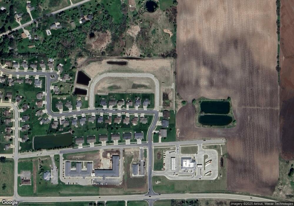
Map
Nearby Homes
- 336 Wintergreen Dr
- 320 Lincoln Ave
- 1110 E Main St
- 833 Whispering Way
- 336 Mckinley Ave
- 613 Mckinley Ave
- 651 E River Dr
- 730 E Scott St
- 351 E Scott St
- 0 Poygan Rd
- 0 County Rd E Unit 50318875
- 1 Reighmoor Rd
- 5294 Notre Dame Dr
- 2284 Waukau Rd
- 5340 Wisconsin 21
- 5316 Cornhusk Ln
- 5304 Fenceline Ln
- 5289 Cornhusk Ln
- 0 Cornhusk Ln
- 3098 Heise Rd
- 1955 Justin Dr
- 1960 Justin Dr
- 1941 Justin Dr
- 1927 Justin Dr
- 1957 Huckleberry Ave
- 1919 Justin Dr
- 0 Brooke Dr Unit 50080644
- 0 Brooke Dr Unit 50314034
- 0 Brooke Dr Unit 50311891
- 0 Brooke Dr Unit 36798450
- 0 Brooke Dr Unit 36798446
- 0 Brooke Dr Unit 36798440
- 0 Brooke Dr Unit 36771135
- 0 Brooke Dr Unit 50311767
- 1920 Justin Dr
- 1935 Huckleberry Ave
- 1912 Justin Dr
- 1903 Huckleberry Ave
- 1901 Huckleberry Ave
- 1909 Huckleberry Ave
Your Personal Tour Guide
Ask me questions while you tour the home.