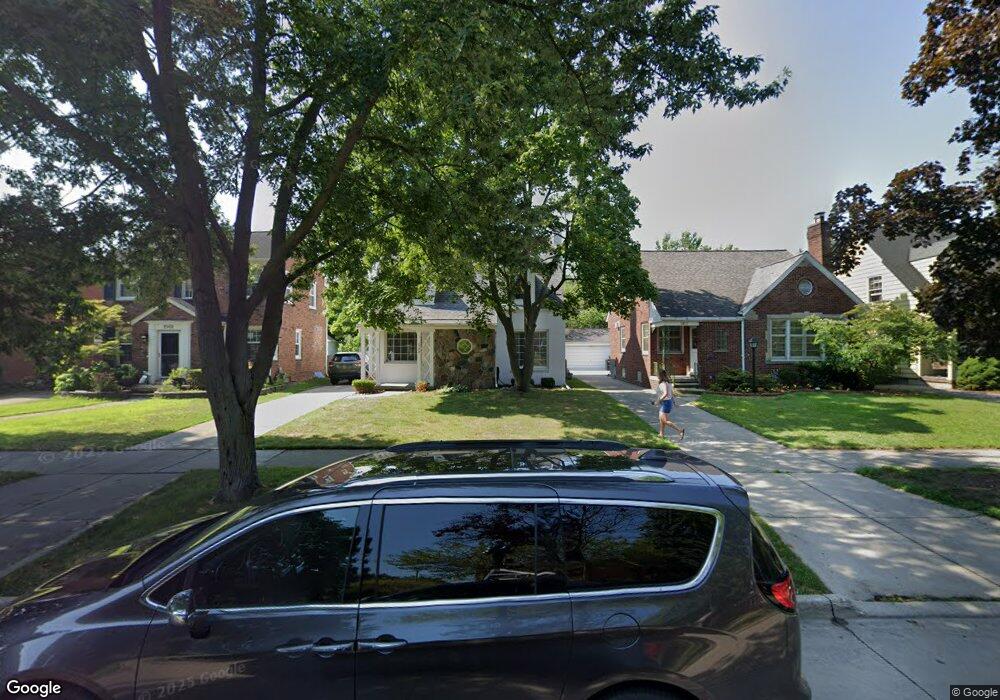
1969 Lochmoor Blvd Grosse Pointe Woods, MI 48236
Estimated Value: $305,000 - $347,000
3
Beds
2
Baths
1,708
Sq Ft
$188/Sq Ft
Est. Value
About This Home
This home is located at 1969 Lochmoor Blvd, Grosse Pointe Woods, MI 48236 and is currently estimated at $321,366, approximately $188 per square foot. 1969 Lochmoor Blvd is a home located in Wayne County with nearby schools including Stevens T. Mason Elementary School, Parcells Middle School, and Grosse Pointe North High School.
Ownership History
Date
Name
Owned For
Owner Type
Purchase Details
Closed on
Sep 9, 2009
Sold by
Mcintyre Amy Kathleen and Phipps Thomas P
Bought by
Mcintyre Robert Francis
Current Estimated Value
Home Financials for this Owner
Home Financials are based on the most recent Mortgage that was taken out on this home.
Original Mortgage
$82,000
Interest Rate
5.32%
Mortgage Type
New Conventional
Purchase Details
Closed on
Jan 22, 1997
Sold by
Richard F and Richard Marybeth Gro
Bought by
Timothy C and Ryan Amy K
Create a Home Valuation Report for This Property
The Home Valuation Report is an in-depth analysis detailing your home's value as well as a comparison with similar homes in the area
Home Values in the Area
Average Home Value in this Area
Purchase History
| Date | Buyer | Sale Price | Title Company |
|---|---|---|---|
| Mcintyre Robert Francis | -- | Chirco Title Company | |
| Timothy C | $161,500 | -- |
Source: Public Records
Mortgage History
| Date | Status | Borrower | Loan Amount |
|---|---|---|---|
| Closed | Mcintyre Robert Francis | $82,000 |
Source: Public Records
Tax History Compared to Growth
Tax History
| Year | Tax Paid | Tax Assessment Tax Assessment Total Assessment is a certain percentage of the fair market value that is determined by local assessors to be the total taxable value of land and additions on the property. | Land | Improvement |
|---|---|---|---|---|
| 2025 | $2,674 | $142,100 | $0 | $0 |
| 2024 | $2,674 | $135,000 | $0 | $0 |
| 2023 | $2,571 | $126,900 | $0 | $0 |
| 2022 | $4,027 | $107,800 | $0 | $0 |
| 2021 | $3,839 | $106,600 | $0 | $0 |
| 2020 | $3,953 | $99,800 | $0 | $0 |
| 2019 | $3,869 | $95,100 | $0 | $0 |
| 2018 | $2,300 | $86,100 | $0 | $0 |
| 2017 | $2,673 | $84,400 | $0 | $0 |
| 2016 | $3,644 | $77,200 | $0 | $0 |
| 2015 | $6,316 | $72,000 | $0 | $0 |
| 2013 | $6,080 | $65,800 | $0 | $0 |
| 2012 | -- | $59,400 | $14,200 | $45,200 |
Source: Public Records
Map
Nearby Homes
- 2048 Hunt Club Dr
- 1828 Lochmoor Blvd
- 2100 Country Club Dr
- 1930 Fleetwood Dr
- 1914 Fleetwood Dr
- 20950 Norwood Dr
- 20886 Hunt Club Dr
- 20926 Lennon St
- 20879 Beaufait St
- 20914 Woodmont St
- 20884 Woodmont St
- 21138 Huntington Ave
- 20923 Wildwood Dr Unit 226
- 20870 Wildwood Dr Unit 221
- 1945 Anita Ave
- 1505 Fairholme Rd
- 20703 Fleetwood Dr
- 20852 Wildwood Dr Unit 109
- 20871 van Antwerp St
- 20672 Fleetwood Dr
- 1977 Lochmoor Blvd
- 1961 Lochmoor Blvd
- 1953 Lochmoor Blvd
- 1985 Lochmoor Blvd
- 1968 Hunt Club Dr
- 1976 Hunt Club Dr
- 1960 Hunt Club Dr
- 1993 Lochmoor Blvd
- 1952 Hunt Club Dr
- 1984 Hunt Club Dr
- 1992 Hunt Club Dr
- 1931 Lochmoor Blvd
- 1968 Lochmoor Blvd
- 1984 Lochmoor Blvd
- 1960 Lochmoor Blvd
- 2009 Lochmoor Blvd
- 2000 Hunt Club Dr
- 1952 Lochmoor Blvd
- 1930 Hunt Club Dr
- 1992 Lochmoor Blvd