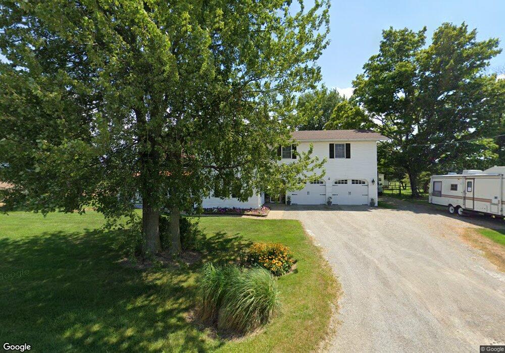
1969 Radnor Rd Radnor, OH 43066
Troy NeighborhoodEstimated Value: $338,101 - $611,000
3
Beds
2
Baths
2,251
Sq Ft
$185/Sq Ft
Est. Value
About This Home
This home is located at 1969 Radnor Rd, Radnor, OH 43066 and is currently estimated at $415,525, approximately $184 per square foot. 1969 Radnor Rd is a home located in Delaware County with nearby schools including Buckeye Valley High School.
Ownership History
Date
Name
Owned For
Owner Type
Purchase Details
Closed on
Oct 3, 2017
Sold by
Manson Rachel B
Bought by
Monson Trust
Current Estimated Value
Purchase Details
Closed on
Aug 9, 1988
Bought by
Boehm John F Beth A
Create a Home Valuation Report for This Property
The Home Valuation Report is an in-depth analysis detailing your home's value as well as a comparison with similar homes in the area
Home Values in the Area
Average Home Value in this Area
Purchase History
| Date | Buyer | Sale Price | Title Company |
|---|---|---|---|
| Monson Trust | -- | -- | |
| Boehm John F Beth A | $14,000 | -- |
Source: Public Records
Tax History
| Year | Tax Paid | Tax Assessment Tax Assessment Total Assessment is a certain percentage of the fair market value that is determined by local assessors to be the total taxable value of land and additions on the property. | Land | Improvement |
|---|---|---|---|---|
| 2024 | $3,243 | $84,220 | $15,300 | $68,920 |
| 2023 | $3,031 | $84,220 | $15,300 | $68,920 |
| 2022 | $2,690 | $66,750 | $11,480 | $55,270 |
| 2021 | $2,691 | $66,750 | $11,480 | $55,270 |
| 2020 | $2,581 | $66,750 | $11,480 | $55,270 |
| 2019 | $2,448 | $58,040 | $9,980 | $48,060 |
| 2018 | $2,485 | $58,040 | $9,980 | $48,060 |
| 2017 | $2,312 | $52,850 | $6,650 | $46,200 |
| 2016 | $2,119 | $52,850 | $6,650 | $46,200 |
| 2015 | $2,233 | $52,850 | $6,650 | $46,200 |
| 2014 | $2,104 | $52,850 | $6,650 | $46,200 |
| 2013 | $2,115 | $52,850 | $6,650 | $46,200 |
Source: Public Records
Map
Nearby Homes
- 6412 Troy Rd
- 4389 State Route 203
- 3414 State Route 203
- 5734 U S Highway 23 N
- 5718 U S Highway 23 N
- 0 Norton Rd
- 0 Panhandle Rd Unit 225040827
- 0 Panhandle Rd Unit 26283134
- 4093 State Route 257
- 278 Sylvan Dr
- 130 Cedar Creek St
- 159 Marblewood Dr
- 1817 Lawrence Rd
- 1330 Hanover Lot 0205 Rd
- 1330 Hanover Lot 0206 Rd
- 1330 Hanover Lot 0501 Rd
- 1330 Hanover Rd Unit 8
- 1330 Hanover Rd Unit 74
- 1330 Hanover Rd
- 1330 Hanover Rd Unit 71
- 2075 Radnor Rd
- 2130 Radnor Rd
- 2205 Radnor Rd
- 2220 Radnor Rd
- 5137 Troy Rd
- 5322 N Section Line Rd
- Lot 3 N Section Line Rd
- Lot 2 N Section Line Rd
- 0 N Section Line Rd
- 5135 Troy Rd
- 5460 N Section Line Rd
- 4904 N Section Line Rd
- 5538 N Section Line Rd
- 4780 N Section Line Rd
- 4878 N Section Line Rd
- 2558 Radnor Rd
- 5133 Troy Rd
- 4850 N Section Line Rd
- 5423 Troy Rd
- 4820 N Section Line Rd
Your Personal Tour Guide
Ask me questions while you tour the home.