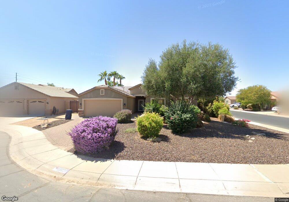
19696 N Aubrey Cir Maricopa, AZ 85138
Rancho El Dorado NeighborhoodEstimated Value: $366,754 - $431,000
--
Bed
--
Bath
2,026
Sq Ft
$196/Sq Ft
Est. Value
About This Home
This home is located at 19696 N Aubrey Cir, Maricopa, AZ 85138 and is currently estimated at $396,939, approximately $195 per square foot. 19696 N Aubrey Cir is a home located in Pinal County with nearby schools including Butterfield Elementary School, Maricopa High School, and Maricopa Wells Middle School.
Ownership History
Date
Name
Owned For
Owner Type
Purchase Details
Closed on
Dec 2, 2020
Sold by
Palermo Suzanne
Bought by
Flores Gerardo and Woods Kristin
Current Estimated Value
Home Financials for this Owner
Home Financials are based on the most recent Mortgage that was taken out on this home.
Original Mortgage
$324,022
Outstanding Balance
$293,669
Interest Rate
2.8%
Mortgage Type
FHA
Estimated Equity
$103,270
Purchase Details
Closed on
Sep 23, 2005
Sold by
Canterra Homes Inc
Bought by
Palermo Suzanne
Home Financials for this Owner
Home Financials are based on the most recent Mortgage that was taken out on this home.
Original Mortgage
$263,299
Interest Rate
6.52%
Mortgage Type
New Conventional
Create a Home Valuation Report for This Property
The Home Valuation Report is an in-depth analysis detailing your home's value as well as a comparison with similar homes in the area
Home Values in the Area
Average Home Value in this Area
Purchase History
| Date | Buyer | Sale Price | Title Company |
|---|---|---|---|
| Flores Gerardo | $330,000 | Empire West Title Agency Llc | |
| Palermo Suzanne | $318,871 | First American Title Ins Co | |
| Canterra Homes Inc | -- | First American Title Ins Co | |
| Canterra Contracting Llc | -- | First American Title Ins Co |
Source: Public Records
Mortgage History
| Date | Status | Borrower | Loan Amount |
|---|---|---|---|
| Open | Flores Gerardo | $324,022 | |
| Previous Owner | Palermo Suzanne | $263,299 |
Source: Public Records
Tax History Compared to Growth
Tax History
| Year | Tax Paid | Tax Assessment Tax Assessment Total Assessment is a certain percentage of the fair market value that is determined by local assessors to be the total taxable value of land and additions on the property. | Land | Improvement |
|---|---|---|---|---|
| 2025 | $1,924 | $27,101 | -- | -- |
| 2024 | $1,738 | $33,874 | -- | -- |
| 2023 | $1,874 | $25,057 | $4,966 | $20,091 |
| 2022 | $1,820 | $18,722 | $3,311 | $15,411 |
| 2021 | $1,738 | $17,262 | $0 | $0 |
| 2020 | $2,336 | $15,211 | $0 | $0 |
| 2019 | $2,162 | $14,043 | $0 | $0 |
| 2018 | $2,120 | $13,132 | $0 | $0 |
| 2017 | $2,071 | $12,669 | $0 | $0 |
| 2016 | $1,350 | $12,930 | $1,250 | $11,680 |
| 2014 | $1,290 | $8,281 | $1,000 | $7,281 |
Source: Public Records
Map
Nearby Homes
- 19776 N Harris Dr
- 43581 W Mccord Dr
- 43192 W Oster Dr
- 43348 W Wild Horse Trail
- 19969 N Santa Cruz Dr
- 43760 W Magnolia Rd
- 20139 N Bustos Way
- 43228 W Knauss Dr
- 20226 N Madison Dr
- 43460 W Caven Dr
- 43298 W Arizona Ave
- 43531 W Bailey Dr
- 20200 N Donithan Way
- 42938 W Kingfisher Dr
- 43906 W Mcclelland Dr
- 42915 W Kingfisher Dr
- 44014 W Mccord Dr
- 43003 W Magnolia Rd
- 42975 W Misty Morning Ln
- 42879 W Sandpiper Dr
- 19674 N Aubrey Cir
- 43543 W Mccord Dr
- 43504 W Mccord Dr
- 43524 W Mccord Dr
- 43565 W Mccord Dr
- 19650 N Aubrey Cir
- 43542 W Mccord Dr
- 19697 N Aubrey Cir
- 43466 W Mccord Dr
- 19675 N Aubrey Cir
- 19651 N Aubrey Cir
- 43505 W Neely Dr
- 43525 W Neely Dr
- 43448 W Mccord Dr
- 43543 W Neely Dr
- 19736 N Harris Dr
- 43467 W Neely Dr
- 43428 W Mccord Dr
- 19756 N Harris Dr
- 19674 N Madison Cir