19697 Westchester Dr Unit 21 Clinton Township, MI 48038
Estimated Value: $813,000 - $1,183,000
5
Beds
5
Baths
3,946
Sq Ft
$264/Sq Ft
Est. Value
About This Home
This home is located at 19697 Westchester Dr Unit 21, Clinton Township, MI 48038 and is currently estimated at $1,039,866, approximately $263 per square foot. 19697 Westchester Dr Unit 21 is a home located in Macomb County with nearby schools including Cherokee Elementary School, Wyandot Middle School, and Chippewa Valley High School.
Ownership History
Date
Name
Owned For
Owner Type
Purchase Details
Closed on
Oct 16, 2009
Sold by
Peridot Investment Inc
Bought by
Bradley J Michael and Bradley Linda
Current Estimated Value
Purchase Details
Closed on
Mar 19, 2009
Sold by
Eastern Savings Bank Fsb
Bought by
Peridot Investments Inc
Purchase Details
Closed on
Sep 19, 2008
Sold by
Fodale Samuel M and Fodale Judith M
Bought by
Eastern Savings Bank Fs
Create a Home Valuation Report for This Property
The Home Valuation Report is an in-depth analysis detailing your home's value as well as a comparison with similar homes in the area
Home Values in the Area
Average Home Value in this Area
Purchase History
| Date | Buyer | Sale Price | Title Company |
|---|---|---|---|
| Bradley J Michael | $530,000 | Sterling Title Agency | |
| Peridot Investments Inc | -- | None Available | |
| Eastern Savings Bank Fs | $673,557 | None Available |
Source: Public Records
Tax History Compared to Growth
Tax History
| Year | Tax Paid | Tax Assessment Tax Assessment Total Assessment is a certain percentage of the fair market value that is determined by local assessors to be the total taxable value of land and additions on the property. | Land | Improvement |
|---|---|---|---|---|
| 2025 | $20,017 | $650,500 | $0 | $0 |
| 2024 | $11,926 | $667,600 | $0 | $0 |
| 2023 | $11,312 | $624,000 | $0 | $0 |
| 2022 | $18,137 | $565,100 | $0 | $0 |
| 2021 | $17,640 | $558,600 | $0 | $0 |
| 2020 | $10,378 | $562,800 | $0 | $0 |
| 2019 | $16,431 | $574,300 | $0 | $0 |
| 2018 | $16,140 | $576,400 | $0 | $0 |
| 2017 | $15,947 | $521,200 | $229,000 | $292,200 |
| 2016 | $15,847 | $521,200 | $0 | $0 |
| 2015 | -- | $480,300 | $0 | $0 |
| 2014 | -- | $449,000 | $0 | $0 |
| 2011 | -- | $387,900 | $104,600 | $283,300 |
Source: Public Records
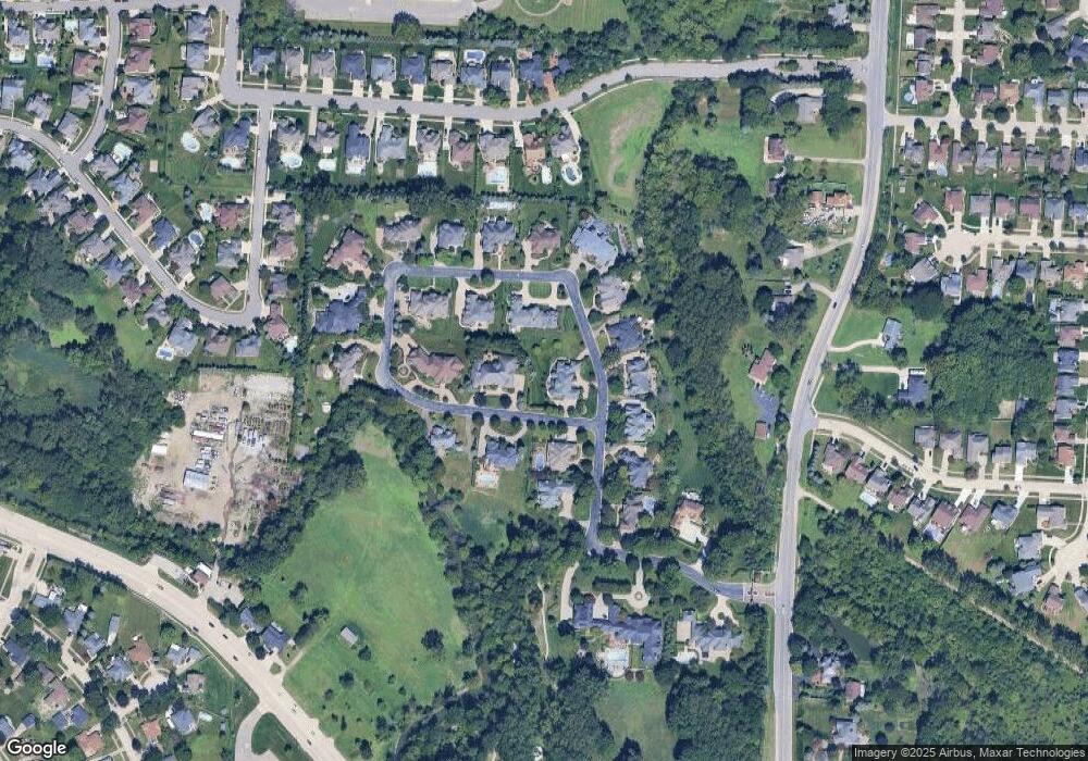
Map
Nearby Homes
- 19790 Westchester Dr Unit 11
- 42680 Chippewa Dr Unit 28
- 0 Clinton River Rd Unit 20251013874
- 42328 Sheridan Ct
- 41992 Merrimac Cir
- 20465 Saint Laurence Dr
- 42002 Coulon Dr
- 43377 Rivergate Dr
- 41704 Clinton Pines Dr
- 43363 Herring Dr
- 20140 Shoals Ct Unit 16
- 20784 Cannon Dr
- 18960 Sandhurst Dr
- 43274 Hillsboro Dr
- 20330 Rambling Dr
- 43373 Brooks Dr
- 41259 Rugosa Dr
- 20561 Longwood Dr Unit 64
- 20654 Dunham Rd Unit 24
- 19118 Killeen Dr
- 19682 Westchester Dr
- 19814 Westchester Dr
- 19874 Westchester Dr Unit 4
- 19910 Westchester Dr
- 19910 Westchester Dr Unit 1
- 0 Westchester Dr
- 19709 Westchester Dr
- 19694 Westchester Dr
- 19862 Westchester Dr Unit 5
- 19886 Westchester Dr
- 19829 Westchester Dr
- 19706 Westchester Dr
- 19850 Westchester Dr
- 19898 Westchester Dr Unit 2
- 19898 Westchester Drive #2
- 19898 Westchester Drive #2 Unit 2
- 19805 Westchester Dr
- 19733 Westchester Dr
- 19730 Westchester Dr
- 19838 Westchester Dr