197 Crown Point Rd Unit 197 Parsippany, NJ 07054
Estimated Value: $659,746 - $712,000
--
Bed
--
Bath
1,719
Sq Ft
$396/Sq Ft
Est. Value
About This Home
This home is located at 197 Crown Point Rd Unit 197, Parsippany, NJ 07054 and is currently estimated at $679,937, approximately $395 per square foot. 197 Crown Point Rd Unit 197 is a home located in Morris County with nearby schools including Lake Hiawatha Elementary School, Central Middle School, and Parsippany High School.
Ownership History
Date
Name
Owned For
Owner Type
Purchase Details
Closed on
Jul 15, 1999
Sold by
Beverwyck Pointe Associates Llc
Bought by
Stark Leslie H
Current Estimated Value
Home Financials for this Owner
Home Financials are based on the most recent Mortgage that was taken out on this home.
Original Mortgage
$100,000
Interest Rate
7.39%
Mortgage Type
Purchase Money Mortgage
Create a Home Valuation Report for This Property
The Home Valuation Report is an in-depth analysis detailing your home's value as well as a comparison with similar homes in the area
Home Values in the Area
Average Home Value in this Area
Purchase History
| Date | Buyer | Sale Price | Title Company |
|---|---|---|---|
| Stark Leslie H | $214,900 | -- |
Source: Public Records
Mortgage History
| Date | Status | Borrower | Loan Amount |
|---|---|---|---|
| Closed | Stark Leslie H | $100,000 |
Source: Public Records
Tax History Compared to Growth
Tax History
| Year | Tax Paid | Tax Assessment Tax Assessment Total Assessment is a certain percentage of the fair market value that is determined by local assessors to be the total taxable value of land and additions on the property. | Land | Improvement |
|---|---|---|---|---|
| 2025 | $11,727 | $332,600 | $175,000 | $157,600 |
| 2024 | $11,508 | $332,600 | $175,000 | $157,600 |
| 2023 | $11,508 | $332,600 | $175,000 | $157,600 |
| 2022 | $10,042 | $332,600 | $175,000 | $157,600 |
| 2021 | $10,042 | $332,600 | $175,000 | $157,600 |
| 2020 | $10,507 | $332,600 | $175,000 | $157,600 |
| 2019 | $10,214 | $332,600 | $175,000 | $157,600 |
| 2018 | $9,988 | $332,600 | $175,000 | $157,600 |
| 2017 | $9,752 | $332,600 | $175,000 | $157,600 |
| 2016 | $9,576 | $332,600 | $175,000 | $157,600 |
| 2015 | $9,333 | $332,600 | $175,000 | $157,600 |
| 2014 | $9,203 | $332,600 | $175,000 | $157,600 |
Source: Public Records
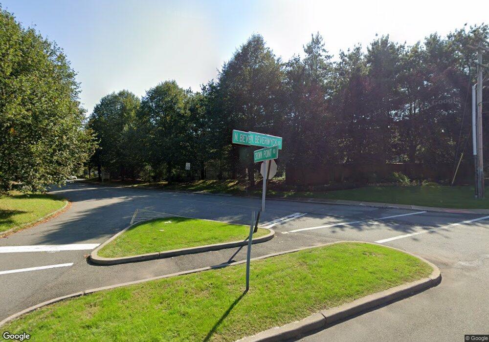
Map
Nearby Homes
- 123 Cardigan Ct Unit 123
- 53 Gordon Cir Unit 53
- 159 Ball Ave
- 5 Twin Oaks Ct
- 188 Edwards Rd
- 3 Woodhaven Rd
- 2 Colony Ct
- 20 Sandra Dr
- 21 Nokomis Ave
- 12 Cherokee Ave
- 20 Druid Hill Dr
- 209 Raymound Blvd
- 122 Lake Shore Dr
- 30 Madison Ave
- 17 Madison Ave
- 204 Lake Shore Dr
- 60 White Oak Rd
- 2 Buckingham Rd
- 42 Minnehaha Blvd
- 61 Minnehaha Blvd
- 198 Crown Point Rd
- 196 Crown Point Rd Unit 196
- 195 Crown Point Rd
- 194 Crown Point Rd Unit 194
- 199 Crown Point Rd Unit 199
- 200 Crown Point Rd
- 201 Crown Point Rd Unit 201
- 192 Crown Point Rd Unit 192
- 181 Crown Point Rd
- 202 Crown Point Rd
- 170 Crown Point Rd Unit 170
- 191 Crown Point Rd Unit 191
- 180 Crown Point Rd
- 203 Crown Point Rd Unit 203
- 113 Cardigan Ct Unit 113
- 171 Crown Point Rd Unit 171
- 179 Crown Point Rd Unit 179
- 124 Cardigan Ct Unit 124
- 112 Cardigan Ct
- 188 Crown Point Rd Unit 188