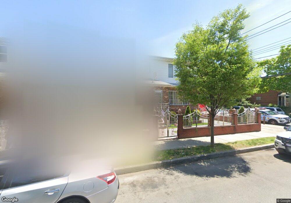
197 Crystal St Brooklyn, NY 11208
East New York NeighborhoodEstimated Value: $702,345 - $1,061,000
Studio
--
Bath
2,000
Sq Ft
$448/Sq Ft
Est. Value
About This Home
This home is located at 197 Crystal St, Brooklyn, NY 11208 and is currently estimated at $895,836, approximately $447 per square foot. 197 Crystal St is a home located in Kings County with nearby schools including P.S. 159 Isaac Pitkin, Liberty Avenue Middle School, and Vista Academy.
Ownership History
Date
Name
Owned For
Owner Type
Purchase Details
Closed on
Jul 29, 1999
Sold by
Densan Enterprises Inc
Bought by
Otto Brian A and Otto Luon J
Current Estimated Value
Home Financials for this Owner
Home Financials are based on the most recent Mortgage that was taken out on this home.
Original Mortgage
$172,000
Interest Rate
7.81%
Create a Home Valuation Report for This Property
The Home Valuation Report is an in-depth analysis detailing your home's value as well as a comparison with similar homes in the area
Home Values in the Area
Average Home Value in this Area
Purchase History
| Date | Buyer | Sale Price | Title Company |
|---|---|---|---|
| Otto Brian A | $215,000 | -- |
Source: Public Records
Mortgage History
| Date | Status | Borrower | Loan Amount |
|---|---|---|---|
| Previous Owner | Otto Brian A | $172,000 |
Source: Public Records
Tax History
| Year | Tax Paid | Tax Assessment Tax Assessment Total Assessment is a certain percentage of the fair market value that is determined by local assessors to be the total taxable value of land and additions on the property. | Land | Improvement |
|---|---|---|---|---|
| 2025 | $7,110 | $40,380 | $11,040 | $29,340 |
| 2024 | $7,110 | $47,520 | $11,040 | $36,480 |
| 2023 | $7,188 | $49,560 | $11,040 | $38,520 |
| 2022 | $7,004 | $40,560 | $11,040 | $29,520 |
| 2021 | $6,955 | $41,280 | $11,040 | $30,240 |
| 2019 | $6,122 | $38,580 | $11,040 | $27,540 |
| 2018 | $5,952 | $30,660 | $11,040 | $19,620 |
| 2017 | $5,904 | $30,435 | $8,847 | $21,588 |
| 2016 | $5,430 | $28,713 | $9,949 | $18,764 |
| 2015 | $3,243 | $27,088 | $10,158 | $16,930 |
| 2014 | $3,243 | $25,556 | $8,661 | $16,895 |
Source: Public Records
Map
Nearby Homes
- 194 Crystal St
- 928 Belmont Ave
- 99 Doscher St
- 575 Logan Street
- 127 Crystal St
- 125 Crystal St
- 126 Crystal St
- 196 Fountain Ave
- 551 Euclid Ave Unit 4
- 447 Logan St
- 577 Logan St
- 1140 Sutter Ave
- 1059 Belmont Ave
- 900 Glenmore Ave
- 184 Milford St
- 414 Chestnut St
- 321 Milford St
- 170 Milford St
- 283 Montauk Ave
- 210 Montauk Ave
- 193 Crystal St
- 945 Belmont Ave
- 187 Crystal St
- 947 Belmont Ave
- 199 Crystal St
- 953 Belmont Ave
- 185 Crystal St
- 203 Crystal St Unit 2
- 203 Crystal St
- 955 Belmont Ave
- 955 Belmont Ave Unit HOUSE
- 181 Crystal St
- 205 Crystal St
- 938 Belmont Ave Unit 4
- 959 Belmont Ave
- 530 Chestnut St
- 192 Crystal St
- 179 Crystal St
- 190 Crystal St
- 190 Crystal St
Your Personal Tour Guide
Ask me questions while you tour the home.