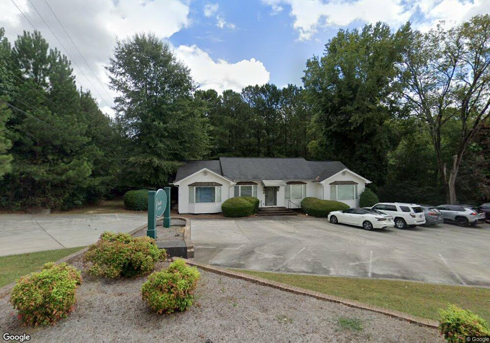
197 Curtis Pkwy NE Calhoun, GA 30701
Estimated Value: $385,386
--
Bed
--
Bath
2,024
Sq Ft
$190/Sq Ft
Est. Value
About This Home
This home is located at 197 Curtis Pkwy NE, Calhoun, GA 30701 and is currently estimated at $385,386, approximately $190 per square foot. 197 Curtis Pkwy NE is a home located in Gordon County with nearby schools including Red Bud Elementary School.
Ownership History
Date
Name
Owned For
Owner Type
Purchase Details
Closed on
Oct 24, 2018
Sold by
Weber Pete
Bought by
Doe Holdings Llc
Current Estimated Value
Purchase Details
Closed on
Jun 11, 2018
Sold by
Ashton Commons Inc
Bought by
Weber Pete
Purchase Details
Closed on
Mar 10, 2004
Sold by
Ashton Commons Inc
Bought by
Ashton Commons Inc
Purchase Details
Closed on
Jan 25, 2002
Sold by
Montanaro Richard R
Bought by
Gordon Behavioral Sciences Pc
Purchase Details
Closed on
Jun 22, 1998
Bought by
Montanaro Richard R
Create a Home Valuation Report for This Property
The Home Valuation Report is an in-depth analysis detailing your home's value as well as a comparison with similar homes in the area
Home Values in the Area
Average Home Value in this Area
Purchase History
| Date | Buyer | Sale Price | Title Company |
|---|---|---|---|
| Doe Holdings Llc | -- | -- | |
| Weber Pete | $208,000 | -- | |
| Ashton Commons Inc | -- | -- | |
| Ashton Commons Inc | $195,500 | -- | |
| Gordon Behavioral Sciences Pc | $190,000 | -- | |
| Montanaro Richard R | $155,000 | -- |
Source: Public Records
Tax History Compared to Growth
Tax History
| Year | Tax Paid | Tax Assessment Tax Assessment Total Assessment is a certain percentage of the fair market value that is determined by local assessors to be the total taxable value of land and additions on the property. | Land | Improvement |
|---|---|---|---|---|
| 2024 | $1,751 | $62,280 | $26,880 | $35,400 |
| 2023 | $1,822 | $64,800 | $26,880 | $37,920 |
| 2022 | $641 | $67,320 | $26,880 | $40,440 |
| 2021 | $2,130 | $71,560 | $26,880 | $44,680 |
| 2020 | $2,198 | $73,240 | $26,880 | $46,360 |
| 2019 | $2,195 | $73,240 | $26,880 | $46,360 |
| 2018 | $592 | $61,480 | $26,880 | $34,600 |
Source: Public Records
Map
Nearby Homes
- 326 Curtis Pkwy NE
- 133 Kentucky Dr NE
- 140 Cambridge Ct
- 130 Cambridge Ct
- 129 Derby Ln
- 127 Windsor Dr
- 195 Dogwood Dr SE
- 2148 Red Bud Rd NE
- 112 Willowbrook Dr SE
- 114 Lindsey Ct NE
- 209 Willowbrook Dr SE
- 0 Redwood St Unit 7563377
- 0 Redwood St Unit 10553706
- 220 Lenox Rd SE
- 202 Montclair Dr
- 62 Professional Place Unit 30
- 129 Green Meadow Ln NE
- 110 Vogel St
- 107 Savoy Place SE
- 190 Curtis Pkwy NE
- 133 Versallies Dr NE
- 130 Versallies Dr NE
- 276 Curtis Pkwy NE
- 143 Lexington Dr NE
- 121 Versallies Dr NE
- 0 Versailles Dr NE
- 155 York Place
- 129 Lexington Dr NE
- 129 Lexington Dr NE
- 208 Kentucky Dr NE
- 198 Kentucky Dr NE
- 120 Curtis Cir SE
- 120 Curtis Cir SE
- 174 Kentucky Dr NE
- 132 Lexington Dr NE
- 158 Kentucky Dr NE
- 0 Lexington Dr NE
- 0 Kent Dr Unit 8444375
- 153 York Place