197 Davis Dr Calhoun, GA 30701
Estimated Value: $364,000
3
Beds
2
Baths
2,675
Sq Ft
$136/Sq Ft
Est. Value
About This Home
This home is located at 197 Davis Dr, Calhoun, GA 30701 and is currently priced at $364,000, approximately $136 per square foot. 197 Davis Dr is a home located in Gordon County with nearby schools including Red Bud Elementary School, Red Bud Middle School, and Sonoraville High School.
Ownership History
Date
Name
Owned For
Owner Type
Purchase Details
Closed on
Feb 24, 2005
Sold by
Cochran Monica and Cochran Joshua
Bought by
Young Jeffrey C and Young Lana B
Current Estimated Value
Purchase Details
Closed on
Jun 30, 2004
Sold by
Cochran Monica and Cochran Joshua
Bought by
Cochran Monica and Cochran Joshua
Purchase Details
Closed on
Sep 21, 2002
Sold by
Cochran Dan
Bought by
Cochran Monica and Cochran Joshua
Purchase Details
Closed on
Apr 22, 1997
Bought by
Cochran Dan
Create a Home Valuation Report for This Property
The Home Valuation Report is an in-depth analysis detailing your home's value as well as a comparison with similar homes in the area
Home Values in the Area
Average Home Value in this Area
Purchase History
| Date | Buyer | Sale Price | Title Company |
|---|---|---|---|
| Young Jeffrey C | -- | -- | |
| Cochran Monica | -- | -- | |
| Cochran Monica | -- | -- | |
| Cochran Dan | -- | -- |
Source: Public Records
Tax History Compared to Growth
Tax History
| Year | Tax Paid | Tax Assessment Tax Assessment Total Assessment is a certain percentage of the fair market value that is determined by local assessors to be the total taxable value of land and additions on the property. | Land | Improvement |
|---|---|---|---|---|
| 2021 | $3,109 | $108,520 | $21,680 | $86,840 |
| 2020 | $3,079 | $109,480 | $21,680 | $87,800 |
| 2019 | $3,096 | $109,480 | $21,680 | $87,800 |
| 2018 | $2,636 | $93,520 | $21,680 | $71,840 |
| 2017 | $2,582 | $89,120 | $21,680 | $67,440 |
| 2016 | $2,588 | $89,120 | $21,680 | $67,440 |
| 2015 | $2,460 | $84,040 | $21,680 | $62,360 |
| 2014 | $2,110 | $74,462 | $21,689 | $52,773 |
Source: Public Records
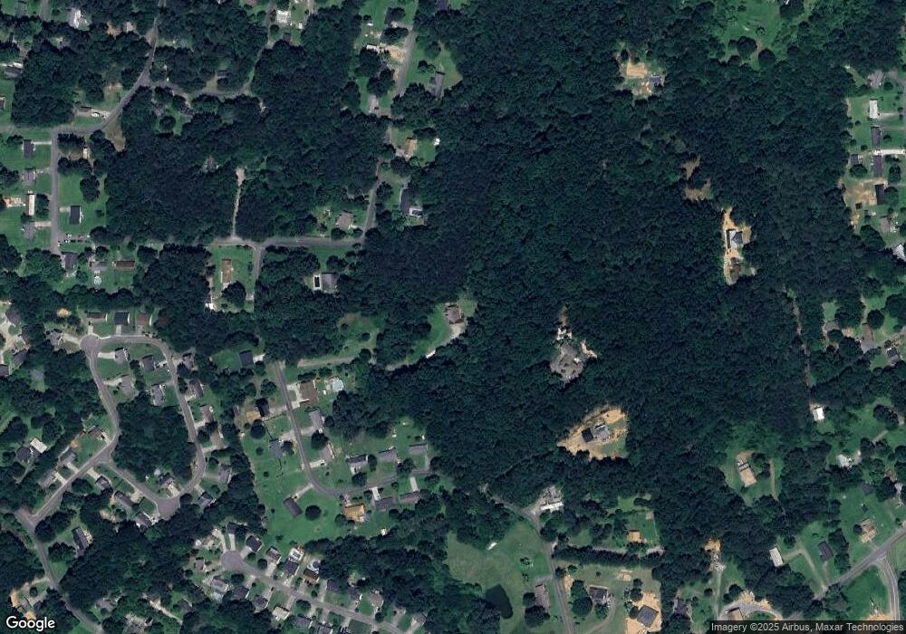
Map
Nearby Homes
- 249 Davis Dr
- 111 Nike Dr
- 130 Red Oak Ln
- 133 Red Oak Ln
- 218 Newtown Rd
- 0 Newtown Rd NE Unit 7019675
- 198 Iracille Ln NE
- 403 S Sequoyah Cir NE
- 367 Mount Vernon Dr
- 218 Newtown Rd NE
- 1215 U S 41
- 106 Mount Vernon Dr
- 118 Old Mill Dr
- 154 Millers Ln
- 453 Chatsworth Highway 225 NE
- 137 Millers Ln
- 135 Millers Ln
- 122 Millers Ln
- 115 Old Mill Dr
- 145 Green Row