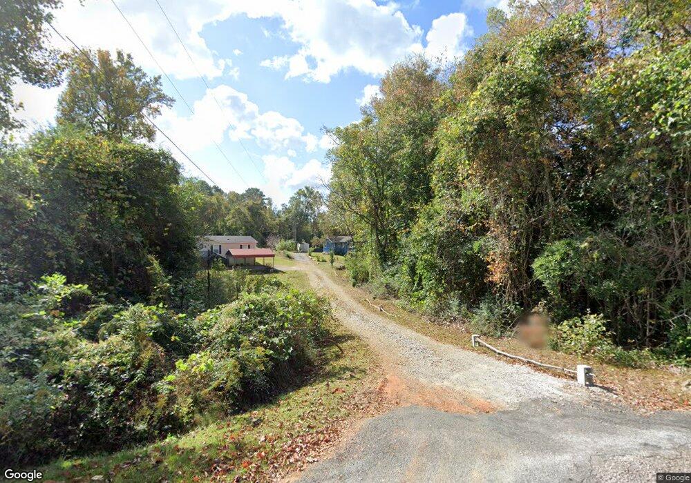
197 Hubbard Rd Warm Springs, GA 31830
Estimated Value: $57,008 - $117,000
3
Beds
1
Bath
640
Sq Ft
$138/Sq Ft
Est. Value
About This Home
This home is located at 197 Hubbard Rd, Warm Springs, GA 31830 and is currently estimated at $88,003, approximately $137 per square foot. 197 Hubbard Rd is a home with nearby schools including Mountain View Elementary School, Manchester Middle School, and Manchester High School.
Ownership History
Date
Name
Owned For
Owner Type
Purchase Details
Closed on
Oct 19, 1994
Sold by
Jim Walter Homes
Bought by
Crawl Monica
Current Estimated Value
Purchase Details
Closed on
Apr 1, 1994
Sold by
Ford Emma Lou
Bought by
Jim Walter Homes
Purchase Details
Closed on
Jan 1, 1982
Bought by
Ford Emma Lou
Purchase Details
Closed on
Aug 17, 1973
Sold by
Callier Luke
Purchase Details
Closed on
Jan 1, 1962
Sold by
Williams Ruby
Bought by
Callier Luke
Create a Home Valuation Report for This Property
The Home Valuation Report is an in-depth analysis detailing your home's value as well as a comparison with similar homes in the area
Home Values in the Area
Average Home Value in this Area
Purchase History
| Date | Buyer | Sale Price | Title Company |
|---|---|---|---|
| Crawl Monica | $11,000 | -- | |
| Jim Walter Homes | $24,100 | -- | |
| Ford Emma Lou | $1,000 | -- | |
| -- | $500 | -- | |
| Callier Luke | $1,000 | -- |
Source: Public Records
Tax History Compared to Growth
Tax History
| Year | Tax Paid | Tax Assessment Tax Assessment Total Assessment is a certain percentage of the fair market value that is determined by local assessors to be the total taxable value of land and additions on the property. | Land | Improvement |
|---|---|---|---|---|
| 2024 | $220 | $9,680 | $4,040 | $5,640 |
| 2023 | $230 | $9,680 | $4,040 | $5,640 |
| 2022 | $230 | $9,680 | $4,040 | $5,640 |
| 2021 | $234 | $9,680 | $4,040 | $5,640 |
| 2020 | $236 | $9,680 | $4,040 | $5,640 |
| 2019 | $234 | $9,680 | $4,040 | $5,640 |
| 2018 | $239 | $9,680 | $4,040 | $5,640 |
| 2017 | $241 | $9,680 | $4,040 | $5,640 |
| 2016 | $210 | $9,680 | $4,040 | $5,640 |
| 2015 | $210 | $9,680 | $4,040 | $5,640 |
| 2014 | $210 | $9,680 | $4,040 | $5,640 |
| 2013 | -- | $9,680 | $4,040 | $5,640 |
Source: Public Records
Map
Nearby Homes
- 6622 Roosevelt Hwy
- 0 Roosevelt Hwy Unit 10548840
- 243 Pine Knoll Dr
- 116 Green St
- 0 Whitehouse Pkwy Unit 10650036
- 261 Green St
- 3688 Whitehouse Pkwy
- 175 ACRES Roosevelt Hwy
- 79 Minnie Mill Ln
- 8046 Roosevelt Hwy
- 8131 Roosevelt Hwy
- 514 Phillips Rd
- 1425 River Rd
- 1604 Judson Bulloch Rd
- 188 Hidden Lakes Rd
- 0 Durand Hwy Unit 10622092
- 7333 White House Pkwy
- 7333 Roosevelt Hwy
- 2385 Nebula Rd
- 434 Phil Howe Rd