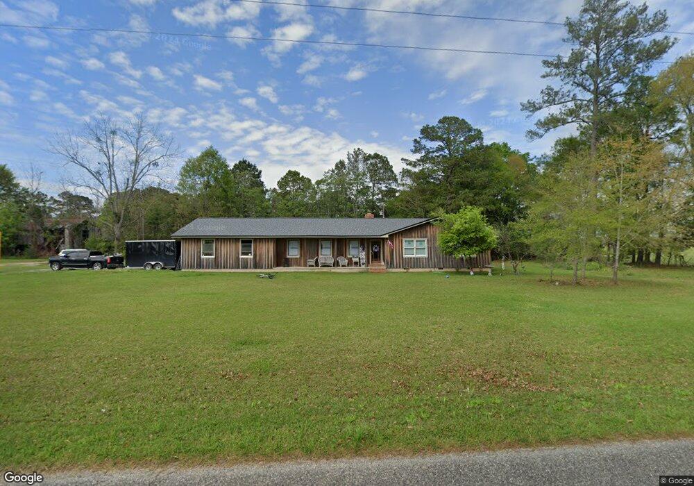
197 Lacy Rd Whigham, GA 39897
Estimated Value: $222,111 - $314,000
4
Beds
2
Baths
2,129
Sq Ft
$124/Sq Ft
Est. Value
About This Home
This home is located at 197 Lacy Rd, Whigham, GA 39897 and is currently estimated at $264,028, approximately $124 per square foot. 197 Lacy Rd is a home located in Grady County.
Ownership History
Date
Name
Owned For
Owner Type
Purchase Details
Closed on
Mar 17, 2023
Sold by
All Source Holdings Llc
Bought by
Dunn Daniel K and Goldon Carmon M
Current Estimated Value
Home Financials for this Owner
Home Financials are based on the most recent Mortgage that was taken out on this home.
Original Mortgage
$202,000
Outstanding Balance
$194,979
Interest Rate
6.32%
Mortgage Type
New Conventional
Estimated Equity
$69,049
Purchase Details
Closed on
Oct 22, 2021
Sold by
Lacy Joan C
Bought by
All Source Holdings Llc
Purchase Details
Closed on
May 10, 2012
Sold by
Ameris Bank
Bought by
Ameris Bank
Purchase Details
Closed on
Sep 17, 1992
Bought by
Lacy Joan C
Create a Home Valuation Report for This Property
The Home Valuation Report is an in-depth analysis detailing your home's value as well as a comparison with similar homes in the area
Purchase History
| Date | Buyer | Sale Price | Title Company |
|---|---|---|---|
| Dunn Daniel K | $212,000 | -- | |
| All Source Holdings Llc | $40,000 | -- | |
| Ameris Bank | -- | -- | |
| Lacy Joan C | -- | -- |
Source: Public Records
Mortgage History
| Date | Status | Borrower | Loan Amount |
|---|---|---|---|
| Open | Dunn Daniel K | $202,000 |
Source: Public Records
Tax History
| Year | Tax Paid | Tax Assessment Tax Assessment Total Assessment is a certain percentage of the fair market value that is determined by local assessors to be the total taxable value of land and additions on the property. | Land | Improvement |
|---|---|---|---|---|
| 2024 | $1,921 | $67,327 | $3,111 | $64,216 |
| 2023 | $1,319 | $42,856 | $2,016 | $40,840 |
| 2022 | $1,319 | $42,856 | $2,016 | $40,840 |
| 2021 | $1,119 | $42,856 | $2,016 | $40,840 |
| 2020 | $1,123 | $42,856 | $2,016 | $40,840 |
| 2019 | $1,123 | $42,856 | $2,016 | $40,840 |
| 2018 | $1,048 | $42,856 | $2,016 | $40,840 |
| 2017 | $994 | $42,856 | $2,016 | $40,840 |
| 2016 | $825 | $36,668 | $2,016 | $34,652 |
| 2015 | $812 | $36,668 | $2,016 | $34,652 |
| 2014 | -- | $36,668 | $2,016 | $34,652 |
| 2013 | -- | $36,005 | $3,600 | $32,405 |
Source: Public Records
Map
Nearby Homes
- 267 Providence Rd
- 274 Barrineau Rd
- 723 Providence Rd
- 206 Lodge Ln
- 384 Cleon Waldrop Rd
- 0 Jowers Rd
- 1718 Old 179 S
- 0 Upper Hawthorne Trail
- 1137 Summerfield
- 00 Lake Douglas
- Lot 27 W Lake Dr
- 1520 Upper Hawthorne Trail
- 1382 Lake Front Dr
- 171 Council Ln
- 000 1st Ave SW
- 1808 Upper Hawthorne Trail
- Lot 1 Crine Blvd
- 1293 McQuaig St NW
- 0 McQuaig St NW
- 1296 McQuaig St NW
- 157 Lacy Rd
- 179 Lacy Rd
- 173 Lacy Rd
- 111 Lacy Rd
- 508 Providence Rd
- 781 Wolf Creek Rd
- 640 Providence Rd
- 210 Durham Ln
- 405 Providence Rd
- 3520 Collins Rd
- 00 Providence Road 5 49 Acres
- 3400 Collins Rd
- 3496 Collins Rd
- 3476 Collins Rd
- 608 Wolf Creek Rd
- 3883 Collins Rd
- 115 Barrineau Rd
- 3383 Collins Rd
- 3320 Collins Rd
- 139 Due Dr S
Your Personal Tour Guide
Ask me questions while you tour the home.