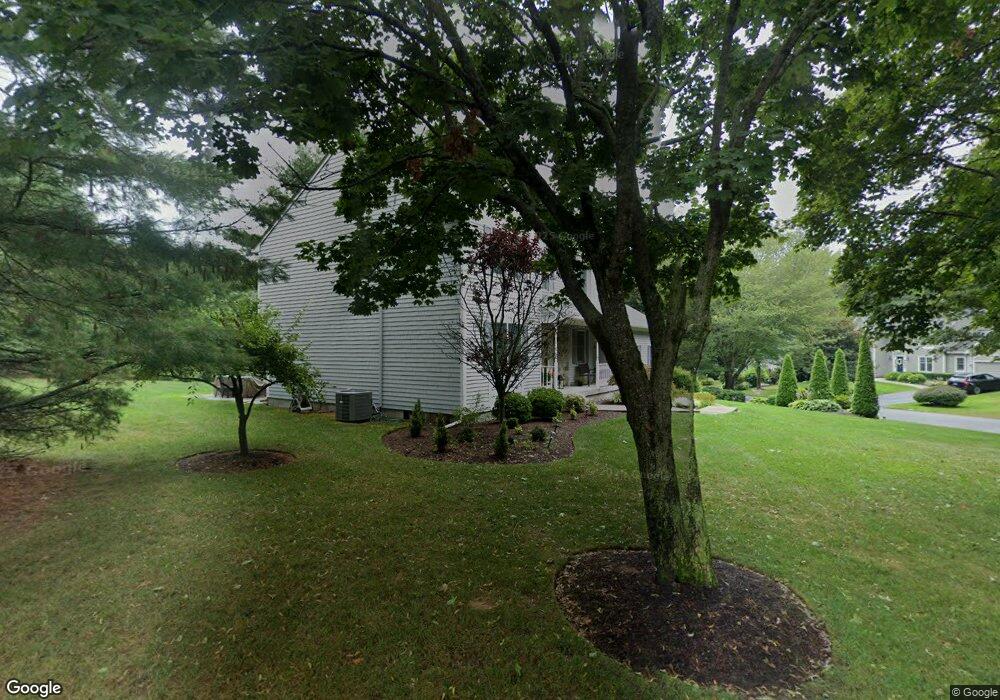
197 Lang Dr North Kingstown, RI 02852
Wickford NeighborhoodEstimated Value: $944,445 - $1,168,000
4
Beds
3
Baths
2,888
Sq Ft
$350/Sq Ft
Est. Value
About This Home
This home is located at 197 Lang Dr, North Kingstown, RI 02852 and is currently estimated at $1,011,111, approximately $350 per square foot. 197 Lang Dr is a home located in Washington County with nearby schools including Stony Lane Elementary School, Davisville Middle School, and North Kingstown Sr. High School.
Ownership History
Date
Name
Owned For
Owner Type
Purchase Details
Closed on
Apr 12, 2001
Sold by
Lorenz William C and Lorenz Sandra A
Bought by
Mccarthy Kevin T and Mccarthy Debra G
Current Estimated Value
Create a Home Valuation Report for This Property
The Home Valuation Report is an in-depth analysis detailing your home's value as well as a comparison with similar homes in the area
Home Values in the Area
Average Home Value in this Area
Purchase History
| Date | Buyer | Sale Price | Title Company |
|---|---|---|---|
| Mccarthy Kevin T | $320,000 | -- |
Source: Public Records
Mortgage History
| Date | Status | Borrower | Loan Amount |
|---|---|---|---|
| Open | Mccarthy Kevin T | $300,000 | |
| Closed | Mccarthy Kevin T | $276,008 | |
| Closed | Mccarthy Kevin T | $295,000 |
Source: Public Records
Tax History Compared to Growth
Tax History
| Year | Tax Paid | Tax Assessment Tax Assessment Total Assessment is a certain percentage of the fair market value that is determined by local assessors to be the total taxable value of land and additions on the property. | Land | Improvement |
|---|---|---|---|---|
| 2025 | $9,805 | $888,100 | $319,700 | $568,400 |
| 2024 | $9,076 | $632,900 | $203,600 | $429,300 |
| 2023 | $9,076 | $632,900 | $203,600 | $429,300 |
| 2022 | $8,899 | $632,900 | $203,600 | $429,300 |
| 2021 | $8,967 | $512,400 | $150,900 | $361,500 |
| 2020 | $8,757 | $512,400 | $150,900 | $361,500 |
| 2019 | $8,757 | $512,400 | $150,900 | $361,500 |
| 2018 | $8,855 | $466,800 | $150,900 | $315,900 |
| 2017 | $8,678 | $466,800 | $150,900 | $315,900 |
| 2016 | $8,430 | $466,800 | $150,900 | $315,900 |
| 2015 | $8,231 | $426,500 | $150,900 | $275,600 |
| 2014 | $8,065 | $426,500 | $150,900 | $275,600 |
Source: Public Records
Map
Nearby Homes
- 165 Scrabbletown Rd
- 02 Carrs Ln
- 0 Sanctuary Ln Unit 1388524
- 01 Sanctuary Ln
- 01 Carrs Ln
- 03 Carrs Ln
- 4000 Quaker Ln
- 201 Rodman Ln
- 103 Rollingwood Dr
- 527 Hatchery Rd
- 42 Thornton Way
- 750 Ten Rod Rd
- 53 Morgan Ct
- 25 Advent St
- 0 Quaker Ln
- 1 Gerald's Farm Dr
- 17 Caddy Rock Rd Unit D
- 15 Caddy Rock Rd Unit A
- 5 Cedar Grove Dr
- 25 Cedar Grove Dr