197 Mcchesney Rd Spartanburg, SC 29306
Estimated Value: $299,000 - $899,898
4
Beds
2
Baths
2,648
Sq Ft
$200/Sq Ft
Est. Value
About This Home
This home is located at 197 Mcchesney Rd, Spartanburg, SC 29306 and is currently estimated at $530,299, approximately $200 per square foot. 197 Mcchesney Rd is a home with nearby schools including Dorman High School Freshman Campus and Dorman High School.
Ownership History
Date
Name
Owned For
Owner Type
Purchase Details
Closed on
Aug 25, 2023
Sold by
Mcchesney Paul Townsend
Bought by
Mcchesney Stanley William
Current Estimated Value
Purchase Details
Closed on
Jun 8, 2023
Sold by
Mcchesney Emily Katherine
Bought by
Mcchesney Paul Townsend
Purchase Details
Closed on
May 13, 2005
Sold by
Mcchesney Emily Katherine and Oneal Emily Mcchesney
Bought by
Mcchesney Paul T and Linton Margaret Rose
Purchase Details
Closed on
May 5, 2005
Sold by
Mcchesney Paul Townsend
Bought by
Mcchesney Paul Townsend
Purchase Details
Closed on
Jan 21, 2005
Sold by
Mcchesney Paul
Bought by
Mcchesney Paul Townsend and Mcchesney Stanley William
Create a Home Valuation Report for This Property
The Home Valuation Report is an in-depth analysis detailing your home's value as well as a comparison with similar homes in the area
Home Values in the Area
Average Home Value in this Area
Purchase History
| Date | Buyer | Sale Price | Title Company |
|---|---|---|---|
| Mcchesney Stanley William | -- | None Listed On Document | |
| Mcchesney Paul Townsend | -- | None Listed On Document | |
| Mcchesney Paul T | $50,000 | -- | |
| Mcchesney Paul Townsend | -- | -- | |
| Mcchesney Paul Townsend | -- | -- |
Source: Public Records
Tax History Compared to Growth
Tax History
| Year | Tax Paid | Tax Assessment Tax Assessment Total Assessment is a certain percentage of the fair market value that is determined by local assessors to be the total taxable value of land and additions on the property. | Land | Improvement |
|---|---|---|---|---|
| 2025 | $3,166 | $14,789 | $841 | $13,948 |
| 2024 | $3,166 | $14,789 | $841 | $13,948 |
| 2023 | $3,166 | $16,175 | $12,147 | $4,028 |
| 2022 | $1,967 | $15,727 | $1,345 | $14,382 |
| 2021 | $2,015 | $9,171 | $815 | $8,356 |
| 2020 | $1,971 | $9,171 | $815 | $8,356 |
| 2019 | $1,928 | $9,171 | $815 | $8,356 |
| 2018 | $1,951 | $9,264 | $822 | $8,442 |
| 2017 | $1,616 | $7,935 | $869 | $7,066 |
| 2016 | $1,642 | $7,935 | $869 | $7,066 |
| 2015 | $1,615 | $7,935 | $869 | $7,066 |
| 2014 | $4,002 | $11,215 | $1,201 | $10,014 |
Source: Public Records
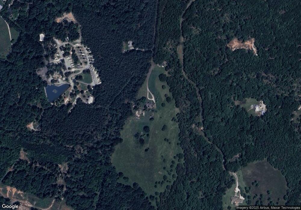
Map
Nearby Homes
- 379 Lawtonwood Ln
- 120 State Road S-42-9962
- 310 Templeton Dr
- 0 Stone Station Rd
- 100 Caroline Dr
- 161 Caroline Dr
- 95 Stone Station Farm
- 95 State Road S-42-9964
- 375 N Timm Creek Ave
- 1102 Skidaway Dr
- 811 S Edisto River Dr
- 0 Independence Ct
- 212 Reedy River Ct
- 215 Reedy River Ct
- 583 Chattooga Rd
- 408 Congaree Rd
- 409 Balfour Rd
- 365 Guernsey Ln
- 707 Tallulah Ct
- 387 Congaree Rd
- 184 Mcchesney Rd
- 3382 Stone Station Rd
- 175 Mcchesney Rd
- 160 Mcchesney Rd
- 120 Pineridge Campground Rd
- 364 Templeton Dr
- 360 Templeton Dr
- 368 Templeton Dr
- 356 Templeton Dr
- 372 Templeton Dr
- 350 Templeton Dr
- 141 Cherry Dr
- 121 Cherry Dr
- 380 Templeton Dr
- 346 Templeton Dr
- 384 Templeton Dr
- 181 Cherry Dr
- 342 Templeton Dr
- 388 Templeton Dr
- 338 Templeton Dr