197 New St Rehoboth, MA 02769
Estimated Value: $686,000 - $791,000
3
Beds
2
Baths
2,538
Sq Ft
$284/Sq Ft
Est. Value
About This Home
This home is located at 197 New St, Rehoboth, MA 02769 and is currently estimated at $719,792, approximately $283 per square foot. 197 New St is a home located in Bristol County with nearby schools including Dighton-Rehoboth Regional High School and Cedar Brook School.
Ownership History
Date
Name
Owned For
Owner Type
Purchase Details
Closed on
Dec 12, 1996
Sold by
Ross Tammy and Ross David M
Bought by
Breese Glenn R and Breese Idalina F
Current Estimated Value
Home Financials for this Owner
Home Financials are based on the most recent Mortgage that was taken out on this home.
Original Mortgage
$110,000
Interest Rate
7.75%
Mortgage Type
Purchase Money Mortgage
Create a Home Valuation Report for This Property
The Home Valuation Report is an in-depth analysis detailing your home's value as well as a comparison with similar homes in the area
Home Values in the Area
Average Home Value in this Area
Purchase History
| Date | Buyer | Sale Price | Title Company |
|---|---|---|---|
| Breese Glenn R | $190,000 | -- |
Source: Public Records
Mortgage History
| Date | Status | Borrower | Loan Amount |
|---|---|---|---|
| Open | Breese Glenn R | $191,500 | |
| Closed | Breese Glenn R | $165,000 | |
| Closed | Breese Glenn R | $110,000 |
Source: Public Records
Tax History Compared to Growth
Tax History
| Year | Tax Paid | Tax Assessment Tax Assessment Total Assessment is a certain percentage of the fair market value that is determined by local assessors to be the total taxable value of land and additions on the property. | Land | Improvement |
|---|---|---|---|---|
| 2025 | $59 | $528,700 | $227,100 | $301,600 |
| 2024 | $5,915 | $520,700 | $227,100 | $293,600 |
| 2023 | $5,515 | $495,000 | $223,100 | $271,900 |
| 2022 | $5,515 | $435,300 | $214,700 | $220,600 |
| 2021 | $5,416 | $409,100 | $198,400 | $210,700 |
| 2020 | $5,030 | $383,400 | $198,400 | $185,000 |
| 2018 | $4,267 | $356,500 | $190,600 | $165,900 |
| 2017 | $4,265 | $339,600 | $190,600 | $149,000 |
| 2016 | $4,171 | $343,300 | $190,600 | $152,700 |
| 2015 | $4,100 | $333,100 | $183,400 | $149,700 |
| 2014 | $3,884 | $312,200 | $176,200 | $136,000 |
Source: Public Records
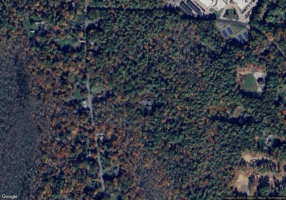
Map
Nearby Homes
- 0 Horton St Unit 73333337
- 2661 Horton St
- 2713 Horton St
- 1030 Oak St
- 24 New St
- 1240 Smith St
- 133 Winthrop St
- 19 Cedar St Unit 21
- 2045 Winthrop St
- 225 Winthrop St
- 0 Monteiro Unit 71870472
- 23 Bay State Rd
- 826 Williams St
- 248 County
- 63 Moulton St
- 246 Winthrop St
- 0 Winthrop St Unit 73180872
- 1421 Tremont St
- 10 Muriel Way
- 1297 Williams St
- 201 New St
- 191 New St
- 205 New St
- 192 New St
- 190 New St
- 209 New St
- 204 New St
- 181 New St
- 206 New St
- 210 New St
- 177 New St
- 2588 Horton St
- 0 Horton St
- 0 Horton St Unit 70284119
- 0 Horton St Unit 73197055
- 0 Horton St Unit 1158271
- 0 Horton St Unit 73006882
- 0 Horton St Unit 72955498
- 0 Horton St Unit 4898754
- 0 Horton St Unit 72924960