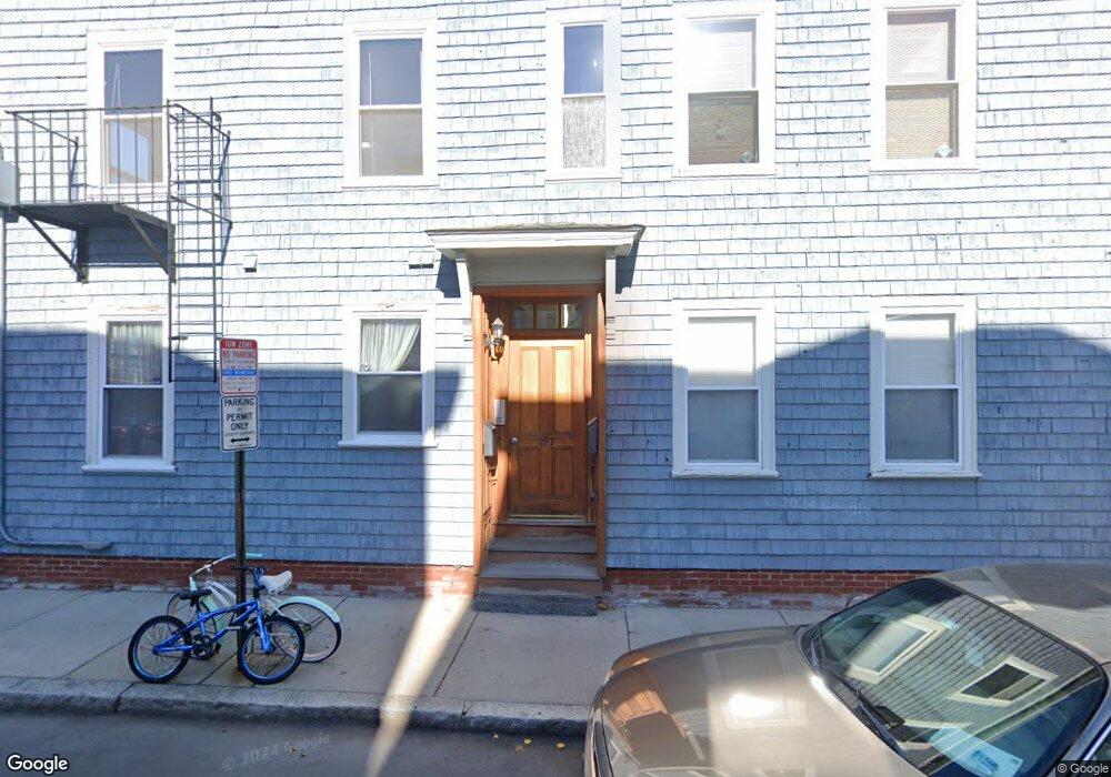
197 Otis St Unit 12B Cambridge, MA 02141
East Cambridge NeighborhoodEstimated Value: $362,336 - $595,000
1
Bed
1
Bath
680
Sq Ft
$708/Sq Ft
Est. Value
About This Home
This home is located at 197 Otis St Unit 12B, Cambridge, MA 02141 and is currently estimated at $481,584, approximately $708 per square foot. 197 Otis St Unit 12B is a home located in Middlesex County with nearby schools including Prospect Hill Academy Charter School and Community Charter School of Cambridge.
Ownership History
Date
Name
Owned For
Owner Type
Purchase Details
Closed on
Jun 18, 2003
Sold by
197 Otis Street Rt
Bought by
Donnellan Patricia
Current Estimated Value
Home Financials for this Owner
Home Financials are based on the most recent Mortgage that was taken out on this home.
Original Mortgage
$164,900
Outstanding Balance
$71,867
Interest Rate
5.71%
Mortgage Type
Purchase Money Mortgage
Estimated Equity
$409,717
Create a Home Valuation Report for This Property
The Home Valuation Report is an in-depth analysis detailing your home's value as well as a comparison with similar homes in the area
Home Values in the Area
Average Home Value in this Area
Purchase History
| Date | Buyer | Sale Price | Title Company |
|---|---|---|---|
| Donnellan Patricia | $240,900 | -- |
Source: Public Records
Mortgage History
| Date | Status | Borrower | Loan Amount |
|---|---|---|---|
| Open | Donnellan Patricia | $164,900 |
Source: Public Records
Tax History Compared to Growth
Tax History
| Year | Tax Paid | Tax Assessment Tax Assessment Total Assessment is a certain percentage of the fair market value that is determined by local assessors to be the total taxable value of land and additions on the property. | Land | Improvement |
|---|---|---|---|---|
| 2025 | $1,022 | $161,000 | $0 | $161,000 |
| 2024 | $953 | $161,000 | $0 | $161,000 |
| 2023 | $943 | $161,000 | $0 | $161,000 |
| 2022 | $953 | $161,000 | $0 | $161,000 |
| 2021 | $907 | $155,000 | $0 | $155,000 |
| 2020 | $891 | $155,000 | $0 | $155,000 |
| 2019 | $921 | $155,000 | $0 | $155,000 |
| 2018 | $94 | $150,000 | $0 | $150,000 |
| 2017 | $974 | $150,000 | $0 | $150,000 |
| 2016 | $1,049 | $150,000 | $0 | $150,000 |
| 2015 | $1,173 | $150,000 | $0 | $150,000 |
| 2014 | $1,257 | $150,000 | $0 | $150,000 |
Source: Public Records
Map
Nearby Homes
- 71 Fulkerson St Unit 206
- 59 7th St Unit 2
- 59 7th St Unit 1
- 59 7th St Unit 3
- 25 6th St
- 1 Marney St
- 1 Marion St Unit 1
- 1 Marion St Unit 6,7
- 1 Marion St Unit 4
- 1 Marion St Unit 6
- 1 Marion St Unit 7
- 170 Gore St Unit 502
- 170 Gore St Unit 113
- 25 Marney St
- 747 Cambridge St Unit 2
- 764 Cambridge St Unit 6
- 148 Berkshire St Unit 4
- 17 York Place Unit 1
- 9 Medford St Unit 3
- 28 Berkshire St
- 197 Otis St Unit A
- 197 Otis St Unit 197C
- 197 Otis St Unit 197B
- 197 Otis St Unit 197A
- 197 Otis St Unit 14B
- 197 Otis St Unit 14A
- 197 Otis St Unit 12A
- 197 Otis St Unit 11B
- 197 Otis St Unit 11A
- 197 Otis St Unit 10B
- 197 Otis St Unit 10A
- 197 Otis St Unit 9A
- 197 Otis St Unit C
- 10 Max Ave Unit 1
- 11 Max Ave Unit B
- 11 Max Ave
- 10 Max Ave
- 197 Otis St Unit 9
- 11 Max Ave Unit Ave
- 11 Max Ave Unit A