197 Perth Ln Saint Simons Island, GA 31522
Estimated Value: $3,215,000 - $4,173,000
4
Beds
3
Baths
--
Sq Ft
2.4
Acres
About This Home
This home is located at 197 Perth Ln, Saint Simons Island, GA 31522 and is currently estimated at $3,796,172. 197 Perth Ln is a home located in Glynn County with nearby schools including Oglethorpe Point Elementary School, Glynn Middle School, and Glynn Academy.
Ownership History
Date
Name
Owned For
Owner Type
Purchase Details
Closed on
Mar 12, 2024
Sold by
Dbp Enterprises Llc
Bought by
Bonnie D Perdue 2010 Trust and Perdue Bonnie D Trust
Current Estimated Value
Purchase Details
Closed on
Jun 1, 2023
Sold by
Perdue Bonnie D
Bought by
Dbp Enterprises Llc
Purchase Details
Closed on
Mar 26, 2021
Sold by
Platek Laurie A
Bought by
Perdue David A and Perdue Bonnie D
Purchase Details
Closed on
Dec 27, 2019
Sold by
Glenwood Vista Llc
Bought by
Platek Laurie A
Create a Home Valuation Report for This Property
The Home Valuation Report is an in-depth analysis detailing your home's value as well as a comparison with similar homes in the area
Home Values in the Area
Average Home Value in this Area
Purchase History
| Date | Buyer | Sale Price | Title Company |
|---|---|---|---|
| Bonnie D Perdue 2010 Trust | -- | -- | |
| David A Perdue Jr 2010 Trust | -- | -- | |
| Dbp Enterprises Llc | -- | -- | |
| Perdue David A | $525,000 | -- | |
| Platek Laurie A | $250,000 | -- |
Source: Public Records
Tax History Compared to Growth
Tax History
| Year | Tax Paid | Tax Assessment Tax Assessment Total Assessment is a certain percentage of the fair market value that is determined by local assessors to be the total taxable value of land and additions on the property. | Land | Improvement |
|---|---|---|---|---|
| 2025 | $39,392 | $1,570,720 | $172,779 | $1,397,941 |
| 2024 | $42,858 | $1,708,920 | $180,000 | $1,528,920 |
| 2023 | $29,083 | $1,183,480 | $180,000 | $1,003,480 |
| 2022 | $4,564 | $182,000 | $182,000 | $0 |
| 2021 | $4,034 | $156,000 | $156,000 | $0 |
| 2020 | $2,611 | $100,000 | $100,000 | $0 |
| 2019 | $3,655 | $140,000 | $140,000 | $0 |
| 2018 | $4,700 | $180,000 | $180,000 | $0 |
| 2017 | $4,700 | $180,000 | $180,000 | $0 |
| 2016 | $4,320 | $180,000 | $180,000 | $0 |
| 2015 | $4,097 | $180,000 | $180,000 | $0 |
| 2014 | $4,097 | $170,000 | $170,000 | $0 |
Source: Public Records
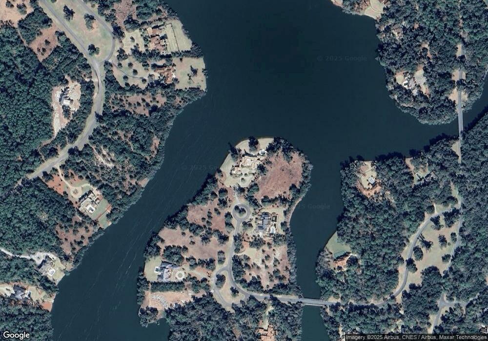
Map
Nearby Homes
- 143 Kirkaldy Ln
- 1333 Pikes Bluff Rd
- 1309 Pikes Bluff Rd
- 15 Alford Ln
- 22 Cromley Ct
- 107 Harris Ln
- 75 Palisade Ln
- 160 Harris Ln
- 49 Hatton Ln
- 316 Pikes Bluff Dr
- 106 Telford Ln
- 155 Saint Annies Ln
- 24 Hinchinbrooke Cir
- 134 Telford Ln
- 506 Conservation Dr
- 105 Hasell Ln
- 0 Harwell Dr
- 255 Saint Annies Ln
- 4 Fred Dr
- 17 Fred Dr
- 197 Perth (Lot 182) Ln
- 196 Perth Ln
- 192 Perth Ln
- 174 Perth Ln
- 174 Perth Ln Unit (Lot 179)
- 135 Kirkaldy Ln
- 136 Perth Ln
- 23 Cameron Cir
- 23 Cameron Cir Unit (Lot 186)
- 196 Perth (Lot 181) Ln
- 193 Perth Ln
- 187 Perth Ln
- 116 Perth Lane (Lot 126)
- 41 Logan Cir
- 151 Kirkaldy Ln
- 163 Perth Ln
- 104 Perth Ln
- 116 Perth Ln
- 110 Perth Ln
- 110 Perth Ln