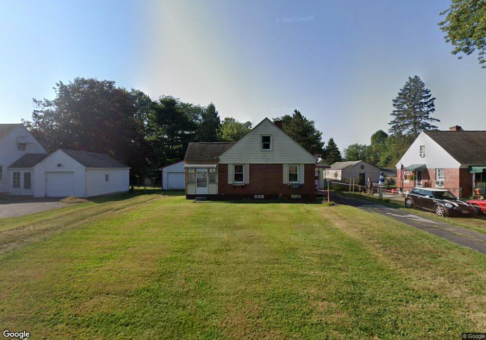
197 Pierson Blvd Newark, OH 43055
Estimated Value: $216,000 - $257,000
3
Beds
1
Bath
1,500
Sq Ft
$161/Sq Ft
Est. Value
About This Home
This home is located at 197 Pierson Blvd, Newark, OH 43055 and is currently estimated at $241,724, approximately $161 per square foot. 197 Pierson Blvd is a home located in Licking County with nearby schools including John Clem Elementary School, Liberty Middle School, and Newark High School.
Ownership History
Date
Name
Owned For
Owner Type
Purchase Details
Closed on
Sep 17, 2009
Sold by
W K Frost Inc
Bought by
Davis Emil P and Davis Sarah J
Current Estimated Value
Home Financials for this Owner
Home Financials are based on the most recent Mortgage that was taken out on this home.
Original Mortgage
$105,945
Outstanding Balance
$69,953
Interest Rate
5.38%
Mortgage Type
FHA
Estimated Equity
$171,771
Purchase Details
Closed on
Jan 19, 2009
Sold by
Fannie Mae
Bought by
W K Frost Inc
Purchase Details
Closed on
Jan 25, 2007
Sold by
Galbraith Harold P
Bought by
Federal National Mortgage Association
Create a Home Valuation Report for This Property
The Home Valuation Report is an in-depth analysis detailing your home's value as well as a comparison with similar homes in the area
Home Values in the Area
Average Home Value in this Area
Purchase History
| Date | Buyer | Sale Price | Title Company |
|---|---|---|---|
| Davis Emil P | $107,900 | Attorney | |
| W K Frost Inc | $57,200 | Accutitle Agency Inc | |
| Federal National Mortgage Association | $65,000 | None Available |
Source: Public Records
Mortgage History
| Date | Status | Borrower | Loan Amount |
|---|---|---|---|
| Open | Davis Emil P | $105,945 |
Source: Public Records
Tax History Compared to Growth
Tax History
| Year | Tax Paid | Tax Assessment Tax Assessment Total Assessment is a certain percentage of the fair market value that is determined by local assessors to be the total taxable value of land and additions on the property. | Land | Improvement |
|---|---|---|---|---|
| 2024 | $2,117 | $59,160 | $20,970 | $38,190 |
| 2023 | $2,113 | $59,160 | $20,970 | $38,190 |
| 2022 | $1,779 | $44,310 | $12,320 | $31,990 |
| 2021 | $1,866 | $44,310 | $12,320 | $31,990 |
| 2020 | $1,908 | $44,310 | $12,320 | $31,990 |
| 2019 | $1,652 | $36,930 | $12,320 | $24,610 |
| 2018 | $1,653 | $0 | $0 | $0 |
| 2017 | $1,634 | $0 | $0 | $0 |
| 2016 | $1,650 | $0 | $0 | $0 |
| 2015 | $1,685 | $0 | $0 | $0 |
| 2014 | $2,158 | $0 | $0 | $0 |
| 2013 | $1,645 | $0 | $0 | $0 |
Source: Public Records
Map
Nearby Homes
- 227 N Quentin Rd
- 988 Mount Vernon Rd
- 370 Meadowbrook Dr
- 27 E Channel St
- 74 Cherry St
- 440 Reverie Place
- 403 Meadowbrook Dr
- 52 Charles St
- 473 Meadowbrook Dr
- 11 Waterworks Rd
- 542 Mount Vernon Rd
- 544 Hudson Ave
- 156 E Channel St
- 425 N 11th St
- 160 E Channel St
- 1049 Sunrise Dr
- 467 Mount Vernon Rd
- 584 Moull St Unit A
- 261 Goosepond Rd Unit D
- 259 Goosepond Rd Unit C
- 191 Pierson Blvd
- 203 Pierson Blvd
- 185 Pierson Blvd
- 209 Pierson Blvd
- 196 Stare Rd
- 204 Stare Rd
- 190 Stare Rd
- 210 Stare Rd
- 196 Pierson Blvd
- 190 Pierson Blvd
- 200 Pierson Blvd
- 186 Pierson Blvd
- 204 Pierson Blvd
- 176 Stare Rd
- 182 Pierson Blvd
- 208 Pierson Blvd
- 169 Pierson Blvd
- 176 Pierson Blvd
- 222 Stare Rd
- 227 Pierson Blvd