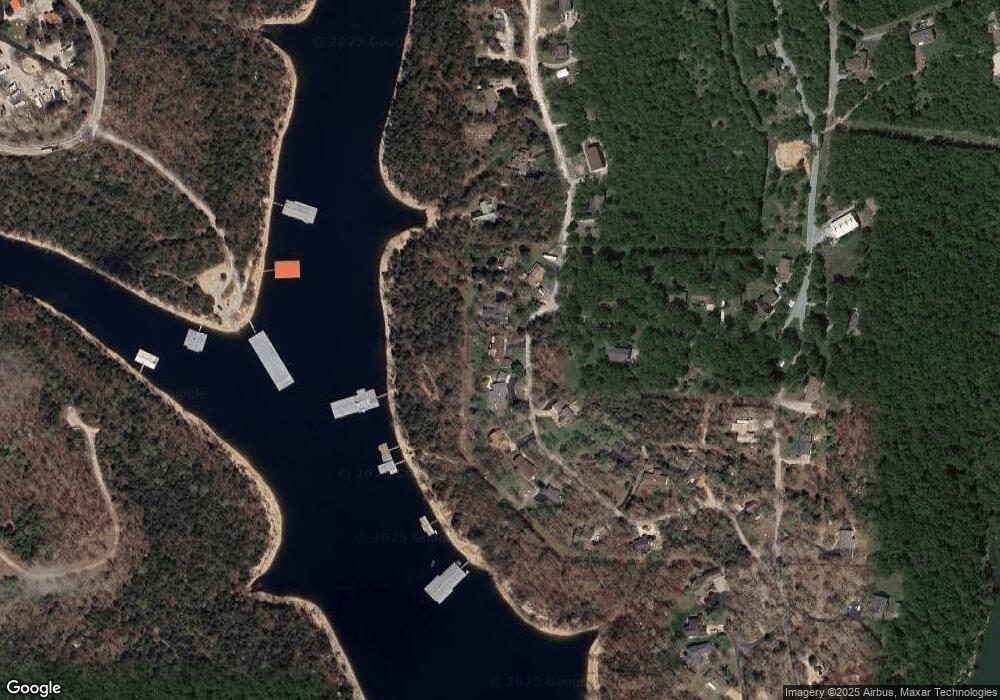
197 Scottsdale Cir Branson West, MO 65737
Estimated Value: $354,000 - $488,316
4
Beds
3
Baths
3,528
Sq Ft
$121/Sq Ft
Est. Value
About This Home
This home is located at 197 Scottsdale Cir, Branson West, MO 65737 and is currently estimated at $425,329, approximately $120 per square foot. 197 Scottsdale Cir is a home located in Stone County with nearby schools including Reeds Spring Primary School, Reeds Spring Elementary School, and Reeds Spring Middle School.
Ownership History
Date
Name
Owned For
Owner Type
Purchase Details
Closed on
Aug 30, 2023
Sold by
Turner Dean Properties Llc
Bought by
Fisher Janell
Current Estimated Value
Purchase Details
Closed on
May 15, 2009
Sold by
Reese A Drew and Reese Jeanne M
Bought by
Brandsma Jason and Brandsma Nancy Jo
Home Financials for this Owner
Home Financials are based on the most recent Mortgage that was taken out on this home.
Original Mortgage
$1,609
Interest Rate
4.77%
Mortgage Type
Seller Take Back
Create a Home Valuation Report for This Property
The Home Valuation Report is an in-depth analysis detailing your home's value as well as a comparison with similar homes in the area
Home Values in the Area
Average Home Value in this Area
Purchase History
| Date | Buyer | Sale Price | Title Company |
|---|---|---|---|
| Fisher Janell | -- | None Listed On Document | |
| Brandsma Jason | -- | -- |
Source: Public Records
Mortgage History
| Date | Status | Borrower | Loan Amount |
|---|---|---|---|
| Previous Owner | Brandsma Jason | $1,609 |
Source: Public Records
Tax History Compared to Growth
Tax History
| Year | Tax Paid | Tax Assessment Tax Assessment Total Assessment is a certain percentage of the fair market value that is determined by local assessors to be the total taxable value of land and additions on the property. | Land | Improvement |
|---|---|---|---|---|
| 2024 | $1,286 | $26,260 | -- | -- |
| 2023 | $1,284 | $26,260 | $0 | $0 |
| 2022 | $1,277 | $26,260 | $0 | $0 |
| 2021 | $1,293 | $26,260 | $0 | $0 |
| 2020 | $1,139 | $26,260 | $0 | $0 |
| 2019 | $1,132 | $26,260 | $0 | $0 |
| 2018 | $1,131 | $26,260 | $0 | $0 |
| 2017 | $1,042 | $24,170 | $0 | $0 |
| 2016 | $1,014 | $24,170 | $0 | $0 |
| 2015 | $1,016 | $24,170 | $0 | $0 |
| 2014 | $999 | $24,170 | $0 | $0 |
| 2012 | $1,001 | $24,170 | $0 | $0 |
Source: Public Records
Map
Nearby Homes
- 374 Heather Row
- 127 Kachina Trail
- Lots19&20 Acoma Dr
- 3133 Talking Rocks Rd
- 2866 State Highway Dd
- 267 Blue Springs Ln
- 117 Blue Springs Ln
- 248 Ikard Ln
- 224 Ikard Ln
- 42 Columbine Dr
- Lot 3 Waterfield Dr
- Lot 2 Waterfield Dr
- Lot 1 Waterfield Dr
- 000 Waterfield Dr
- Lot 38 Waterfield Dr
- Lot 9 Azalea Ln
- 42 Azalea Ln
- Lot 25 Trail New Ln
- 10 Sterling Oaks Ln
- 93 Canada Dr
- 225 Scottsdale Cir
- 155 Scottsdale Cir
- 220 Scottsdale Cir
- 151 Scottsdale Cir
- 153 Scottsdale Cir
- 263 Scottsdale Cir
- 131 Scottsdale Cir
- 94 Scottsdale Cir
- 276 Scottsdale Cir
- 285 Scottsdale Cir
- 604 Blue Springs Ln
- 596 Blue Springs Ln
- 459 Heather Row
- 75 Scottsdale Cir
- 342 Scottsdale Cir
- 52 Scottsdale Cir
- 328 Scottsdale Cir
- 311 Scottsdale Cir
- 573 Blue Springs Ln
- 53 Scottsdale Cir
