197 SE Douglas St Pilot Rock, OR 97868
Estimated Value: $217,000 - $281,000
2
Beds
1
Bath
1,088
Sq Ft
$224/Sq Ft
Est. Value
About This Home
This home is located at 197 SE Douglas St, Pilot Rock, OR 97868 and is currently estimated at $243,247, approximately $223 per square foot. 197 SE Douglas St is a home with nearby schools including Pilot Rock Elementary School and Pilot Rock High School.
Ownership History
Date
Name
Owned For
Owner Type
Purchase Details
Closed on
Dec 18, 2019
Sold by
Misty Enterprises Llc
Bought by
Hunt Jordan L
Current Estimated Value
Home Financials for this Owner
Home Financials are based on the most recent Mortgage that was taken out on this home.
Original Mortgage
$126,262
Outstanding Balance
$111,318
Interest Rate
3.6%
Mortgage Type
New Conventional
Estimated Equity
$131,929
Purchase Details
Closed on
May 9, 2016
Sold by
Hollinger Misty D
Bought by
Misty Enterprises Llc
Purchase Details
Closed on
Dec 9, 2015
Sold by
Rl Rowe Rentals Llc
Bought by
Hollinger Misty D
Purchase Details
Closed on
Aug 9, 2010
Sold by
Rowe Richard L and Rowe Misty D
Bought by
Rl Rowe Rentals Llc
Purchase Details
Closed on
Oct 20, 2006
Sold by
Burnham Joe Fraser and Burnham Bernard
Bought by
Rowe Richard L and Rowe Misty D
Create a Home Valuation Report for This Property
The Home Valuation Report is an in-depth analysis detailing your home's value as well as a comparison with similar homes in the area
Home Values in the Area
Average Home Value in this Area
Purchase History
| Date | Buyer | Sale Price | Title Company |
|---|---|---|---|
| Hunt Jordan L | $125,000 | Amerititle | |
| Misty Enterprises Llc | -- | None Available | |
| Hollinger Misty D | -- | None Available | |
| Rl Rowe Rentals Llc | -- | None Available | |
| Rowe Richard L | $57,000 | Amerititle |
Source: Public Records
Mortgage History
| Date | Status | Borrower | Loan Amount |
|---|---|---|---|
| Open | Hunt Jordan L | $126,262 |
Source: Public Records
Tax History Compared to Growth
Tax History
| Year | Tax Paid | Tax Assessment Tax Assessment Total Assessment is a certain percentage of the fair market value that is determined by local assessors to be the total taxable value of land and additions on the property. | Land | Improvement |
|---|---|---|---|---|
| 2024 | $1,589 | $92,060 | $18,400 | $73,660 |
| 2023 | $1,557 | $89,380 | $17,870 | $71,510 |
| 2022 | $1,479 | $86,780 | $0 | $0 |
| 2021 | $1,483 | $84,260 | $16,850 | $67,410 |
| 2020 | $1,350 | $81,810 | $16,360 | $65,450 |
| 2018 | $1,140 | $73,580 | $23,000 | $50,580 |
| 2017 | $1,196 | $77,060 | $24,020 | $53,040 |
| 2016 | $1,242 | $77,120 | $18,080 | $59,040 |
| 2015 | $1,219 | $70,590 | $16,540 | $54,050 |
| 2014 | $1,155 | $70,590 | $16,540 | $54,050 |
Source: Public Records
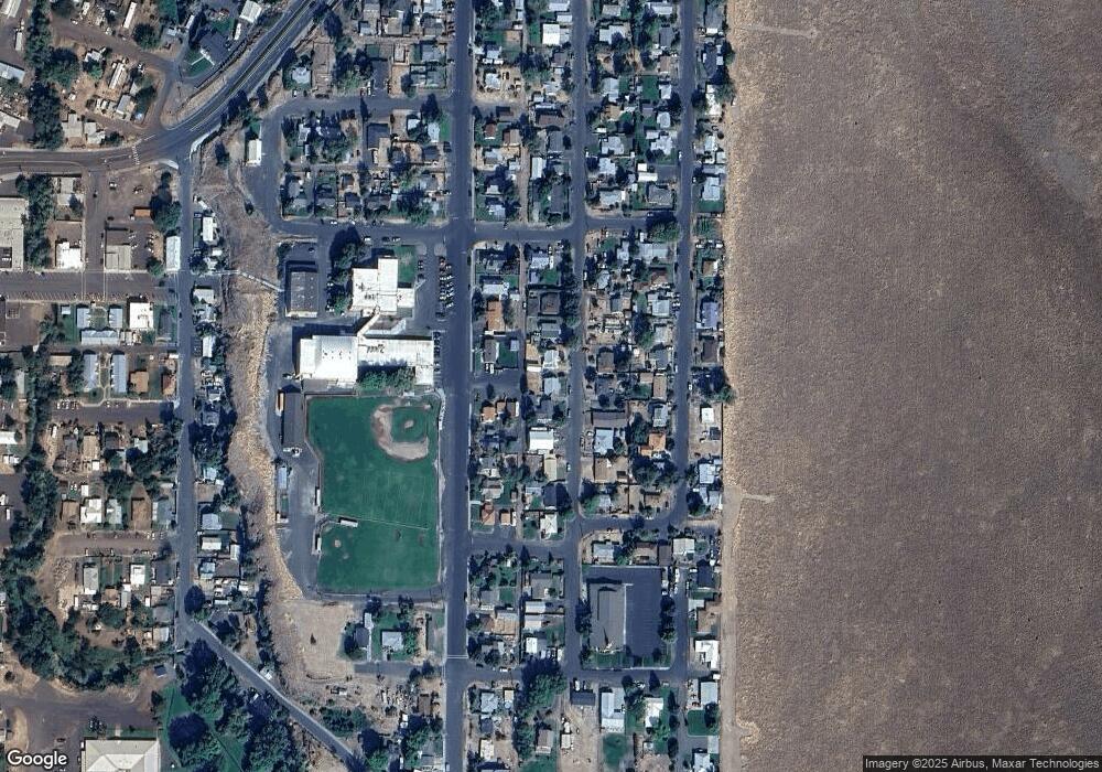
Map
Nearby Homes
- 520 NE 4th St
- 261 SW 2nd St
- 706 NE Gumwood St
- 44743 McKay Creek Rd
- 70349 Lakeside Rd
- 63615 E Birch Creek Ed
- 000 Motanic Rd
- 0000 County 1031 Rd
- 71539 SW Bridle Dr
- 72062 Westfield Blvd
- 904 SW 43rd St
- 4207 SW Sheridan Ave
- 0 Mckay Dr
- 1901 SW Runnion Ln
- 1437 SW 40th St
- 1914 SW 2nd Dr
- 1437 SW 37th St Unit 43
- 1328 SW 44th St
- 0 SW 2nd St Unit 263926795
- 1703 SW 2nd St
- 219 SE Douglas St
- 149 SE Douglas St
- 196 SE Douglas St
- 216 SE Douglas St
- 172 SE Douglas St
- 210 SE Cherry St
- 172 SE Cherry St
- 236 SE Cherry St
- 143 SE Douglas St
- 247 SE Douglas St
- 148 Cherry St
- 146 SE Douglas St
- 264 SE Douglas St
- 203 SE Elm St
- 248 SE Cherry St
- 227 SE Elm St
- 265 SE Douglas St
- 364 E Main St
- 243 SE Elm St
- 264 SE Cherry St