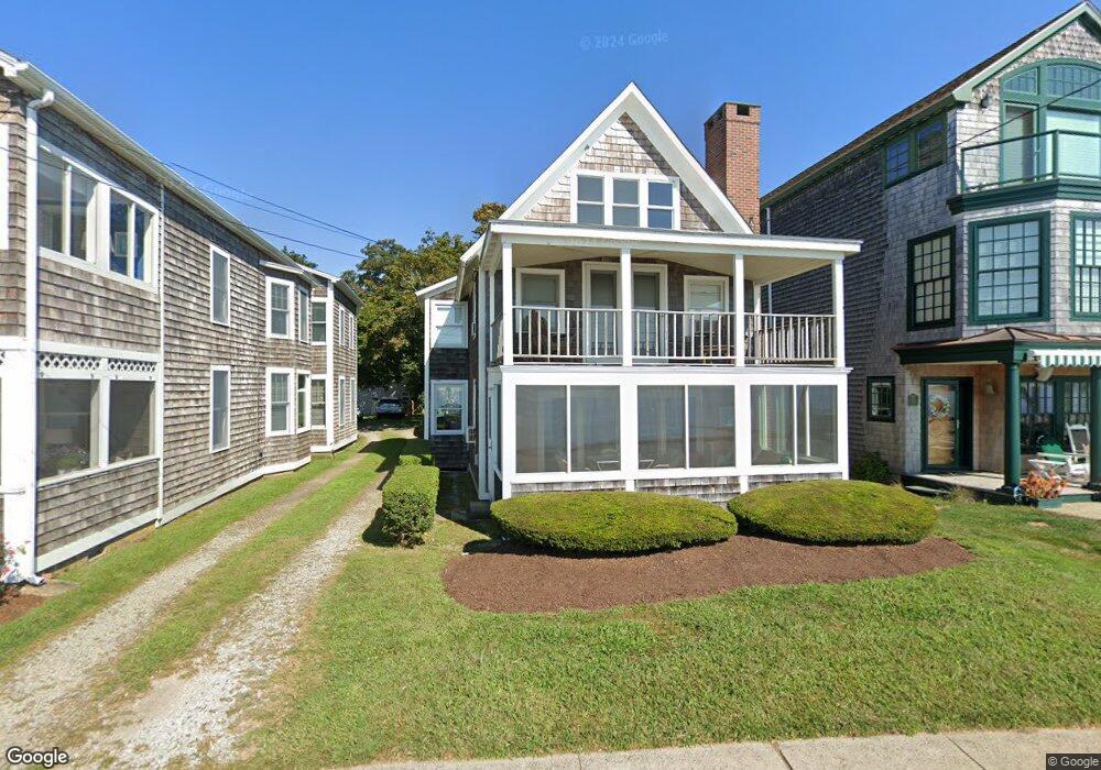
197 Seaside Ave Westbrook, CT 06498
Estimated Value: $988,000 - $1,302,000
4
Beds
2
Baths
1,618
Sq Ft
$694/Sq Ft
Est. Value
About This Home
This home is located at 197 Seaside Ave, Westbrook, CT 06498 and is currently estimated at $1,122,910, approximately $694 per square foot. 197 Seaside Ave is a home located in Middlesex County with nearby schools including Daisy Ingraham School, Westbrook Middle School, and Westbrook High School.
Ownership History
Date
Name
Owned For
Owner Type
Purchase Details
Closed on
Jun 7, 2007
Sold by
Bidwell Tr Elizabeth and Thorpe Raymond
Bought by
Siu Albert and Chan Margaret
Current Estimated Value
Home Financials for this Owner
Home Financials are based on the most recent Mortgage that was taken out on this home.
Original Mortgage
$60,000
Interest Rate
5.74%
Mortgage Type
Purchase Money Mortgage
Create a Home Valuation Report for This Property
The Home Valuation Report is an in-depth analysis detailing your home's value as well as a comparison with similar homes in the area
Home Values in the Area
Average Home Value in this Area
Purchase History
| Date | Buyer | Sale Price | Title Company |
|---|---|---|---|
| Siu Albert | $825,000 | -- |
Source: Public Records
Mortgage History
| Date | Status | Borrower | Loan Amount |
|---|---|---|---|
| Open | Siu Albert | $492,000 | |
| Closed | Siu Albert | $60,000 |
Source: Public Records
Tax History Compared to Growth
Tax History
| Year | Tax Paid | Tax Assessment Tax Assessment Total Assessment is a certain percentage of the fair market value that is determined by local assessors to be the total taxable value of land and additions on the property. | Land | Improvement |
|---|---|---|---|---|
| 2025 | $10,409 | $462,620 | $403,600 | $59,020 |
| 2024 | $10,039 | $462,620 | $403,600 | $59,020 |
| 2023 | $9,863 | $462,620 | $403,600 | $59,020 |
| 2022 | $9,604 | $462,620 | $403,600 | $59,020 |
| 2021 | $8,959 | $358,370 | $308,760 | $49,610 |
| 2020 | $8,959 | $358,370 | $308,760 | $49,610 |
| 2019 | $8,841 | $358,370 | $308,760 | $49,610 |
| 2018 | $8,733 | $358,370 | $308,760 | $49,610 |
| 2017 | $8,733 | $358,370 | $308,760 | $49,610 |
| 2016 | $12,171 | $525,980 | $472,230 | $53,750 |
| 2015 | $11,840 | $525,980 | $472,230 | $53,750 |
| 2014 | $11,461 | $525,980 | $472,230 | $53,750 |
Source: Public Records
Map
Nearby Homes
- 49 Seaside Ave
- 912 Boston Post Rd
- 610 Marina Way Landing Unit 610
- 0 Boston Post Rd Unit 24080344
- 41 Trolley Rd
- 30 Dowd Rd
- 29 Salt Island Rd
- 1110 Old Clinton Rd
- 951 Old Clinton Rd Unit 15
- 11a/11b Pond Circle Rd
- 155 Fawn Hill Dr
- 15 Stone Hedge Rd
- 87 McVeagh Rd
- 86 Grove Beach Rd N
- 8 Cook Terrace
- 321 Old Clinton Rd
- 50 & 61 Grove Way
- 407 Grove Beach Rd N
- 448 A - B Grove Beach Rd N
- 5 Robin Ln
- 193 Seaside Ave
- 199 Seaside Ave
- 189 Seaside Ave
- 189 Seaside Ave Unit R #1
- 189 Seaside Ave Unit 2nd f
- 189 Seaside Ave Unit 3rd f
- 189 Seaside Ave Unit 1ST F
- 189 Seaside Ave Unit 3rd Floor Front
- 203 Seaside Ave
- 209 Seaside Ave
- 185 Seaside Ave
- 213 Seaside Ave
- 173 Seaside Ave
- 90 Bellstone Ave
- 2318 Seaside Ave
- 279283 Seaside Ave
- 129 Seaside Ave
- 219 Seaside Ave
- 84 Bellstone Ave
- 93 Bellstone Ave Unit 3rd floor